Met Office daily weather: Changeable, with periods of wet and windy weather
This weekend’s weather will be changeable, with periods of wet and windy weather interspersed with brighter spells.
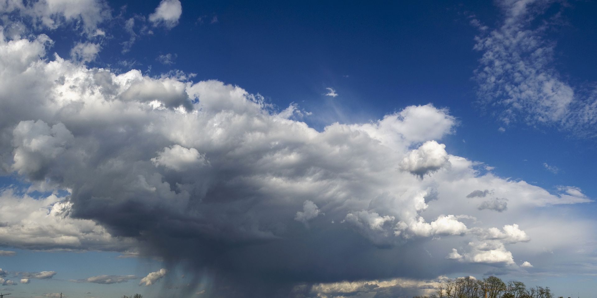
Saturday will bring a distinctly unsettled start to the weekend, as showers sweep northeast and east across the UK. These showers may be heavy and prolonged at times, with the most widespread wet weather expected early on in northern areas. As the day progresses, showers will become more focused in western and southern regions, including the southeast, where they are likely to organise into bands later in the day. There is an increasing risk of thunderstorms and small hail, particularly in these bands.
Between the showers, sunny spells will develop, with the best of these in eastern parts. It will be a generally windy day, with the chance of coastal gales, especially in the north, and blustery conditions near showers elsewhere. Temperatures will be around average for the time of year, but it will feel colder in the wind. High ground in the north will see low single figures, while lower levels can expect 9–11°C. Across northern and central England and Wales, 11–13°C will be more typical, with localised highs of 15–16°C possible in the southeast.
As we replace Halloween for Bonfire celebrations, here's all the weather info you need for this weekend 🎆 pic.twitter.com/ZC7wcj70GX
— Met Office (@metoffice) October 31, 2025
The unsettled theme continues into Saturday night, with further areas of showers and rain moving east and north across the country. Some of these may be heavy and accompanied by thunder. It will be a colder night than previously, especially in the north, where frost is likely over the mountains of Scotland. Some clear spells are expected, but the wind will remain a feature.
Outlook for Sunday
Sunday begins with a band of locally heavy showers clearing eastwards early in the day. Many areas will then experience breezy conditions with sunny spells, though further showers are likely in the west. The north and northwest will be windier and cloudier, with outbreaks of rain and possible coastal gales. As the day progresses, cloud will increase from the west, bringing rain to many areas later. Temperatures will be near or a little below average.
Met Office presenter and meteorologist, Honor Criswick, said: "It's an unsettled start to the weekend, particularly across the northern half of the country. There'll be some spells of rain which could be heavy and blustery. But by the time we reach later into the morning, most of this will have cleared away into the North Sea, allowing some sunshine to develop. But once again, we can't rule out some showers. These mostly pushing into parts of the west, though some could skirt into eastern areas at times.
READ MORE: Met Office weekend weather: Showers, wind, and occasional sunny spells
"These showers could also be heavy with some hail and thunder. and it's still going to be quite a blustery day and not feeling quite as mild as Friday afternoon. Temperatures around 15°C, but feeling a little bit chillier in that wind. Now for the rest of the weekend, low pressure is still very much dominating, often sat to the northwest, which means we continue to see this westerly flow. So more frontal systems moving through, some more cloud and some spells of rain.”
Keep up to date with weather warnings, and you can find the latest forecast on our website, on YouTube, by following us on X and Facebook, as well as on our mobile app which is available for iPhone from the App store and for Android from the Google Play store.