10-Day trend: a noticeable shift in the weather pattern
The next 10 days will bring a noticeable shift in the weather pattern across the UK.
While the remainder of this week stays rather unsettled with areas of rain, showers and brisk winds, there are increasing signs of a more settled spell developing from the weekend.
High pressure is expected to build from the south and west, bringing several days of drier weather and more sunshine for many. However, while conditions will improve, temperatures may remain fairly subdued at times, particularly in cloudier eastern areas.
End of the working week: Unsettled and breezy
Through Thursday and Friday, low pressure remains influential, keeping the weather changeable. The wettest conditions are expected across north‑western parts of the UK, where spells of rain and heavier showers are likely. Elsewhere, particularly further south and east, there will be brighter interludes between showers.
Friday looks set to be a notably windy day, especially across northern and western areas. A band of rain will move across the UK during the day, bringing a spell of wet weather before clearer conditions follow from the west. Despite the unsettled nature, temperatures will generally sit close to average, with highs reaching the mid to high teens in sunnier breaks but feeling cooler where winds are strongest.
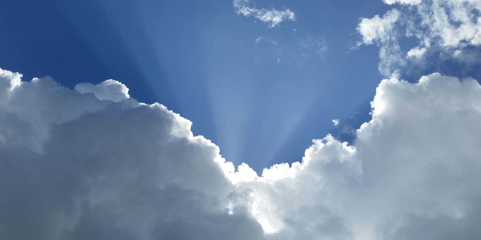
Fed up with the rain and showers? Well then we have some good news 🌤️
— Met Office (@metoffice) April 15, 2026
High pressure is building across the UK just in time for the weekend. While some cloud or the odd shower is still possible, most places will be fine, dry and settled 🌻 pic.twitter.com/gvKpbY9Loq
Weekend transition: High-pressure building
Saturday marks the start of a gradual transition towards more settled weather. Northern areas are likely to hold onto some showers, particularly across Scotland and Northern Ireland, where a brisk westerly breeze will also keep conditions feeling cool. In contrast, southern parts of the UK should see a largely dry day with increasing amounts of sunshine, especially across eastern England.
Temperatures on Saturday will reflect this north‑south split, with values closer to 10 or 11°C in the north, while southern and eastern areas may once again climb towards the high teens when sunny.
By Sunday, high pressure becomes more dominant across much of the UK. This should bring a widespread reduction in rainfall, with many areas enjoying a dry day. Winds are likely to turn more northerly or easterly for a time, introducing slightly cooler air, but sunshine will still make it feel pleasant in sheltered locations.
Early next week: Dry for many, but not uniformly warm
High pressure is expected to remain close to the UK into the early part of next week, bringing a spell of largely dry and settled weather for most. Many areas will see prolonged dry weather, something that has been in short supply recently.
However, the positioning of the high pressure will be important. Easterly winds are likely to develop, which are not typically a warm airflow for the UK. As a result, western areas such as Wales, western England, western Scotland and Northern Ireland are likely to fare best for sunshine. In contrast, eastern coastal areas may see more cloud, and there is a risk of sea fog at times, particularly along parts of the east coast of England and eastern Scotland.
Daytime temperatures will often be close to average, perhaps slightly above in sunny western areas. Where cloud lingers, it may feel cooler despite the time of year.
READ MORE: Pacific Ocean warming signals the possible return of a strong El Niño
Night-time temperatures and frost risk
With clear skies under high pressure, night‑time temperatures may fall quite low at times. This means there remains a small risk of frost, particularly in northern areas and rural spots. Southern areas are less likely to see frost, but minimum temperatures could still dip into the low single figures on the coldest nights.
Gardeners should continue to keep an eye on forecasts, especially in northern regions, where colder nights remain more likely.
Mid to late next week: Increasing uncertainty
Looking towards the middle and latter part of the 10‑day period, confidence begins to decrease. While high pressure is likely to remain influential until at least the middle of next week, its exact position becomes harder to predict.
Small shifts in where the high-pressure sits could lead to quite different outcomes. If it moves further north or west, this could allow colder northerly winds to develop, potentially bringing more unsettled and cooler conditions. Alternatively, if the high remains closer to or just south of the UK, more settled weather could persist with temperatures gradually rising.
This uncertainty is reflected in a wide range of possible temperature outcomes later in the period, from below average to well above average in some scenarios.
Keep up to date with weather warnings, and you can find the latest forecast on our website, on YouTube, by following us on X and Facebook, as well as on our mobile app which is available for iPhone from the App store and for Android from the Google Play store.