Met Office weather: Wintry showers, brisk winds, and overnight frost
A colder feel will develop with wintry showers in the north, brisk winds around exposed coasts and widespread overnight frost
Thursday will be dry across much of the UK, with sunny spells developing through the day. The most unsettled conditions will be across the far north and northeast, where blustery showers are expected. These could turn wintry in places, particularly over higher ground.
A few lighter showers are also possible across Northern Ireland, while further showers are expected to develop along some North Sea coasts later in the day. Away from these areas, most places should avoid the showers and enjoy a mixture of sunshine and variable cloud.
Winds will generally be moderate or fresh, although they will become strong around some coasts. Gales are possible in the far north and northeast, adding a marked wind chill and making temperatures feel lower than the thermometer suggests. Temperatures will be rather cold or cold across the country.
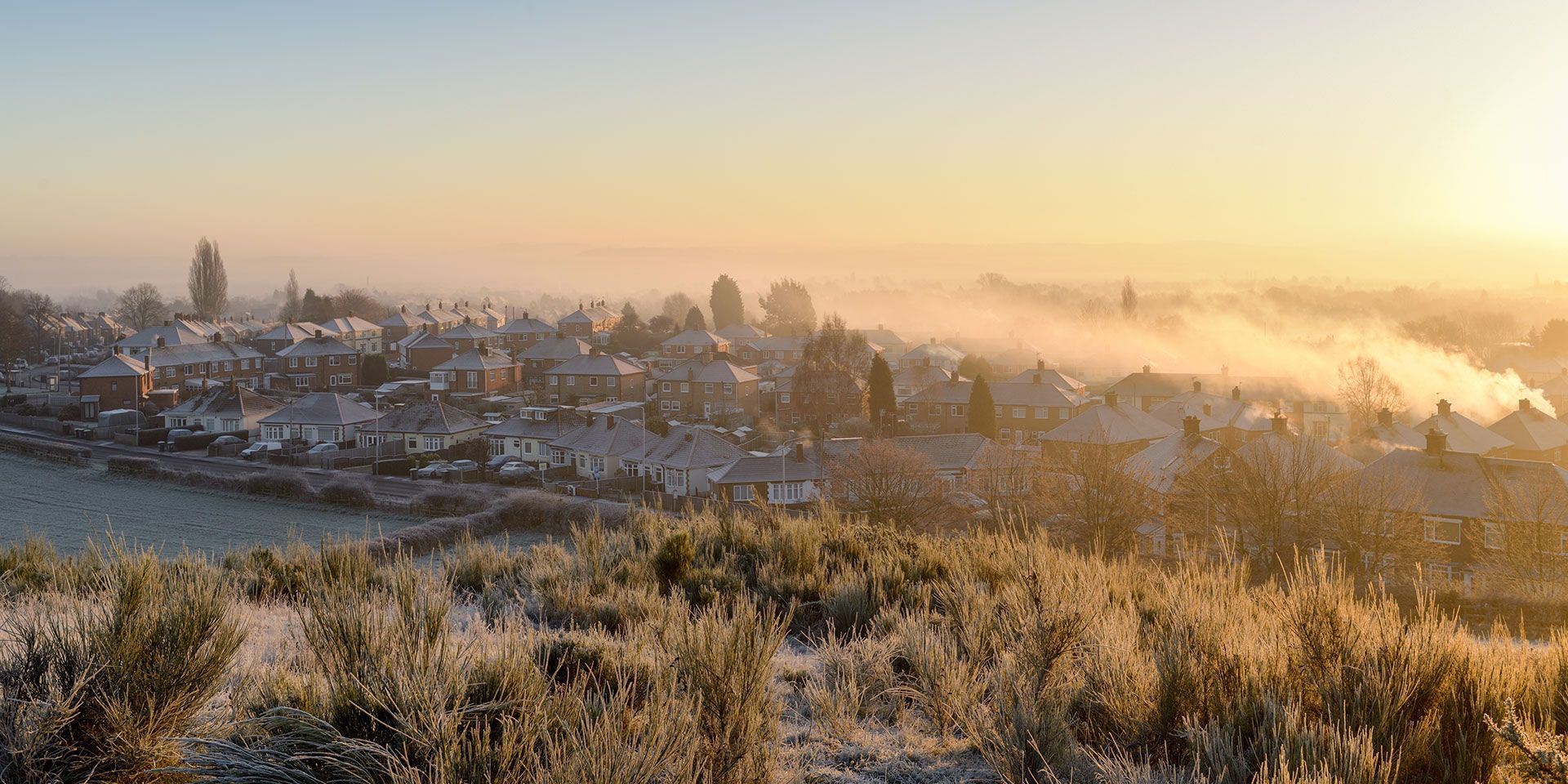
Scattered showers will continue near windward coasts on Thursday night, particularly in northern areas, where they may remain wintry over the hills. Elsewhere, long clear periods will allow temperatures to fall quickly, bringing a widespread sharp frost to inland areas.
The combination of low temperatures and potentially damp surfaces means some localised icy stretches may develop by Friday morning, especially where showers have fallen.
As it turns colder in the next few days, the height of the freezing level will drop close to sea level This means if any precipitation falls where this level is low, it will may fall as snow and accumulate on high ground This is pretty typical for November https://t.co/SdXhmxl2Nw
— Met Office (@metoffice) November 11, 2026
What’s the outlook for Friday?
Friday will bring thicker cloud and some showery rain across parts of Scotland, with wintry conditions possible over high ground. A few showers may also affect eastern and western coasts exposed to the northerly breeze.
For most other areas, it will be mainly dry with widespread clear or sunny spells. Winds will be light to moderate inland but remain fresh or strong around northern and eastern coasts.
Temperatures will again be rather cold or cold for many, with frost possible early and late in the day. The far north and northwest will be the exception, where temperatures are expected to remain closer to the seasonal average.
Met Office presenter and meteorologist, Alex Burkill, said: “For many it will be a crisp, dry and bright day with plenty of sunshine, although showers will affect Northern Ireland, eastern England and northern and central Scotland. Some will turn wintry, bringing a mixture of rain, sleet, snow over higher ground and perhaps some hail.
“Temperatures will generally stay in single figures and, when combined with the brisk northerly wind, it will feel particularly cold. Clear skies overnight will allow temperatures to fall sharply, potentially reaching -7 or -8°C in prone rural spots. For many, it’s likely to be the coldest night of the season so far, with a widespread frost by tomorrow morning.
“Tomorrow brings another crisp and bright start, with showers becoming more focused in the north and west. Temperatures will remain on the low side as cold air becomes trapped beneath high pressure, which is expected to remain across the UK into the weekend.”
READ MORE:
Deep Dive: From fog to frost - Is the polar vortex responsible?
November weather records: the UK’s warmest, coldest, wettest and windiest extremes
“Big freeze”? “Snow flurries”? Weather headline review
Met Office completes world-first cloud supercomputing transformation
Keep up to date with weather warnings, and you can find the latest forecast on our website, on YouTube, by following us on X and Facebook, as well as on our mobile app which is available for iPhone from the App store and for Android from the Google Play store.