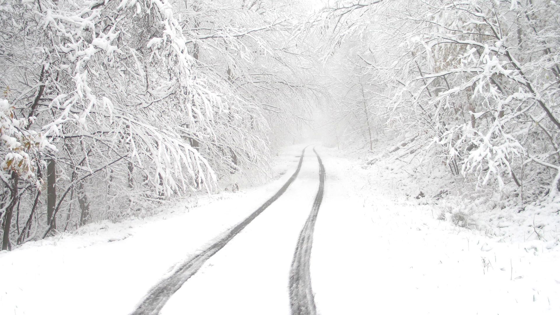
With November underway, some weather headlines have turned their attention towards snow, freezing temperatures and the prospect of a widespread cold spell.
But what does the forecast for the coming week actually show? While there will be some chilly conditions, overnight frost and fog in places, the overall picture is much less dramatic. Temperatures are expected to remain broadly around average for the time of year, with cloud, rain and showers featuring prominently over the coming days.
UK weather maps go white in -3C big freeze - 12 coldest areas
Despite references to a “big freeze”, the forecast does not currently indicate a widespread or particularly significant cold spell.
Thursday night will be mostly cloudy, with the clearest skies most likely across sheltered north-western Scotland and parts of Northern Ireland. These are also the areas with the greatest chance of patchy frost and fog.
Temperatures more generally will be around average, and some areas exposed to an onshore breeze could actually be rather mild.
Met Office forecasts 'wintry showers' for UK as 'colder weather spreads'
There will be showers across northern parts of the UK on Thursday night, especially in locations exposed to the easterly wind. However, the forecast provided does not point towards a widespread outbreak of wintry weather.
Friday brings another largely cloudy day, with many places staying dry. Some rain or drizzle is possible, particularly over higher ground in the north, while outbreaks of rain are likely to move north-westwards across parts of England and Wales.
In the southwest, showers could be heavy at times, particularly around the coasts, with an isolated thunderstorm possible. Temperatures will remain close to the seasonal average.
UK weather: Chilly Bonfire Night, with fog and showers into the weekend
This headline is broadly consistent with the forecast, with fog and showers both potentially featuring through the next few days.
Into Friday night, rain and drizzle will move north-westwards across England and Wales towards Northern Ireland and Scotland. Heavy showers are also possible around English Channel and Irish Sea coasts.
Where skies clear for long enough, some localised frost and patches of fog could develop, perhaps becoming more widespread across southern areas towards dawn.
UK weather maps turn purple as snow blankets 31 counties in -4C freeze - full list
There is little within the forecast to support the idea of widespread snow blanketing large parts of the country.
Instead, Saturday and Sunday are expected to bring variable amounts of cloud and generally light winds. Overnight, extensive low cloud, fog and some frost could develop, while a few light showers remain possible around the coasts.
Daytime temperatures should generally be near normal for November, although places where fog and low cloud linger could feel colder, particularly across central and southern areas.
UK weather maps show Yorkshire and 55 other counties could face snow flurries
Again, widespread snow is not a feature of the forecast provided.
Monday is expected to be similar to Sunday, although there is a greater chance of brighter spells developing across central and northern areas. Further south, cloud is expected to thicken, with rain, potentially heavy at times, arriving from the southwest later in the day alongside a strengthening easterly breeze.
By Tuesday, brighter spells remain possible in the north, along with a few coastal showers and areas of fog. The extent and intensity of rain across central and southern Britain remains uncertain at this stage.
Rather than a widespread freeze, temperatures are expected to remain close to average in the north and potentially turn milder across southern and perhaps central areas.
What does the forecast actually say?
Overall, the forecast is much more characteristic of an unsettled and occasionally murky November period than a significant early-season freeze. Frost and fog are possible where skies clear overnight, but there is currently little support in this forecast for widespread disruptive snow or exceptionally cold conditions.
READ MORE:
Can El Niño disrupt the polar vortex?
10-day trend: A change on the way as high-pressure retreats?
Met Office completes world-first cloud supercomputing transformation
October 2026 weather stats: A regional breakdown
Why the UK sees fewer warnings for fog than wind or rain
Keep up to date with weather warnings, and you can find the latest forecast on our website, on YouTube, by following us on X and Facebook, as well as on our mobile app which is available for iPhone from the App store and for Android from the Google Play store.