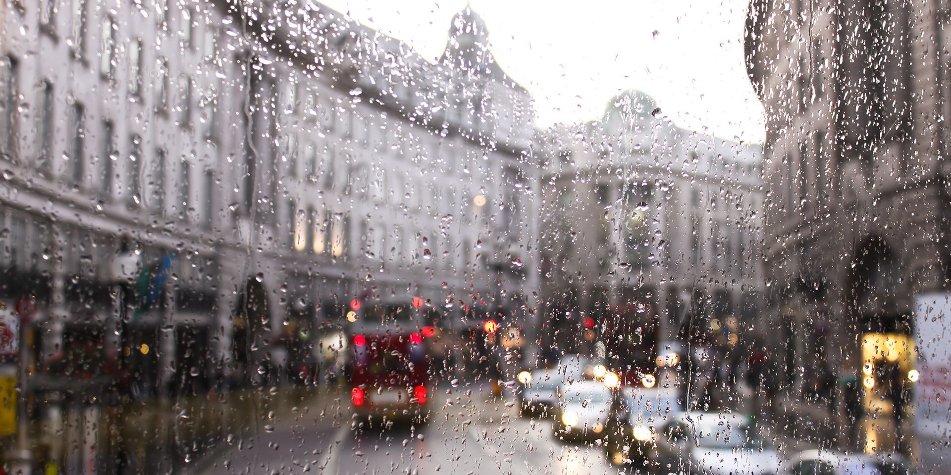
Met Office weather: Rain and blustery showers followed by a brighter Friday
A changeable couple of days is forecast across the UK.
Thursday will begin with rain clearing north-eastwards across the Northern Isles. At the other end of the country, the far south of England is likely to start cloudy, with the possibility of cloud lingering throughout the day along parts of the south coast. Some drizzly showers are also possible here, though there is only a low chance of anything heavier.
Elsewhere, many places will enjoy a largely dry and bright spell, with sunny intervals and only a few showers. It will feel very warm and humid in sunnier parts of southern and southeastern England, while temperatures farther north will be nearer the seasonal average.
Conditions will become more unsettled from the northwest later in the day. Organised bands of blustery showers are expected to arrive across northern and northwestern Scotland, bringing a risk of thunderstorms. Thicker cloud and moderate to heavy rain will also spread east or south-eastwards across Northern Ireland, southern Scotland and northern England.
A warm, humid feel continues today, with plenty of cloud and rain around 🌦️
— Met Office (@metoffice) September 2, 2026
It stays muggy tonight before a fresher, breezier feel develops into Friday; a noticeable change in the air as cooler conditions move in ⤵️ pic.twitter.com/zUDvSCNSuW
Clear intervals and blustery showers will continue in the northwest during Thursday night. Meanwhile, a band of rain across central parts of the UK is expected to become heavier.
Southern areas will remain cloudy, warm and humid, with some light rain or drizzle developing in places, particularly towards the west.
Outlook for Friday
Friday will begin with showery outbreaks of rain affecting southern areas. These will gradually clear away from the south of the UK during the afternoon, allowing increasingly dry and bright conditions to develop across many places.
Northern parts of the UK will retain a more unsettled theme, with blustery showers continuing. The heaviest showers are expected across western Scotland. It will remain breezy more widely, with strong winds affecting parts of the north.
Temperatures will generally be around average for early September. However, it will feel cooler where northern areas experience blustery showers and strong winds. Farther south, brighter spells should allow it to feel rather warm during the afternoon.
Met Office presenter and meteorologist, Aidan McGivern, said: “A wet start to Thursday is expected across Shetland and Orkney, while other areas begin the day cloudy with some patchy drizzle. However, conditions will brighten through the morning, with many places enjoying a few hours of sunshine. The best of the sunshine is likely across southern parts of the UK during the afternoon, where temperatures could reach 27°C or 28°C, making it feel very warm once again.
READ MORE: When does Autumn start?
“Further north, showers will affect parts of northern Scotland. Meanwhile, Northern Ireland, southern and central Scotland, and northwest England will see another spell of wet weather develop, with some heavy and persistent rain.
“The rain will continue through the evening and overnight, spreading more widely across Scotland, northern England and into north Wales. Some particularly heavy rain is possible across north Wales and northwest England.
“Further south, conditions should remain largely dry. Once the rain clears on Friday, there will be some additional showers for a time before higher pressure begins to build, bringing a more settled spell for a couple of days over the weekend.”
Keep up to date with weather warnings, and you can find the latest forecast on our website, on YouTube, by following us on X and Facebook, as well as on our mobile app which is available for iPhone from the App store and for Android from the Google Play store.