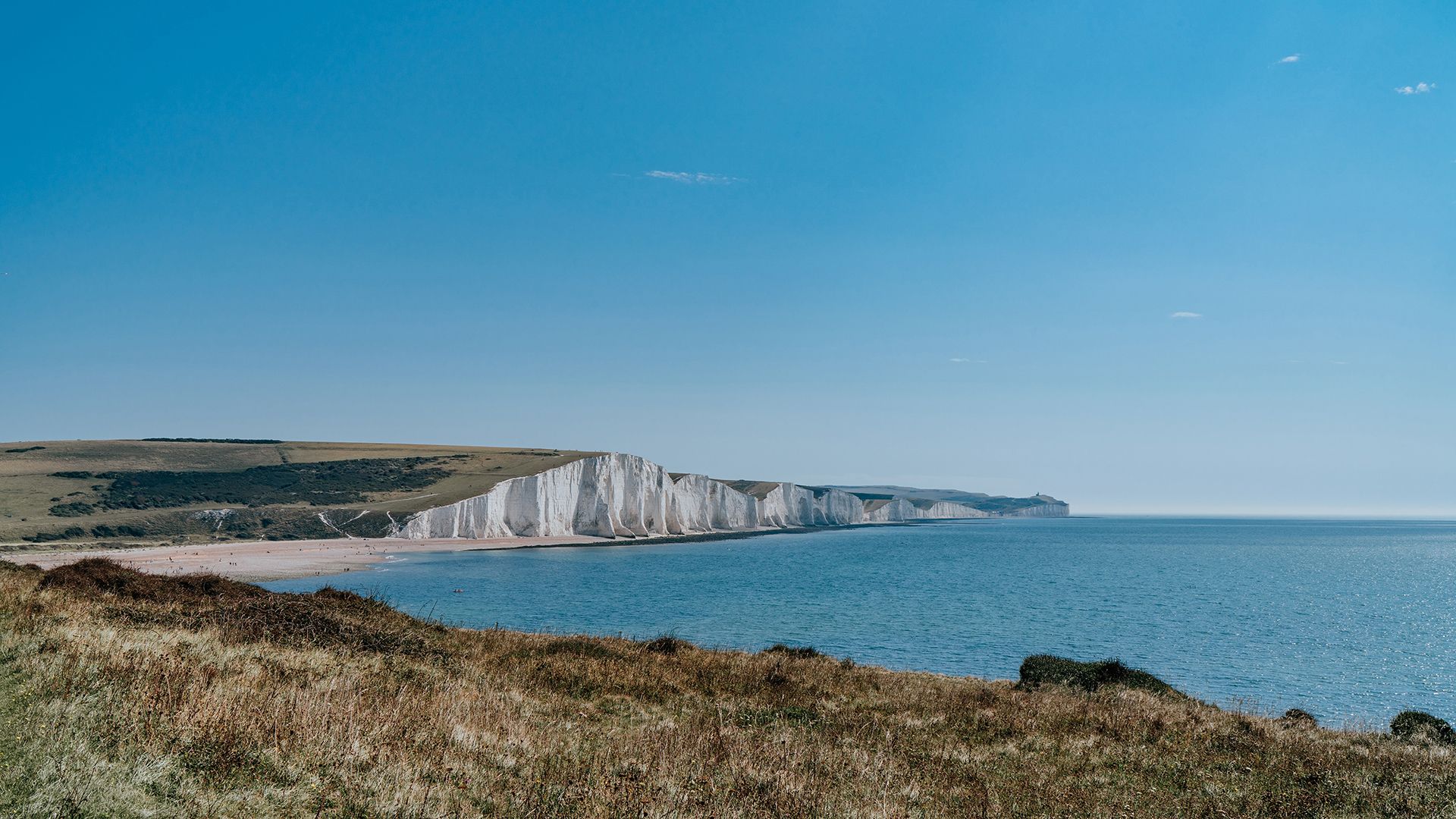
Warm and sunny weather continues
The weather will continue to warm up over the next few days, with bright and sunny conditions for many.
High pressure is set to dominate, with temperatures continuing to rise. Highs of 25°C are possible tomorrow (Friday) and could reach up to 26°C in the south on Saturday and Sunday.
Although the majority of the UK will enjoy this fine weather, showers more unsettled conditions are likely in the far north and northwest.
Warm, sunny and dry for many over the next few days, with temperatures above average for the time of year 🌡️
— Met Office (@metoffice) May 9, 2024
A thundery breakdown on Sunday 🌩️
And a return to cooler temperatures by Monday 📉 pic.twitter.com/pCI767cOmA
UV levels
The warm weather brings an increase in UV levels, and over the next few days, they are expected to reach moderate to high levels across the UK. It is important that, if you are in an area that is particularly sunny over the next few days, you take steps to ensure that you and your family are protected from these increased UV levels.
Read more about UV and sun health
UV levels are moderate to high over the next few days, so make sure you stay protected whilst out enjoying the sun 🌞
— Met Office (@metoffice) May 9, 2024
Pollen levels are moderate for many too 🤧
Check out pollen level where you are here ⤵️https://t.co/nKKN4ObJH8 pic.twitter.com/pEszaKe0g4
Pollen levels
Pollen levels also increase as the temperature rises, with medium to high levels over the next five day. Our pollen forecastprovides a look at the pollen amounts and types in the air for the next five days.
You can get pollen and UV forecasts for UK and worldwide locations via the Met Office app.
- For iPhone the app is available from the App store.
- For Android the app is available from the Google Play store.
Turning unsettled into next week
Weather conditions are expected to return to a more unsettled pattern as we head into the new working week. Rain and showers will start to move in from the west, due to a developing low pressure system from the Atlantic.
Deputy Chief Meteorologist Tony Wisson said: “Many places will start fine and warm on Sunday, though it is likely to become cloudier from the west or southwest during the day. This will be accompanied by scattered showers, which could be heavy with thunder.
“On Monday we're likely to see more widespread and longer-lived spells of rain, some of which will be heavy and thundery. This will also lead to a much cooler feel to the day.”
You can find the latest forecast on our website, on YouTube by following us, on Twitter and Facebook, as well as on our mobile app which is available for iPhone from the App store and for Android from the Google Play store.