Yellow Warnings for fog and rain as unsettled weather continues
Low-pressure systems will bring further unsettled weather to the UK this week, with fog and heavy rain on the horizon.
Many areas will see a dry day with plenty of sunshine on Tuesday. Southeast England will remain cloudier with occasional patchy rain, while northwest Scotland could see a few showers. Following recent heavy rain ground conditions remain saturated in many western areas, with numerous flood alerts still active across England and Wales.
It will feel chillier than of late with widespread clear skies overnight. Overnight, fog and frost patches will develop widely as skies clear for many. However, cloud and rain will return to western areas during the early hours.
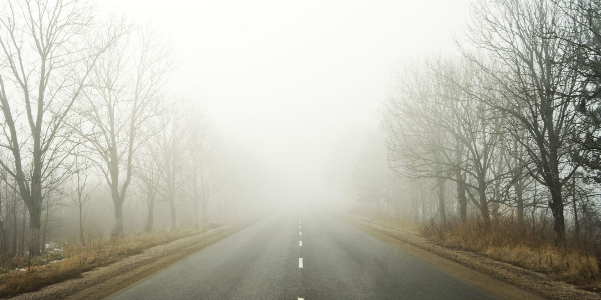
The fog may be slow to clear on Wednesday morning, prompting a Yellow Warning for fog from 00:00 until 10:00 for a large part of central and northern England. Dense fog patches could lead to difficult travel conditions, particularly across the East Midlands and Cambridgeshire.
Wednesday to bring heavy rain
Outbreaks of heavy rain and brisk winds will move eastwards through the day on Wednesday, with southeast England staying dry until after dark.
A Yellow Warning for rain is in place from 10:00 until 23:59 on Wednesday for southwest England and south Wales. Heavy rain, especially over high ground, may cause travel disruption and flooding. 10 to 20 mm of rain is likely widely, with 40 to 60 mm possible over Dartmoor and the hills of south Wales.
Neil Armstrong, Chief Forecaster at the Met Office, said: “We’re set to see an unsettled week as low-pressure systems push fronts across the UK. With recent heavy rain, further wet conditions will increase the risk of flooding. With that in mind, it’s important to stay up to date with the latest Met Office forecast and warnings and remember to never drive through flood water.”
Heavy rain in the North-West could cause surface water flooding this weekend.
— Environment Agency (@EnvAgency) December 14, 2025
✅ Get flood warnings
✅ Plan journeys ahead
✅ Never drive or walk through flood water
Stay safe and be prepared: https://t.co/XnuRoykfec pic.twitter.com/QaXo7e5G6S
Further unsettled weather for Thursday
Heavy rain is set to move northeast across much of the country on Thursday, with a further Yellow Warning for rain in place across southwest England and south Wales through the day.
A separate Yellow Warning for rain is in place for southern counties of England, between the hours of 00:00 and 21:00. Within this warning area 15-25 mm of rain is possible widely, with 40-60 mm possible over the Downs. Strong winds are expected too, gusting over 50 mph in exposed coastal areas, which may exacerbate impacts.
Driving in Flood Conditions
If the road is flooded, turn around and find another route. The leading cause of death during flooding is driving through flood water. Just 30 cm of moving water can float a car, and flood water often hides hazards that can damage vehicles. Even a small amount of water entering an engine can cause severe damage.
Friday and the weekend
Neil Armstrong continues: “Friday will bring frequent blustery showers, typical for the time of year, with a brief calmer spell before another low-pressure system arrives. This could bring further heavy rain and unsettled conditions into the weekend, so we’ll be monitoring closely. Keep checking the Met Office forecast for the latest.”
The Christmas week forecast
High pressure is expected to build into next week, bringing drier and less mild conditions for the Christmas period. Overnight frosts, mist and fog are likely, but significant cold weather looks less probable. It is too early to confirm whether there will be snow on Christmas Day, so keep an eye on the Met Office forecast.
Keep up to date with the latest forecast for your area using our forecast pages. You can also follow us on Twitter and Facebook. Use our mobile app which is available for iPhone from the App store and for Android from the Google Play store.