The recent spell of cooler and more unsettled weather marks a notable change from one of the most remarkable summers the UK has experienced in recent years.
After repeated heatwaves, exceptionally high temperatures and prolonged dry weather, attention is now turning to a pressing question: can the rain arriving this week make any meaningful difference to the drought conditions affecting many parts of England and Wales?
The short answer is that rain is on the way. The longer answer is more complicated.
Looking back at two extraordinary heatwaves
Summer 2026 has been characterised by two particularly significant heatwaves, one in late June and another in mid-August. Both saw temperatures reach or exceed 38°C, making them exceptional events by UK standards. The June heatwave delivered the earliest 38°C on record, while the August heatwave saw temperatures once again reach 38°C, underlining the exceptional and sustained nature of the summer.
Despite producing similar maximum temperatures, the two heatwaves developed under slightly different conditions. In both cases, high pressure positioned to the east of the UK encouraged sinking air, allowing temperatures to rise through compression and strong sunshine.
However, there were important differences in the source of the air masses involved and, crucially, in humidity levels. The June heatwave drew warmer air from lower latitudes near Iberia, while the August heatwave was influenced by air originating much further north, including areas close to Iceland and even the Arctic region.
Have you got your fingers crossed for some rain?
— Met Office (@metoffice) August 18, 2026
There's a good chance that many will during the next few days. Pressure is lowering with heavy showers becoming more likely, but rainfall amounts will be highly variable and some places may not see much 🌦️ pic.twitter.com/nH00BZbd9Y
Why the impacts were different
Humidity played a key role in determining how the two heatwaves felt and the impacts they produced.
In June, the ground remained relatively moist following earlier spells of wet weather and thunderstorms. This increased humidity and made conditions more oppressive, particularly overnight when temperatures remained elevated. The combination of extreme daytime heat and warm nights contributed to significant health impacts.
By contrast, the August heatwave occurred after weeks of exceptionally dry weather. Humidity levels were much lower, allowing temperatures to fall away more readily overnight and reducing some of the health risks associated with prolonged hot conditions.
However, the dry conditions created a different hazard. Extremely dry vegetation and soils contributed to a heightened wildfire risk, leading to significant fire incidents in several locations.
A summer likely to enter the record books
The heat experienced this summer has been exceptional not only because of the highest temperatures recorded, but also because of their frequency and geographical extent.
The August heatwave ranked among the most widespread hot spells on record when measured by the proportion of observing stations reaching 36°C or higher. Only a handful of historical events have affected a larger area of the UK.
Beyond individual heatwaves, numerous temperature thresholds have been reached more often than in previous years. The summer has already delivered an exceptional number of days above 30°C, 32°C and 35°C.
Current figures suggest that 2026 remains on course to become one of the warmest UK summers on record, with many regions currently running above previous seasonal benchmarks.
How dry has it become?
While the heat has dominated headlines, the lack of rainfall has arguably become an even bigger story.
Since mid-June, many areas of England and Wales have seen very little rainfall. Some locations have recorded almost two months of consecutive dry days. Parts of England and Wales have received around 150mm less rainfall than average since April, with some locations experiencing even larger shortages.
The situation has been made worse by above-average sunshine and consistently high temperatures. Strong sunshine increases evaporation, which means soils lose moisture more rapidly and require even greater amounts of rainfall to recover.
Rainfall patterns have also varied considerably across the UK. While parts of western and northern Scotland have experienced near-average or above-average rainfall, much of central, southern and eastern England has remained exceptionally dry.
READ MORE: “September heatwave?” “Cold snap?”: Met Office weather headline review
Will this week’s rain help?
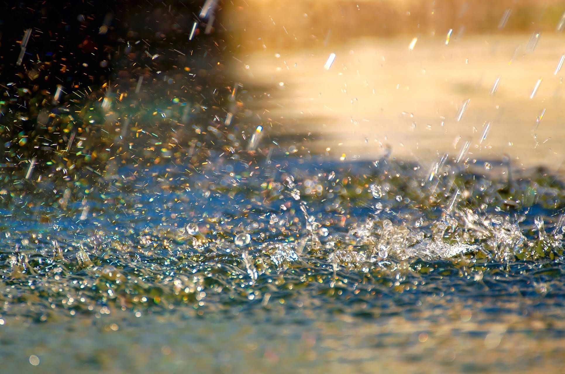
The arrival of low pressure this week will bring a more unsettled pattern, with rain and showers affecting many parts of the UK.
A band of rain moving southwards provides the first opportunity for more widespread rainfall across areas that have missed out for much of the summer. However, rainfall amounts are generally expected to be modest, with much of the rain light to moderate in intensity.
Further into the week, showers become more frequent and locally heavy. Wednesday brings repeated downpours to parts of western Scotland and Northern Ireland, while Thursday may see some more substantial showers develop across northern England, Wales and later southern Britain.
Some locations could receive significant rainfall totals, however, because much of the rain will fall in a showery pattern, totals are likely to be highly variable over short distances.
This is important because drought relief is usually most effective when rainfall arrives as prolonged, steady spells rather than scattered showers.
Looking beyond this week
By the weekend, high pressure is expected to begin building in from the north, bringing a gradual reduction in shower activity and increasing amounts of dry weather. Temperatures will remain noticeably cooler than during recent heatwaves.
However, longer-range forecast guidance increasingly suggests that the pattern may become more unsettled again towards the end of August and into early September. There are growing signals for low pressure to remain close to the UK, bringing more frequent weather fronts, stronger winds and increased opportunities for widespread rainfall.
The bigger picture
The rain expected this week will be welcome for many areas and may provide some local relief from the exceptionally dry conditions that have developed over the summer. However, it is unlikely to erase months of rainfall deficits in just a few days.
What England and Wales need is not simply a few heavy showers, but a sustained period of wetter weather extending well into autumn. There are encouraging signs that the weather pattern may be beginning to shift in that direction, but for now, the rainfall arriving this week should be viewed as a start rather than a solution.
https://www.youtube.com/watch/fhwSKHxZwRQ?start=0Keep up to date with weather warnings, and you can find the latest forecast on our website, on YouTube, by following us on X and Facebook, as well as on our mobile app which is available for iPhone from the App store and for Android from the Google Play store.