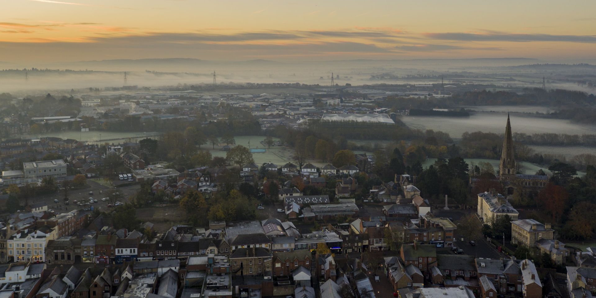
As we have moved into meteorological autumn, many are asking what the coming months might have in store for UK weather.
Alongside increased interest in what is likely to be a record-breaking El Niño event in the tropical Pacific, the latest Met Office seasonal outlook suggests an increased likelihood of wetter than average conditions during autumn.
While seasonal forecasting cannot predict exactly what the weather will do on any given day, current evidence suggests conditions later this autumn and into early winter may be more unsettled than is typical for the time of year.
What does the three-month outlook tell us?
The latest Met Office 3-Month Outlook indicates the chances of a warm and wet autumn for the UK are around one-and-a-half to two times higher than would normally be expected. An increased likelihood of windy conditions also emerges later in the season.
The Met Office 3-Month Outlook provides guidance on how likely conditions are to differ from what would normally be expected for the season, rather than predicting specific weather events. Seasonal outlooks are designed to indicate changes in risk at a national scale rather than predict exactly when or where periods of wet, windy or stormy weather may occur.
It is important to stress that seasonal outlooks cannot predict exactly when or where periods of wet, windy or stormy weather will occur, nor do they forecast the number of storms, wet days or severe weather events that may develop. This remains an emerging and cutting-edge area of science and, while forecasting skill is continually improving, seasonal outlooks allow us to understand changes in risk and likelihood rather than provide certainty months in advance. As confidence in the seasonal outlook evolves, the Met Office will continue to assess and communicate any emerging risks with partners and the public.
What is El Niño?
El Niño is a natural climate phenomenon that occurs when sea-surface temperatures in parts of the tropical Pacific become warmer than average. Earlier this year, forecasts from the Met Office and other leading global weather modelling centres indicated that one of the strongest El Niño events on record would develop during the northern hemisphere summer and autumn. These forecasts have been borne out, with the current El Niño already at near-record levels, with potential to grow further before its anticipated peak this winter.
Although El Niño develops in the tropical Pacific, it can affect weather patterns in Europe through global-scale atmospheric connections. Historically, El Niño events have tended to be associated with warmer, wetter and stormier conditions across the UK and northern Europe during late autumn and early winter which is broadly consistent with the latest seasonal outlook. However, El Niño is just one of several climate drivers that can influence the UK's weather and so does not determine exactly what conditions we are likely to experience.
An increased likelihood of wetter and windier than normal conditions does come with an increased risk of associated impacts such as flooding although pinning down where these are most likely to be is not possible at this range.
Met Office Chief Meteorologist, Ian Lisk, said: "The latest seasonal forecasts suggest an increased likelihood of wetter than average conditions as we move through autumn, which would be consistent with the historical influence of El Niño events.
“However, El Niño is only one of several factors affecting the UK's weather and it does not determine exactly what conditions we will experience. While this event may become one of the strongest El Niño events on record, that does not automatically mean more severe impacts for the UK.
“We will continue to monitor developments closely and update our forecasts as confidence in the outlook evolves.”
What does the latest long-range (30-day) forecast show?
The latest Met Office long-range forecast suggests a generally changeable pattern through the remainder of September and into early October, there will also be spells of drier and more settled weather, especially in the south. Towards the end of September, high pressure may become more influential, bringing a greater chance of settled conditions for a time. Temperatures are expected to be close to average overall through the remainder of September, with some rather warm days possible, before becoming slightly above average into early October.
At longer lead times, confidence inevitably decreases. As day-to-day weather variations become increasingly less predictable, forecasts focus on broader trends rather than specifics. This is why long-range outlooks describe potential patterns and probabilities for a month or three-month period rather than exact conditions for a particular day or location.
What does this mean for the UK autumn?
The developing El Niño is expected to continue strengthening through autumn before reaching its peak during winter, and the Met Office will continue to monitor how it interacts with other climate drivers over the coming weeks and months.
Current evidence indicates an increased likelihood of wet, windy and potentially stormy conditions later this autumn and into early winter. This signal is reflected not only in our understanding of El Niño, but also in seasonal prediction models and other large-scale climate drivers.
However, while seasonal forecasts can identify shifts in the likelihood of particular weather patterns, they cannot determine exactly when or where individual weather events will occur. This means we can assess the chances of a wetter, windier autumn and early winter overall, but it remains too early to identify any specific impacts for particular parts of the UK.