The UK’s climate is famously variable, with cold snaps and wintry hazards shaping our weather stories year after year.
The UK’s climate is famously variable, with cold snaps and wintry hazards shaping our weather stories year after year. From record-breaking snowfalls to the sharpest frosts and the coldest nights on record, the nation’s weather history is rich with remarkable cold weather events.
Here, we explore some of the most significant cold weather events, drawing on Met Office records.
Early and late snow: The bookends of winter
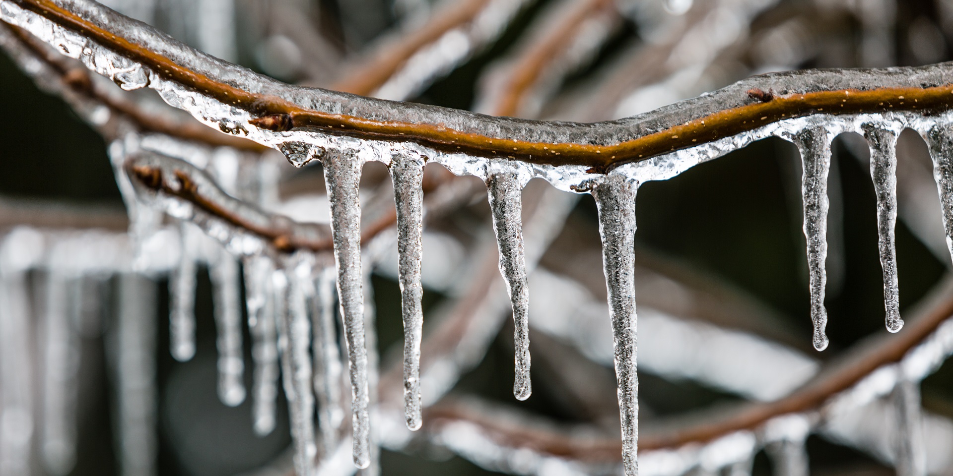
Snowfall is one of the most iconic features of the UK’s winter. The earliest and latest snowfall records, back to 1960, provide a fascinating insight into the variability of our climate. These records are based upon the earliest reports of snow falling at a Met Office weather station, not necessarily settling.
- Earliest snowfalls
Recent years have seen snow reported as early as mid-November across parts of Scotland, northern England, and Northern Ireland. The UK record for earliest snowfall occurred on 21 September in 1979 at Inverness-shire, Banffshire, Roxburghshire, and Lanarkshire. These early snowfalls mark the swift arrival of winter conditions.
- Latest snowfall
At the other end of the season, snow can linger well into spring. The record for the latest snowfall in the UK took place on 19 June, 1964 in Banffshire. However, even in recent years, late snowfalls have been observed in several regions. For example, in 2024, Durham, Orkney, Ross and Cromarty saw snowfall as late as 25 April. These events highlight the persistence of cold air masses and the potential for wintry hazards deep into the year.
Snow days: How often does the UK see snow?
The number of days with snow each year is a key indicator of the severity of winter. The data shows considerable year-to-year variation, but some trends stand out.
Recent snow day counts
- In 2023, the UK recorded 77 days with snow, while 2024 saw 62 days.
- Scotland typically sees the highest number of snow days, with sites like Braemar in Aberdeenshire recording over 1,400 snow days since 1960, more than 20% of all days observed.
- England, Wales, and Northern Ireland see fewer snow days, but even here, years with over 100 snow days are not uncommon.
READ MORE: Week ahead forecast: Arctic chill brings wintry hazards
The highest number of snow days in a single year since 1960 was 197 in 1979, a year remembered for its severe winter conditions. More recently, 2018 and 2021 both saw over 110 days with snow, reflecting the impact of cold spells such as the “Beast from the East”.
Air frost: The silent hazard
Air frost, when the temperature drops below freezing at 1.25 metres above the ground, is a frequent winter hazard across the UK. The number of air frost days each year provides a measure of how persistent cold conditions have been.
Recent air frost records:
- In 2025, the UK has experienced 130 days with air frost, with January seeing frost every day.
- England has, so far, recorded 115 air frost days in 2025, while Scotland has seen 119.
- The previous five years have seen totals ranging from 130 to nearly 200 air frost days annually, with 2020 standing out at 197 days.
Air frost is most common from November to March, but can occur as late as May and as early as September. The data shows that even in milder years, frost remains a persistent feature of the UK’s climate.
The coldest nights: Plunging temperatures across the UK
The UK has experienced some truly remarkable low temperatures, particularly during severe winter outbreaks.
UK’s coldest nights
- The lowest temperature ever recorded in the UK is -27.2°C, observed at Altnaharra (Sutherland) in December 1995, and Braemar (Aberdeenshire) in January 1982.
- England’s coldest night was -25.2°C at Shawbury (Shropshire) in December 1981.
- Wales recorded -23.3°C at Rhayader (Powys) in January 1940, while Northern Ireland’s record low is -18.7°C at Castlederg (Tyrone) in December 2010.
You can explore the records using our interactive graphic below by clicking on the data points.
Even in the 21st century, severe cold snaps have occurred. In February 2021, Braemar reached -23°C. These events underline the ongoing risk of extreme cold, especially in northern and upland areas. In 2025, sub-zero temperatures were recorded as late as 23 May, a reminder that cold weather can persist well into late spring.
You can explore the coldest temperature records of every year since 1900 by using our interactive graph below.
The UK’s cold weather records reveal a climate shaped by frequent and sometimes severe winter hazards. From early and late snowfalls to persistent air frost and record-breaking cold nights, these statistics highlight the need for ongoing vigilance and preparedness.
Keep up to date with weather warnings, and you can find the latest forecast on our website, on YouTube, by following us on X and Facebook, as well as on our mobile app which is available for iPhone from the App store and for Android from the Google Play store.