The UK is set for a markedly colder spell this week, as Arctic air sweeps southwards, bringing a mix of wintry hazards, sharp frosts, and unsettled weather.
Here’s a look at what to expect in the coming days.
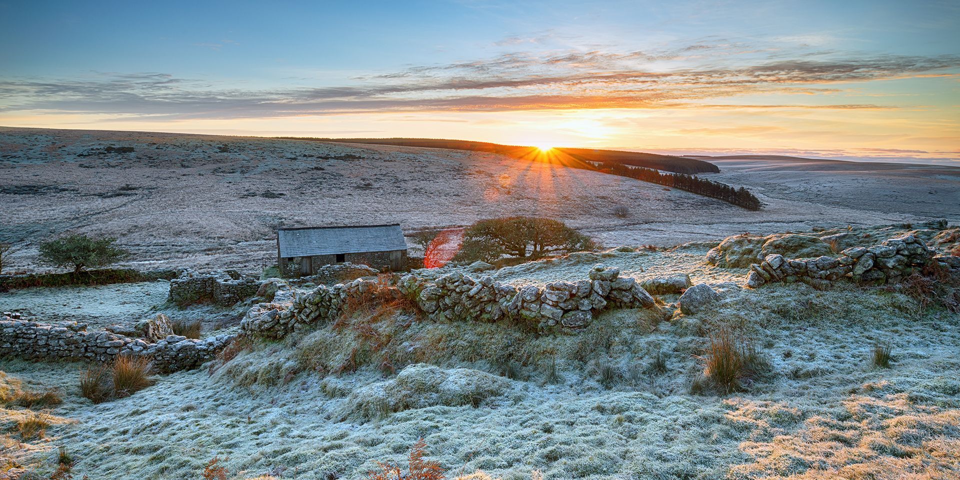
Arctic air takes hold
A real chill has settled across the country, with air originating near Siberia and crossing the Arctic before reaching the UK. This has resulted in very cold conditions, with temperatures several degrees below average for mid-November, especially in the north. The cold air is not only persistent but is also interacting with weather fronts, leading to a variety of wintry weather types.
Tuesday: Wet weather and wintry outbreaks
As we move through Tuesday, a weather front will push south-eastwards, bringing wet weather to much of Scotland. Showery bursts of rain are expected across parts of Northern Ireland, with rain also spreading into northern and western areas of England and Wales. With cold air firmly in place, some of this precipitation will fall as sleet and snow, particularly over higher ground.
In northern England, wintry weather will mostly be confined to the highest ground. Across Scotland, however, snow could fall to slightly lower levels, with wet snow possible above 150 metres and accumulations of 5 to 10 centimetres above 400 metres. Even away from the hills, icy patches are likely, making for slippery and potentially hazardous conditions.
A number of weather warnings are currently in place. Yellow ice warnings across much of Scotland and northern England on Tuesday. These highlight the risk of slippery surfaces and difficult driving conditions due to icy stretches. Snow warnings are also in effect for much of northern Scotland on Tuesday, with the potential for 5 to 10 centimetres above 400 metres.
Midweek: Brisk winds and further wintry showers
A brisk northerly wind will develop as the week progresses, reinforcing the cold and driving further showery bursts of rain, sleet, and snow. Northern Scotland and the eastern side of England and Scotland will see the bulk of these showers, with the immediate coasts likely to see rain but sleet or snow possible just a short distance inland, especially over modest high ground.
Western areas, including parts of Northern Ireland and Wales, may also see some wintry showers, with the possibility of sleet and snow over higher ground. Central inland areas are likely to stay mostly dry, with the best of the sunshine towards the west, but it will feel cold everywhere. Temperatures will be a couple of degrees down compared to Tuesday, and even across the south, it will turn colder than average for the time of year.
Further snow and ice warnings cover much of Scotland, northern England, the midlands and the southwest through Wednesday and Thursday, with 15 to 20 centimetres possible above 300 metres. These warnings are likely to be updated as the week progresses, so it is important to stay up to date with the latest advice.
READ MORE: Why tackling disinformation matters more than ever at the Met Office
Snow accumulations and disruption risk
As the cold air persists, snow will continue to build up in some areas. The northern half of Scotland could see 15 to 20 centimetres of snow over the highest ground, while the eastern side of northern England, including the North York Moors, may also see significant snow showers and accumulations. These conditions could lead to travel disruption, particularly where snow and ice warnings are in force.
Frosty nights and a change from the west
Thursday night into Friday is expected to be particularly cold, with widespread harsh frosts. Rural spots, especially in Scotland, could see temperatures plunge into negative double figures. However, a change is on the horizon as a frontal system approaches from the west, bringing milder air and a spell of wet weather.
Friday will start cold and frosty but bright for many. Cloud and rain will spread in from the west, initially affecting Northern Ireland before moving into western Scotland, Wales, and England. The east will stay drier and brighter for a time, but rain will eventually reach these areas later in the day. As the rain meets the cold air, there may be some wintry precipitation, but not as much as earlier in the week. Temperatures will begin to rise from the west as the milder air takes hold.
Weekend outlook: Unsettled but milder
As we head into the weekend, the weather remains unsettled, with further spells of rain at times for many areas. The good news is that temperatures are set to rise, with the milder air from the west gradually replacing the Arctic chill. However, the risk of wintry weather will not disappear entirely, especially if rain bumps into lingering cold air.
Keep up to date with weather warnings, and you can find the latest forecast on our website, on YouTube, by following us on X and Facebook, as well as on our mobile app which is available for iPhone from the App store and for Android from the Google Play store.