As we approach the weekend, the UK is set for a notable shift in weather patterns.
The remnants of Storm Cloudia will gradually fade, opening the door to colder air and a mix of conditions across the country. Here’s what to expect, region by region, as the weekend unfolds.
Storm Cloudia weakens, colder air advances
The weekend begins with Storm Cloudia slowly losing its grip on the UK. This system, named by the Spanish Weather Service, has brought heavy rain to parts of western Europe and the UK, but by Saturday, will be fizzling out to the west.
As it weakens, the weather front associated with Cloudia marks the boundary between milder southern air and much colder air to the north. This transition will be felt across the country, with temperatures dropping and a brisk easterly wind making it feel even chillier, especially along North Sea coasts.
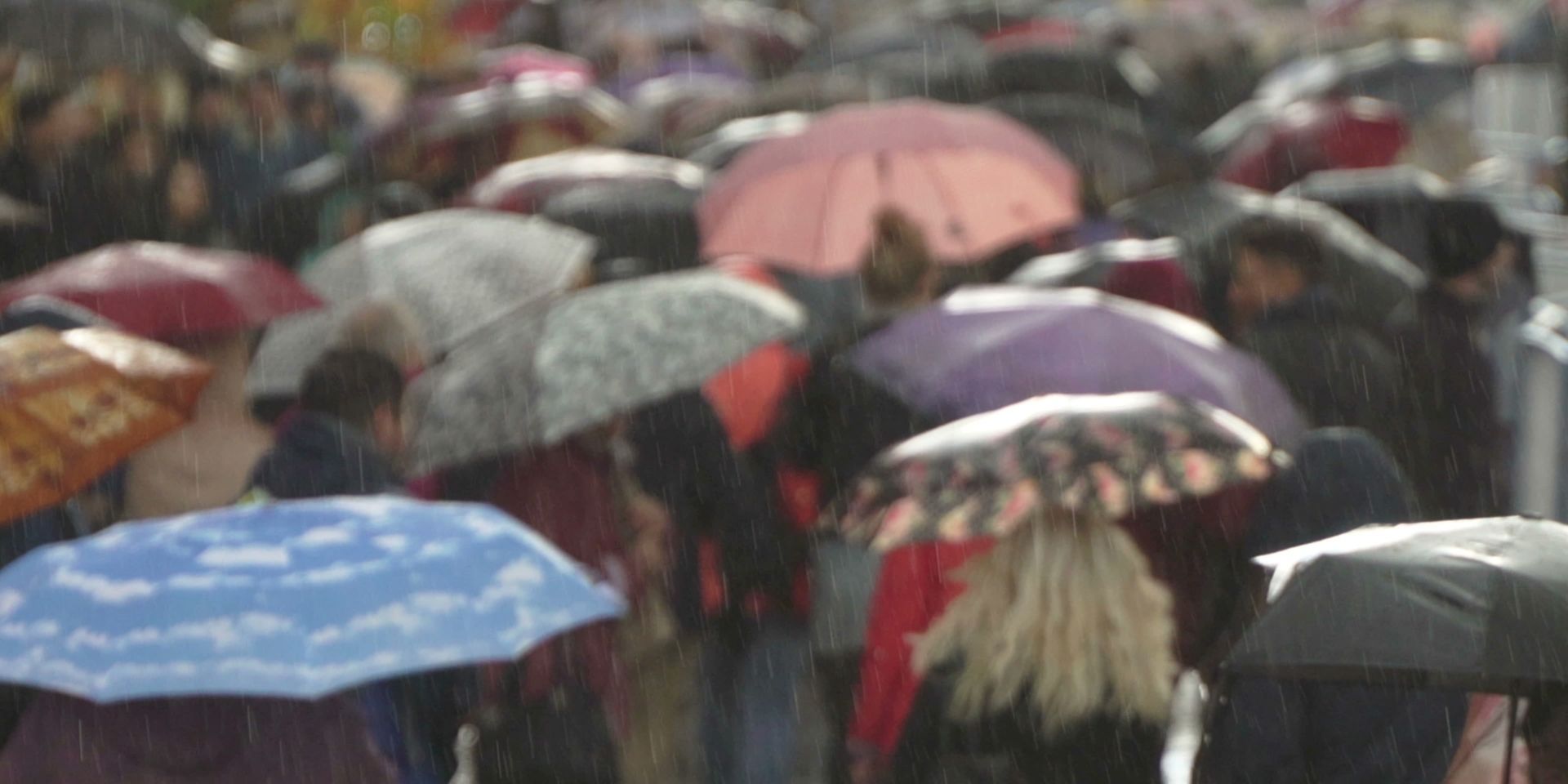
Amber and Yellow warnings have been issued in association with Storm Claudia
— Met Office (@metoffice) November 14, 2025
Disruption and flooding are likely
Stay #WeatherAware ⚠️ pic.twitter.com/tFqKQXIOiX
Saturday: A chilly start for many
Saturday morning will start cold across much of Scotland, with temperatures well down into single figures and a risk of frost in rural areas. Northern Ireland will also start on a chilly note, but both regions can expect a largely dry and bright day. Sunny spells are likely, especially in northern Scotland, and winds will be lighter than in recent days.
Further south, the weather front left behind by Storm Cloudia will continue to bring cloud and outbreaks of rain to parts of northern England, Wales, and Northern Ireland during Saturday. While the rain won’t be as heavy as on Friday, it will make for a cold, dank, and rather dismal day in places such as Yorkshire and Lincolnshire. The persistent easterly wind will add to the chill, particularly along exposed North Sea coasts.
In contrast, southern England will start Saturday with milder air, with temperatures possibly in double digits. There will be a brisk easterly wind, but it won’t be as strong as on Friday. Some brightness is likely, and temperatures could reach 13 or 14°C in the south. However, the mild air will be short-lived as colder conditions begin to spread southwards later in the day.
Weather warnings and unsettled conditions
Although the heaviest rain will have passed, weather warnings remain in place for some areas. For the latest updates, it’s advisable to check the Met Office app or website. The main focus for the weekend will be the transition from milder to colder air, with the weather front acting as a dividing line and bringing outbreaks of rain, cloud, and drizzle to central and eastern parts of the UK.
Sunday: drier, brighter, but colder for most
Sunday will see a gradual improvement for many, with the weather front weakening and moving away. Much of England and Wales will start the day cloudy, with some patchy rain and drizzle lingering over hills and mountains, particularly in Wales. This should fizzle out as the day goes on, giving way to brighter spells, especially in northern England and to the west of the Pennines. Temperatures will be a degree or so lower than on Saturday, and the brisk wind will make it feel fresh, especially along North Sea coasts.
READ MORE: Met Office 10-day trend: What to expect from Storm Claudia and beyond
Further north, another weather front will introduce more cloud and some showers to northern Scotland, with the possibility of these turning to snow over higher ground later in the day. However, for most of Scotland and Northern Ireland, Sunday will be largely dry with sunny spells and lighter winds. It will feel cold, but the sunshine should make conditions more pleasant, particularly in west Wales and Northern Ireland.
Temperatures: A marked drop for all
By Sunday, the colder air will have taken hold across the UK. In the south, temperatures may still reach double figures in places, but most areas will see highs of 9 or 10°C at best, with lower values in the north. The combination of wind, cloud, and occasional rain or drizzle will make it feel colder than the thermometer suggests, especially in exposed eastern areas.
As we move into the new week, the colder air looks set to persist, with the chance of further showers and even a little snow over high ground in the north. The weather will remain changeable, with periods of cloud, rain, and brighter spells. It’s a reminder that autumn is well and truly here, and winter is just around the corner.
Keep up to date with weather warnings, and you can find the latest forecast on our website, on YouTube, by following us on X and Facebook, as well as on our mobile app which is available for iPhone from the App store and for Android from the Google Play store.