If you’ve heard snow is on the way for the new year and you’re after a few more details, you’ve come to the right place.
In this article, we’ll explore what’s driving the change in weather, where snow is most likely to fall, how cold it will get, and how long the cold spell could last.
What’s changing to bring Arctic air?
Over the Christmas period, the UK has enjoyed a relatively settled spell of weather, albeit rather grey. This calm pattern followed a wet December and was thanks to a large area of high pressure positioned to the north and west of the UK. That high pressure brought sinking air, reducing precipitation and keeping conditions dry.
However, this blocked pattern is about to shift. The high pressure will sink further south, allowing cold air to topple in from the north. At the same time, a developing low pressure system to the north of the UK will slide eastwards, pushing us into a direct Arctic air mass. This northerly wind will drive the cold conditions we’ll experience as we move into the new year.
How long will the cold spell last?
The Arctic air is expected to arrive on New Year’s Eve and persist well into the first week of January. Friday, Saturday and Sunday look particularly cold, and the chill could linger until Tuesday or Wednesday next week. Beyond that, confidence decreases, but colder-than-average conditions are likely to continue into mid-January.
Why does Arctic air increase the snow risk?
Snow requires two key ingredients: precipitation and sufficiently cold air. As the Arctic air moves over the relatively warmer waters surrounding the UK, it becomes unstable, allowing showers to develop through convection. These showers will be most frequent in northern areas, particularly Scotland, where the cold air first arrives.
The wind direction will play a crucial role. While a direct northerly is most likely, slight shifts towards north-westerly or northeasterly will influence where snow showers occur. Northern Scotland will see the most significant snowfall, but snow is possible more widely, even to lower levels.
READ MORE: Weather records for New Year’s Eve and New Year’s Day across the UK
Additional features that could enhance snowfall
Three main factors could increase snow risk:
- Arctic lows – Extremely cold air moving over warmer seas can lead to small-scale low pressure systems, bringing more organised showers, particularly to eastern England and southeastern Scotland.
- Occlusions – Where milder Atlantic air meets the Arctic air, small waves can develop, producing more organised bands of precipitation. The first of these is likely on Friday, affecting Northern Ireland and Wales.
- Persistent showers – With the freezing level dropping, any showers will increasingly fall as snow and begin to settle.
Where will snow fall?
Initially, snow will be confined to higher ground, especially in Scotland. By Thursday and Friday, as the freezing level drops close to the surface, snow could fall more widely. Northern Scotland will see the heaviest accumulations, with up to 30 cm possible over the highest routes by the end of Friday. Elsewhere, snow showers are possible across Northern Ireland, Wales, the Pennines, and even parts of eastern England.
Eastern coastal areas may also see snow if winds turn more northeasterly. However, western areas closer to milder Atlantic air will experience a mix of sleet and snow, mainly over higher ground.
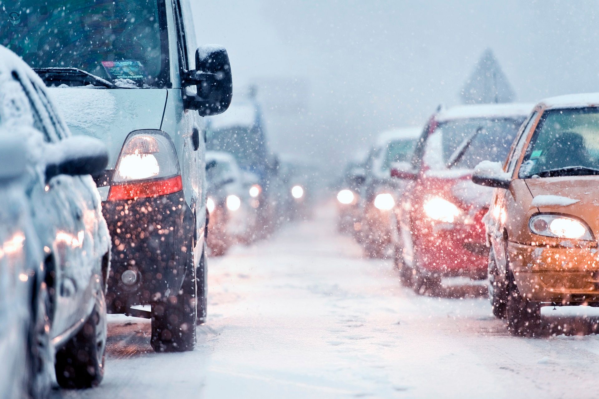
Warnings and potential impacts
The Met Office has issued snow and ice warnings for much of northern Scotland, Northern Ireland, Wales and England from Wednesday through Friday. These warnings reflect not only the expected snowfall but also strong winds, which could reach near gale force across northern Scotland and the Northern Isles. Blowing snow and drifting will create hazardous driving conditions, and there is a risk of travel disruption, communities being cut off, and power outages due to icing on power lines. Further warnings are also in place for northern Scotland from Saturday through Sunday.
READ MORE: Christmas weather extremes: Records from Christmas Eve to Boxing Day
How cold will it get?
Maximum temperatures will hover around 2–3°C for most at the end of the week, but parts of Scotland and northern England may not climb above 0°C over the weekend.
Daytime temperatures will struggle to rise above freezing across almost the entire country come the weekend, with some locations experiencing “ice days” where temperatures remain below zero.
Night-time temperatures will be even more severe. Where snow lies, values could plunge to -10°C or -15°C, while towns and cities may see lows around -5°C. Frost will be widespread and persistent, with some areas remaining frozen throughout the day.
Looking ahead: Will the cold persist?
Ensemble forecasts suggest high confidence in cold conditions through the first week of January. Beyond that, uncertainty increases, but most scenarios keep temperatures below average into mid-month. The position of high and low pressure systems will determine whether Atlantic fronts bring milder air or interact with the cold air to produce further snow.
There is a possibility of more widespread snow if Atlantic systems meet the entrenched cold air later in January, but confidence is low at this stage. For now, the most likely outcome is a continuation of colder-than-average conditions, with occasional snow showers and a gradual trend towards more unsettled weather.
Keep up to date with weather warnings, and you can find the latest forecast on our website, on YouTube, by following us on X and Facebook, as well as on our mobile app which is available for iPhone from the App store and for Android from the Google Play store.