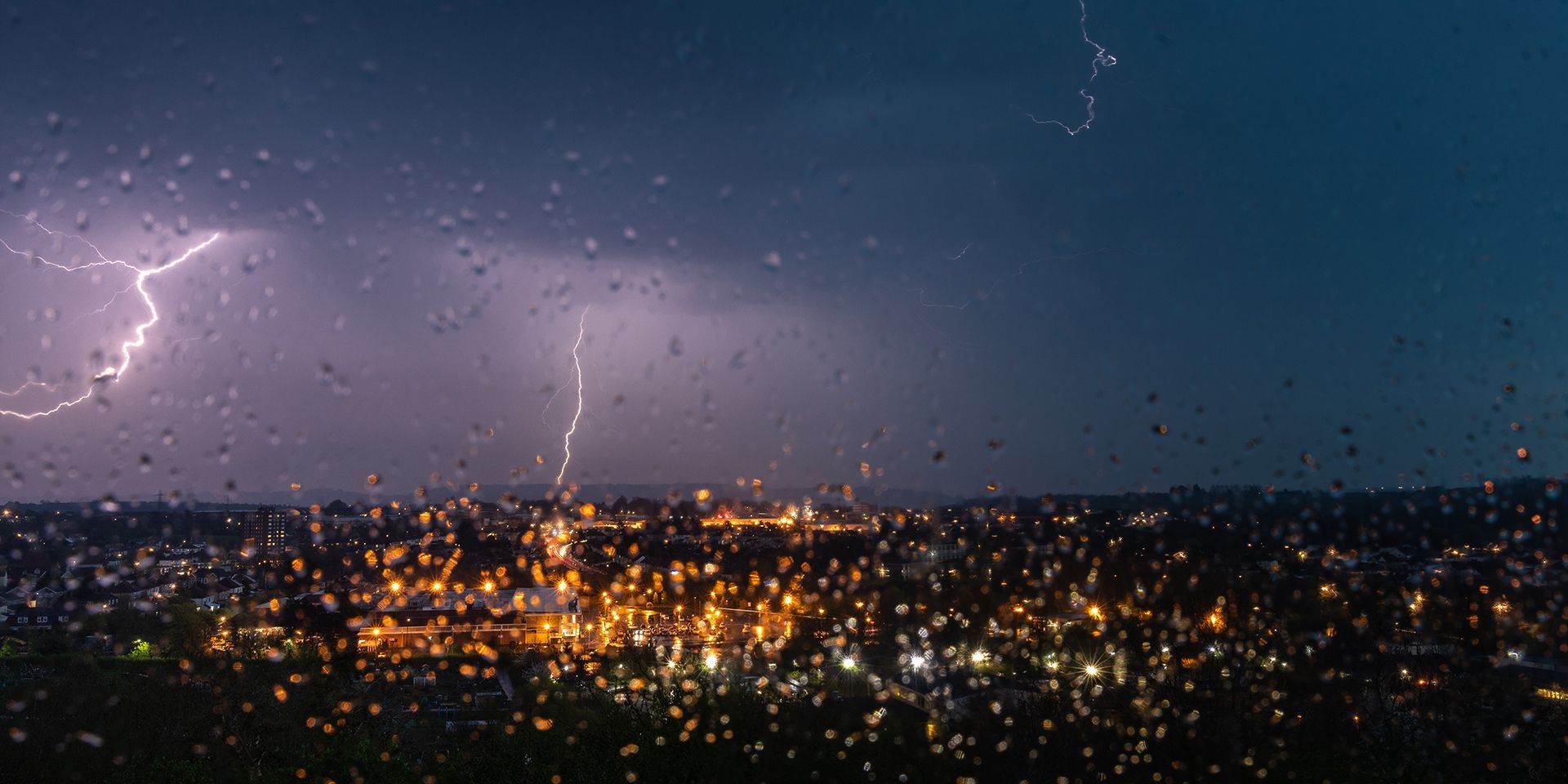
For weeks, people across England and Wales have been asking the same question: where is the rain?
Many have also been wondering why a summer that has delivered heat and humidity has produced relatively few thunderstorms.
As we enter the final week of meteorological summer, the answer is finally changing. A significant shift in the atmosphere is underway, bringing the potential for heavy rain, thunderstorms and localised flooding across parts of the UK. While many areas have been in need of rainfall, the concern now is that some places could receive too much rain in a short period of time.
Why has this summer been so quiet for thunderstorms?
At first glance, the lack of thunderstorms this summer may seem surprising. After all, parts of the UK have experienced prolonged warm and humid conditions.
The missing ingredient has been the wider atmospheric pattern. Throughout much of June, July and August, high pressure has dominated not only at the surface but also higher up in the atmosphere. This has acted to suppress rising air and prevent thunderstorms from developing, even when temperatures and humidity were high.
At the same time, the jet stream has spent much of the summer further north than usual, leaving the UK beneath a persistent ridge of high pressure. Sinking air associated with this pattern has helped maintain settled weather and restricted storm development.
This week, that pattern is changing.
A very different atmosphere arrives
Meteorologists often look beyond surface weather patterns to understand how the atmosphere behaves in three dimensions. This week, colder air is moving in at higher levels of the atmosphere while warm, humid air remains near the surface. That combination creates a much more unstable environment.
Low pressure will bring heavy, thundery downpours this week, with thunderstorm warnings in force for Wednesday and Thursday ⚠️
— Met Office (@metoffice) August 25, 2026
The exact location of the heaviest rain and thunderstorms remains uncertain so keep up to date with the latest forecast and warnings 📲 pic.twitter.com/7TS22g977B
In simple terms, when air is warm and moist near the ground but cooler higher up, it can rise much more readily. Rising air forms towering clouds and, given enough energy, thunderstorms.
This is the key difference between this week and much of the summer so far. The heat and humidity have often been present, but the atmospheric setup has not been favourable for widespread thunderstorm development. Now the ingredients are aligning.
Instability spreads across western Europe
The shift is not confined to the UK. Parts of western Europe have already experienced notably active weather, including severe thunderstorms and even a tornado across southern France. These storms developed as instability increased across the region, aided by the same broader pattern that is now moving towards the UK.
Low pressure is developing over Iberia before tracking north-eastwards towards France and the British Isles. This system will help transport warm, humid air northwards while also introducing colder air aloft, increasing the potential for thunderstorms.
What does this mean for the UK?
The first signs of change are already evident, with showers arriving across the south-west. Initially, some of these showers may produce impressive radar echoes but little rainfall at the surface because the rain is falling through relatively dry air and evaporating before reaching the ground.
As humidity increases through Wednesday and Thursday, warm surface temperatures, dew points in the mid-teens and lowering pressure aloft will provide the energy needed for thunderstorms to develop.
Forecast guidance indicates some of the highest instability values across Wales, the Midlands, south-east England and neighbouring areas. These regions could see the greatest risk of lightning, hail and torrential downpours during the middle part of the week.
READ MORE: Week ahead: Unsettled weather returns as summer draws to a close
Heavy rain could bring impacts
While the rain will be welcome in many drought-affected areas, there is increasing concern that some downpours may be intense enough to cause problems.
Forecast models suggest that some locations could receive 25 to 50mm of rain in just a few hours, while highly localised totals may exceed that where thunderstorms repeatedly affect the same area.
Despite the recent dry weather, there is an increased risk of surface water flooding and thunderstorms may also bring lightning and hail, adding to the potential impacts.
The exact location of the heaviest rain remains uncertain. Thunderstorms are by nature localised, and forecast models continue to show significant variation in where the most intense rainfall could occur.
How will the rest of the week unfold?
Wednesday is expected to bring increasing thunderstorm activity across central and southern parts of the UK before some of the wetter conditions spread northwards. Scotland, particularly central and northern areas, is likely to remain less active for a time.
Thursday currently looks the most concerning day for widespread impacts, with the potential for very heavy rain, thunderstorms and localised flooding across parts of England and Wales. Temperatures will remain warm and humid, creating an uncomfortable feel in some areas.
By Friday, heavy rain may extend further north into parts of Scotland while another Atlantic system begins to approach from the south-west ahead of the weekend.
Keep up to date with weather warnings, and you can find the latest forecast on our website, on YouTube, by following us on X and Facebook, as well as on our mobile app which is available for iPhone from the App store and for Android from the Google Play store.