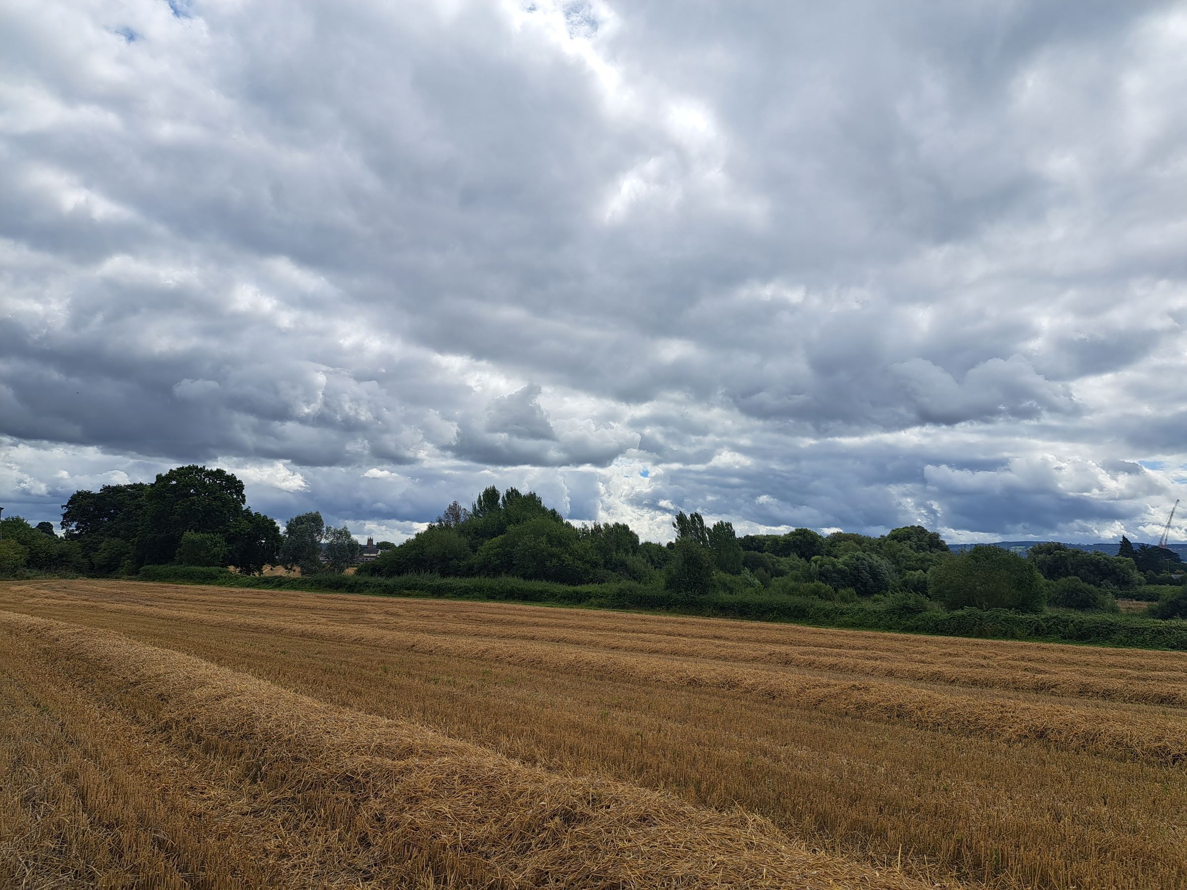
After an extraordinary summer dominated by heatwaves and prolonged dry weather, the UK has entered a markedly different weather pattern.
Recent rainfall has brought welcome relief to some areas, but the bigger question is whether this signals a lasting change and whether enough rain will fall to make a meaningful difference to drought conditions that have developed over the past two months.
The short answer is that the weather has changed, but rainfall totals over the next 10 days are unlikely to be sufficient to erase the significant deficits built up since June.
An extraordinary summer draws towards its conclusion
Summer 2026 has been one to remember. Many parts of England and Wales have experienced temperatures more than 2°C above average, while some areas have seen daytime temperatures running over 4°C above normal. At the same time, much of the UK has been exceptionally dry, with some locations recording less than a third of their usual summer rainfall.
One notable milestone came this week when the 62-day dry streak at Wisley in Surrey finally came to an end after 1.6mm of rain fell overnight. While welcome, this rainfall is only a small step towards addressing the much larger rainfall deficits that remain across many areas.
READ MORE: What were the longest dry spells of Summer 2026 so far?
Cooler conditions through the rest of this week
The dominant weather feature for the remainder of this week will be low pressure, replacing the high-pressure systems that brought so much heat and sunshine earlier in the summer. The jet stream has shifted further south, allowing cooler air to spread across the UK.
As a result, temperatures will fall below average in many places during Thursday and Friday. Frequent showers are expected across the country, with some particularly heavy downpours developing across northern and central England and parts of Wales. Thunderstorms and hail are also possible in places.
Northern areas will feel especially cool, with a brisk northerly wind adding to the autumnal feel. Overnight temperatures could fall into the low single figures in some sheltered Scottish glens, while more widely temperatures are expected to drop into single figures across northern parts of the UK.
Showers easing through the weekend
By the weekend, high pressure will begin to build back into the UK, gradually reducing the number of showers. Saturday is expected to start on a cool note, with sunny spells developing and showers becoming increasingly confined to coastal areas. Although there will be plenty of dry weather, temperatures will remain below average for many parts of the country.
Sunday should continue the trend towards more settled conditions. The best of the sunshine is likely across southern areas, while western Scotland, Northern Ireland and parts of northwest England may see some cloud and patchy showery rain. Overall, however, high pressure should keep much of the country dry.
READ MORE: Deep dive: After the heat, can the UK finally make up its rainfall deficit?
How much rain will fall?
Rainfall totals over the next few days are expected to be highly variable because much of the rain will fall in the form of showers. Some locations, particularly in northern and western England, west Wales, Scotland and Northern Ireland, could see between 30mm and 50mm of rain.
However, other areas, especially parts of central and southeastern England, may receive very little rainfall. This highlights the hit-and-miss nature of summer showers and why they are often less effective at relieving drought conditions than prolonged spells of steady rain.
A drier start to next week
The start of next week is likely to be largely dry for many areas as high pressure briefly strengthens. Temperatures should begin to recover, rising back above average by Tuesday and Wednesday, although current indications suggest values will remain well below heatwave levels.
There is also the possibility of some showers or longer spells of rain affecting western and southern areas as low pressure approaches from the Atlantic.
Looking ahead to the bank holiday weekend
Confidence decreases as we move into the second half of next week. Forecast models broadly agree that low pressure is likely to be close to the UK by late August, but there remains uncertainty over exactly where it will track and how quickly it will arrive.
The most likely scenario currently favours a return to more unsettled conditions later next week and into the bank holiday weekend, with an increasing risk of rain and stronger winds. Some forecast scenarios keep the wettest weather to the west, while others bring more widespread rainfall across much of the UK.
Keep up to date with weather warnings, and you can find the latest forecast on our website, on YouTube, by following us on X and Facebook, as well as on our mobile app which is available for iPhone from the App store and for Android from the Google Play store.