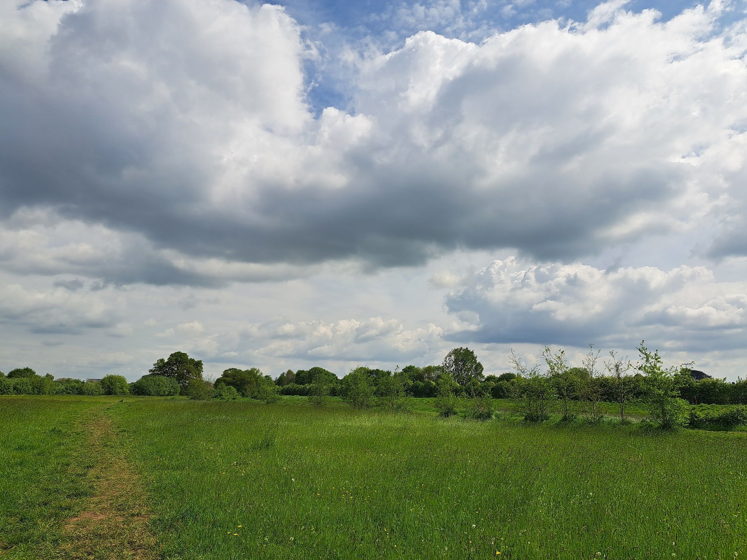
High pressure will continue to play a leading role in the UK's weather over the coming week, bringing plenty of dry conditions and warm temperatures for many areas.
However, there are increasing signs that the settled pattern will begin to weaken later in the week, allowing weather fronts to edge closer and bringing a greater chance of rain as we move into the weekend.
A Dry Start to the Week
The week begins with high pressure positioned to the west of the UK, maintaining largely settled weather conditions. For most areas, Monday and Tuesday will be dry with a good deal of sunshine, although northern and northwestern Scotland will remain cloudier and see occasional outbreaks of light rain and drizzle. Northern Ireland may also experience a few spots of rain at times, but most places will stay dry.
Despite the northerly influence, temperatures will still feel very warm in many areas. Across central, southern and eastern parts of England and Wales, temperatures are expected to reach 25 to 26°C, while plenty of sunny spells will help conditions feel pleasantly warm elsewhere. The far north and northwest of Scotland will be noticeably cooler under thicker cloud and patchy rain, with temperatures often held in the mid-teens.
By Tuesday evening, many areas will continue to enjoy dry conditions and clear spells, while northern Scotland sees further patchy rain and drizzle moving through.
Midweek: Warm Sunshine Continues
Wednesday brings a very similar story. Cloud and showery rain will continue to affect northern and northwestern Scotland, where some higher ground could receive around 10 to 15mm of rainfall during the day. However, even here there will be some drier and brighter interludes.
Elsewhere, dry weather remains the dominant theme. Cloud is likely to increase at times, particularly through the morning and afternoon, but there will still be plenty of brighter spells. Temperatures will remain above average, with highs of 26 to 27°C across parts of the Midlands, eastern Wales and southern England. Northern Ireland and eastern Scotland will also enjoy warm conditions, with temperatures generally reaching the low 20s Celsius.
READ MORE: Weekly weather quiz July 17: Test your knowledge!
Increasing Humidity and Scattered Showers
By Thursday, the air mass becomes a little more humid, particularly across southern and southeastern areas, leading to warmer nights. The day will begin with more cloud than earlier in the week, and there is a chance of a few scattered showers, especially along eastern coasts and in some inland areas. Any showers are expected to be light and fairly isolated, with many places remaining dry.
As cloud breaks up through the afternoon, sunshine will develop more widely. Temperatures will continue to reach around 26°C in the warmest parts of England and Wales, while eastern Scotland and Northern Ireland enjoy pleasant conditions with highs in the low 20s.
Friday: Warm South, Wetter North
Friday sees a more noticeable shift in conditions across northern parts of the UK. Winds will strengthen across Scotland, particularly in the northwest, as weather fronts begin to move closer. This will bring increased cloud and periods of rain, especially across northwestern Scotland where rainfall is likely to become more persistent.
Further south, however, conditions remain largely fine. Sunny spells are expected to develop after a cloudier start, and temperatures could reach 28°C across parts of southeast England. Many areas of England and Wales will see highs in the mid-20s, making it another very warm summer day.
READ MORE: Festival Forecast: Settled weather set to continue?
Looking Ahead to the Weekend
The biggest change is expected as we move into the weekend. High pressure is forecast to weaken further, allowing weather fronts to become more active and push southwards. This will increase the likelihood of rainfall across central and northern parts of the UK, bringing some much-needed rain to areas that have remained exceptionally dry in recent weeks.
While confidence naturally decreases further ahead, the overall message is that the coming week will be warm and predominantly dry for most. The greatest chance of meaningful rainfall remains in the far north and northwest of Scotland through the week, before a more changeable pattern begins to emerge during the weekend.
You can find the latest forecast on our website, on YouTube, by following us on X and Facebook, as well as on our mobile app which is available for iPhone from the App store and for Android from the Google Play store.