The final week of October will begin with strong winds and heavy showers before high pressure brings a significant change later in the week.
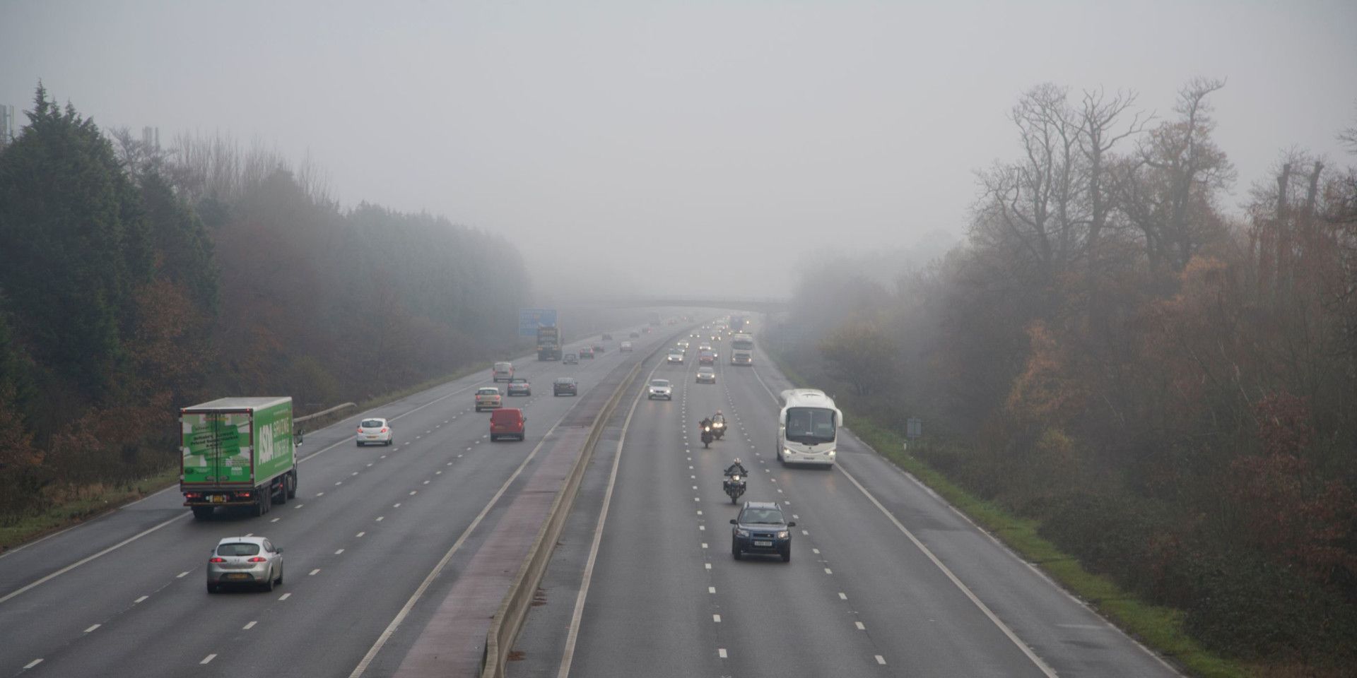
By Thursday and Friday, much of the UK will experience lighter winds and drier weather, although mist and fog could become increasingly widespread and slow to clear.
What will the weather be like on Tuesday?
Tuesday will be a notably unsettled day as an area of low pressure brings wet and windy conditions across the UK.
An active cold front will move eastwards during the morning, producing a spell of heavy rain from Lincolnshire southwards towards Hampshire. Although the rain will move through relatively quickly, it could lead to spray and surface water during the morning rush hour.
Behind the front, brighter spells will develop, but these will be accompanied by frequent, fast-moving showers. It will remain gusty across the country, with the strongest winds expected over northern Scotland and along the north coast of Northern Ireland.
Gusts of 60–70mph are possible in the far north, potentially causing some disruption, particularly following the recent stormy weather. Met Office yellow weather warnings remain in place across much of Scotland and the north coast of Northern Ireland.
Temperatures will generally be around average for late October, perhaps slightly above average along the south coast. However, frequent showers and strong winds will make it feel cooler across Scotland.
Will the wind ease on Wednesday?
The area of low pressure will gradually pull away on Tuesday evening, allowing conditions to become somewhat less unsettled on Wednesday. However, it will remain breezy, especially across the northern half of the UK.
Many places will begin Wednesday with cloud and some outbreaks of rain, although the rain is not expected to be particularly heavy. Showers will continue across Scotland, Northern Ireland and parts of northern England.
Southern and eastern England should remain largely dry and bright, with sunny spells developing. Temperatures could reach 16 or 17°C in places, which is slightly above average for the end of October.
With winds beginning to ease, it should also feel milder across Scotland, Northern Ireland and northern England than it did on Tuesday.
When will the weather become calmer?
The main change will arrive during Wednesday night and Thursday as high pressure becomes established across the UK.
As the isobars spread further apart, winds will become much lighter, particularly across central and eastern areas. Western parts may retain more of a breeze, with one or two light showers possible, but most places will have a dry day.
Following the recent wet weather, the combination of abundant moisture and light winds will increase the likelihood of mist and fog. Some fog patches could be dense and may take several hours to lift.
Where fog persists, temperatures will be suppressed and conditions could remain chilly and grey. Where it clears, brighter spells should allow temperatures to climb into the teens.
Will it stay dry on Friday?
High pressure will remain firmly established over eastern parts of the UK on Friday, maintaining predominantly dry conditions across England and Wales.
Central and eastern England could once again wake to stubborn fog, with some patches potentially lingering for much of the morning. Conditions should gradually brighten during the afternoon, bringing sunny spells and light winds.
Temperatures are expected to reach around 13–15°C, with perhaps 16°C along the south coast.
Further west and northwest, weather fronts will attempt to move in from the Atlantic. The timing remains uncertain, but cloud and rain could reach western Scotland or Northern Ireland during Friday.
What is the Halloween weekend forecast?
A north-south split may develop during the weekend. A weather front could bring outbreaks of rain across northern Britain during Saturday and Saturday night.
Farther south, high pressure is expected to remain influential, keeping much of the weather dry. However, light winds may allow further areas of mist, low cloud and fog to form.
That could produce appropriately murky conditions for Halloween on Saturday, 31 October, particularly across parts of England and Wales. Anyone with outdoor plans should keep up to date with the forecast as details concerning the northern rain and the extent of the fog become clearer.
READ MORE:
Where were Storm Austen’s strongest wind gusts recorded?
How to find wind and gust information in the Met Office app
What does it take for a storm to be named?
Weather bombs: What causes explosive cyclogenesis?
Keep up to date with weather warnings, and you can find the latest forecast on our website, on YouTube, by following us on X and Facebook, as well as on our mobile app which is available for iPhone from the App store and for Android from the Google Play store.