A cold and crisp start to the weekend will give way to increasingly unsettled weather in parts of the UK, with a significant contrast developing between the wet southwest and the colder, drier north and east.
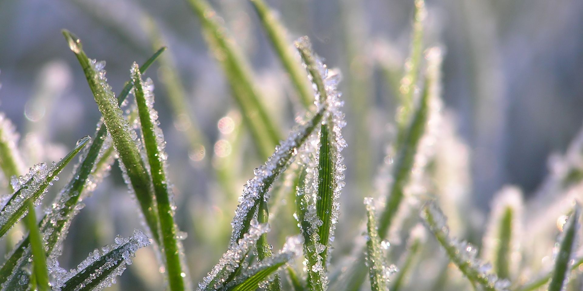
Saturday will begin on a notably chilly note for many, following clear skies overnight. A widespread frost is expected, with temperatures falling to around -1°C to -3°C even in some urban areas. Sheltered parts of northern UK could be considerably colder, with lows potentially reaching around -8°C.
A cold but bright Saturday
For much of the UK, that frosty beginning will lead into a crisp late-autumn day, with plenty of sunshine and dry weather. There may be one or two isolated showers across northern and eastern Scotland, but these will be the exception rather than the rule.
Temperatures will remain below average, particularly across northern and eastern areas, where highs of around 4°C to 7°C are expected. Further south and southwest, temperatures will climb towards double figures as the day progresses. However, that somewhat milder air will arrive alongside increasing cloud and a strengthening breeze.
The first signs of a change will appear across Cornwall during Saturday afternoon, with some light and patchy rain arriving. After dark, a weather front moving in from the Atlantic will bring more persistent and increasingly heavy rain into Cornwall, before spreading into Devon and parts of southwest Wales. Cloud will also thicken ahead of the front across Northern Ireland, Wales, the Midlands and southern England.
Why will the rain stall?
The developing weather pattern is important in determining what happens next. The Atlantic weather front will run into colder and drier air further northeast, associated with a large area of high pressure to the north. This will slow the front's progress.
At the same time, the contrast between relatively mild air arriving from the Atlantic and the colder air already in place will help strengthen the front, allowing the rainfall to become heavier. With the front making only slow progress, some southwestern areas could therefore see rain lasting for much of Sunday.
A very wet Sunday for some
Sunday will bring perhaps the biggest contrasts of the weekend. Scotland and northern England are expected to begin with another widespread frost, although temperatures may not fall quite as low as on Saturday morning. Much of the north will remain on the drier and brighter side of the weather system.
An east or north-easterly breeze will bring some showers into north-eastern England, while conditions will be much milder towards the southwest. Here, however, rain will dominate, initially across Cornwall before becoming particularly heavy over southeast-facing high ground such as Dartmoor.
The rain will gradually edge into parts of southern and western Northern Ireland, mid Wales and central southern England, but is expected to make little further progress. Although the rain may become somewhat less heavy and persistent later on Sunday afternoon, some southwestern areas are likely to remain wet for much of the day.
South Wales and southern and southwestern England are expected to see the largest rainfall totals. Around 30–50mm could fall over some of the wetter locations such as Dartmoor, while more than 75mm is considered a reasonable worst-case scenario over exposed high ground.
Temperatures will reflect the weekend's striking regional differences. Where rain dominates, values could reach around 11°C, while northern and eastern areas are more likely to see 7°C to 9°C, remaining a little below average for late November.
Looking into next week, further Atlantic weather fronts will attempt to move in from the west but will continue to encounter colder air to the east. This sets the scene for a slow-moving, blocked weather pattern, with further contrasts in conditions possible across the UK.
READ MORE:
Could we see a cold winter ahead?
10-day trend: Cold and frosty before an Atlantic battle develops
Deep dive: What could Sudden stratospheric warming mean for the UK?
How is a strong, south-shifted jet stream affecting UK weather?
Keep up to date with weather warnings, and you can find the latest forecast on our website, on YouTube, by following us on X and Facebook, as well as on our mobile app which is available for iPhone from the App store and for Android from the Google Play store.