As we mark World Water Week (25–29 August), it’s a timely opportunity to explore one of the most fundamental processes shaping our weather: the water cycle.
This continuous movement of water between the earth’s surface and the atmosphere plays a vital role in determining the UK’s weather patterns, from rainfall and cloud formation to temperature changes and severe weather events.
Understanding the water cycle
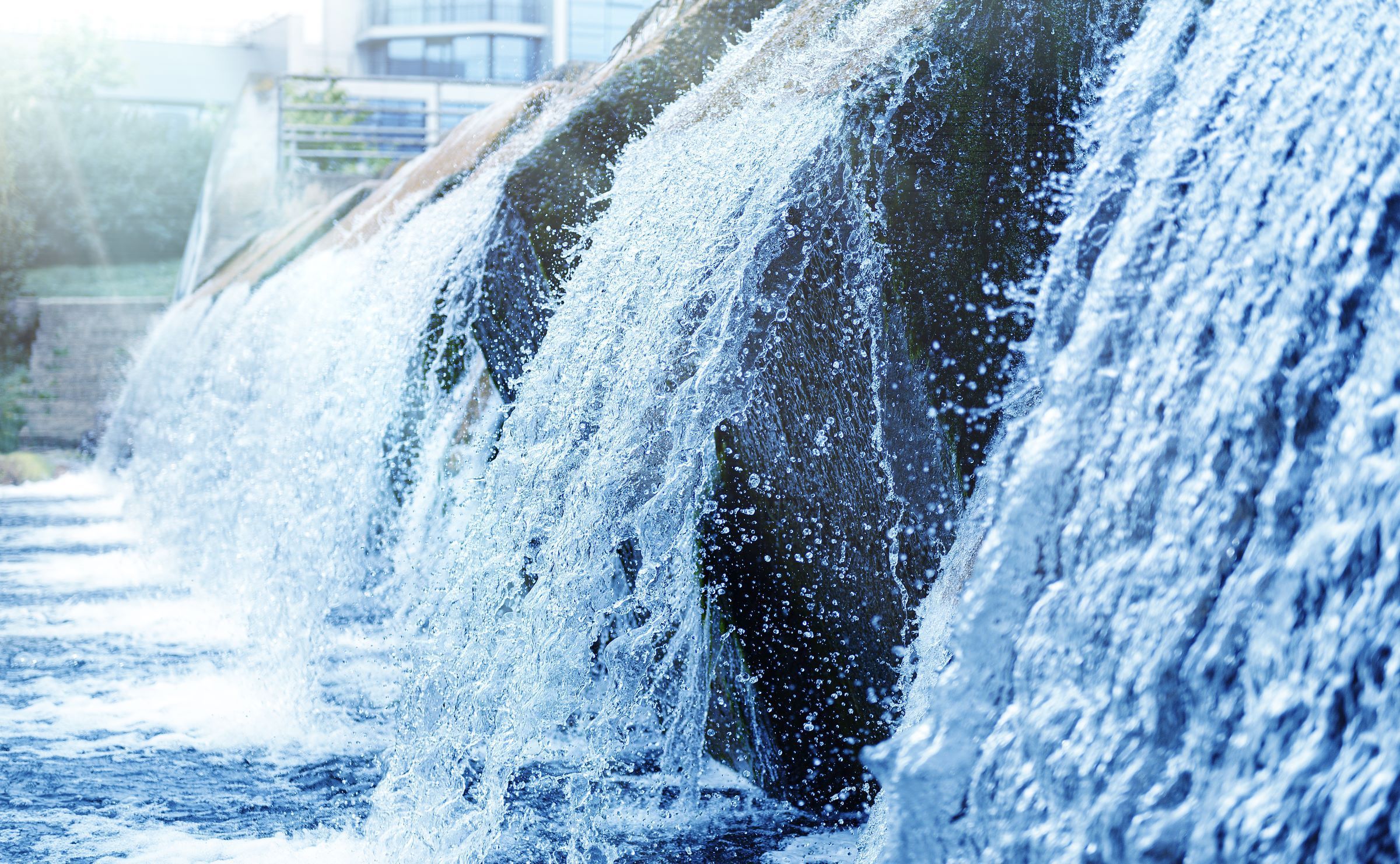
The water cycle is the process by which water is constantly exchanged between the surface of the earth and the atmosphere. It involves water in all its forms, liquid, solid and gas, and is driven by the energy of the sun. This cycle is always active, occurring all around us, all the time.
Key processes in the water cycle
The water cycle consists of several interconnected processes:
- Evaporation, transpiration and sublimation: Water from rivers, oceans and other surfaces is heated by the sun and evaporates into water vapour. Plants also release water vapour through transpiration. In some cases, ice can bypass the liquid stage and turn directly into vapour through sublimation.
- Condensation: As water vapour rises and cools in the atmosphere, it condenses into liquid droplets, forming clouds. Ice crystals may also form at higher altitudes.
- Precipitation: Within clouds, droplets merge and grow larger. When they become heavy enough, they fall to the ground as rain, sleet, hail or snow. Once on the surface, water may flow into rivers and oceans, soak into the soil, or be absorbed by plants, ready to begin the cycle again.
READ MORE: Water security and the global water cycle
Rainfall patterns in the UK
Rainfall in the UK is heavily influenced by geography and prevailing weather systems. The wettest areas are typically mountainous regions such as Snowdonia, the Lake District and the Scottish Highlands, where annual rainfall can exceed 4 metres
Other notably rainy regions include:
- Northwest England, especially the Lake District and western Pennines
- Western and mid Wales, particularly Snowdonia
- Southwest England, including Dartmoor, Exmoor and Bodmin Moor
- Parts of Northern Ireland
These areas share common traits: high elevation and exposure to moist westerly winds from the Atlantic.
Why some places get more rain than others
The UK’s prevailing westerly winds carry moist air from the Atlantic. As these winds encounter the mountains of northern and western Britain, they are forced to rise. This cooling of air enhances cloud formation and rainfall, a process known as orographic enhancement. As weather systems move eastward, rainfall tends to decrease, creating a clear northwest-southeast divide in precipitation levels.
READ MORE: Rain or showers? What's the difference?
How the water cycle affects UK weather
The water cycle influences UK weather in several ways:
- Increased evaporation and condensation can lead to more cloud cover, reducing temperatures.
- Precipitation from the water cycle results in rain and snow, which can trigger severe weather conditions.
- Excessive rainfall may cause flooding, while insufficient rainfall can lead to drought.
These impacts demonstrate how closely linked the water cycle is to the UK’s weather and climate. Understanding this cycle helps meteorologists forecast conditions and prepare for extremes.
The water cycle is not just a scientific concept, it’s a dynamic system that affects our daily lives, from the weather we experience to the ecosystems we depend on. By understanding its processes and impacts, we gain deeper insight into the forces that drive the UK’s ever-changing weather.
Keep up to date with weather warnings, and you can find the latest forecast on our website, on YouTube, by following us on X and Facebook, as well as on our mobile app which is available for iPhone from the App store and for Android from the Google Play store.