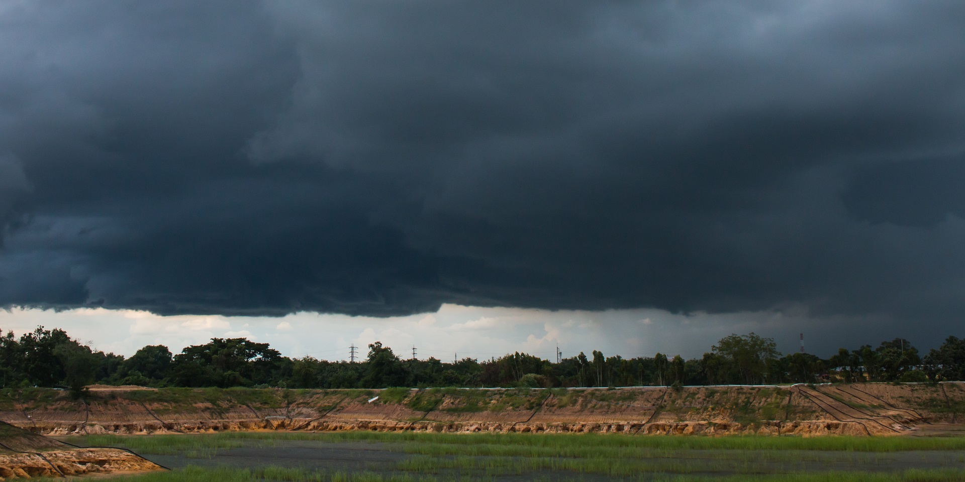
As we move into the final days of October, the UK is set for a week of classic autumnal weather.
Expect a little bit of sunshine, a fair bit of rain, and often some gusty winds. This is a typical late October pattern, with unsettled conditions prevailing across much of the country. Rainfall totals will build up steadily over the course of the working week and nowhere will be entirely immune from wet weather.
For central and eastern parts of England, which have been notably dry, some useful rain is expected. However, the heaviest rainfall is likely to affect the west, particularly northwest Scotland, where hills and mountains will see significant accumulation.
Rainfall and pressure systems
Spells of rain will come and go throughout the week, driven by persistent low-pressure systems. The jet stream remains active and close to the UK, helping to push weather systems and fronts across the country.
Isobars are tightly packed, indicating periods of blustery conditions, especially later in the week as a developing area of low pressure moves to the west of the Republic of Ireland. This will bring further wet and windy weather as we approach the weekend.
There'll be a subtle rise in temperature this week 📈
— Met Office (@metoffice) October 27, 2025
You'll mostly notice it overnight - after some chilly mornings initially, it will be slightly milder when stepping out the door later in the week pic.twitter.com/CgrUt81LPZ
Monday night into Tuesday
The first weather system of the week will travel south on Monday night, lingering across southern counties of England. This may result in a grey start to Tuesday with a narrow band of rain and drizzle. Further north, showers are expected in western Scotland and Northern Ireland, with a few reaching Northern England. Winds will be quite strong, particularly over the Pennines early in the day.
However, much of northeast England, North Wales, the Midlands, and East Anglia will enjoy a fine Tuesday with dry and bright conditions, accompanied by some sunny spells. The northerly wind that brought a chill last week has eased, replaced by westerly winds that will bring temperatures closer to seasonal averages. Southern areas may see temperatures creeping into the low to mid-teens, while northern Scotland remains colder with single-digit highs.
Wednesday
As we move into Tuesday night and Wednesday morning, two areas of interest emerge. One is a low-pressure system bringing showers to the northwest, and the other is a series of wiggling weather fronts. These fronts, often difficult to pinpoint, could shift rain slightly north or south. Generally, the Midlands, South Wales, Southern England, and East Anglia will experience a grey Wednesday with outbreaks of rain. North Wales may see brighter conditions, and Northern England could enjoy a dry and fine day between weather systems.
Scotland and Northern Ireland will continue to see showers, with cold air persisting in northern Scotland. Snow is possible over mountain tops, and temperatures will remain in single digits. Further south, increased cloud and rain will make Wednesday cooler than Tuesday, with most areas struggling to reach the teens.
Thursday
By Wednesday night, the earlier wave of rain should move away, and attention turns to the southwest where a new system is developing. Although intensifying well away from the UK, it is expected to bring wet and windy weather later on Thursday. A ridge of high pressure will dominate early Thursday, resulting in a fine but cold start. Temperatures in towns and cities will drop into single digits, with frost likely in rural areas. Fog may form in parts of Scotland where winds are light.
READ MORE: Met Office weather stations: How we measure the weather
Despite a few showers in the far north, most areas will see a sparkling start with plenty of blue sky. However, cloud will increase in the west as the new system approaches, bringing rain to southwest England, Wales, and later Northern Ireland. Winds will also begin to pick up. It will be a chilly start, and temperatures may not rise into the teens until late in the day. Nevertheless, many areas will enjoy a fine and bright Thursday.
Friday and the weekend
The approaching weather system will continue its northward track, spreading rain across most regions Thursday night into Friday. Isobars will tighten significantly over the Republic of Ireland, indicating strong winds. The UK will also experience breezy conditions on Halloween, with spells of rain crossing Scotland and Northern Ireland. England and Wales will see showers, but dry and bright spells are also expected. Winds will shift to a southerly direction, bringing milder air.
With some sunshine, temperatures on Friday could reach 15 to 16 degrees in southern and eastern areas. However, showers and gusty winds, especially along western coasts, will make it feel cooler. As the system moves away heading into the weekend, attention turns to the south where another potential system may develop. This could bring further wet and windy weather. It’s a situation to monitor closely, and updates will be provided as the forecast evolves.
Keep up to date with weather warnings, and you can find the latest forecast on our website, on YouTube, by following us on X and Facebook, as well as on our mobile app which is available for iPhone from the App store and for Android from the Google Play store.


