Weather shapes everything from our daily routines to the resilience of national infrastructure. That’s why accurate, reliable meteorological observations are more crucial than ever.
The Met Office provides the UK and the world with robust, science-based data and weather intelligence to keep people safe and able to make informed decisions. A cornerstone of this provision is through our use of satellite observations from space.
Here, we explain the sorts of data and information we collect from space and how these observations are made.
The role of satellites in modern meteorology
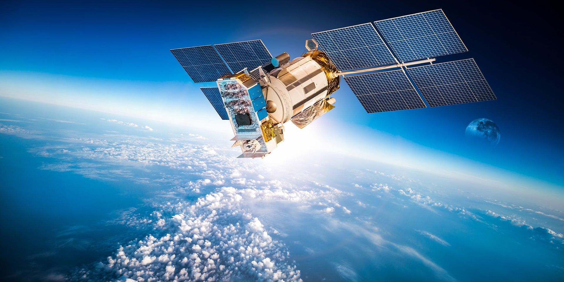
Satellites have revolutionised weather forecasting. Since the launch of the first meteorological satellite, TIROS, in 1960, satellite imagery has become a familiar sight on television and in weather apps. These images are not just for show, they are the backbone of modern weather prediction, providing a global perspective that surface-based observations alone cannot match.
The Met Office works with a range of satellites, both geostationary and polar orbiting, to collect a continuous stream of data about the atmosphere, oceans, and land surfaces. This data is essential for accurate weather forecasts, climate monitoring, and emergency response. Around three quarters of existing weather forecast accuracy is as a result of data from satellites.
Types of satellites and their functions
- Geostationary satellites
Geostationary satellites orbit the Earth at an altitude of around 35,800 km, remaining fixed over the equator. Because they rotate at the same rate as the Earth, they provide an unbroken series of images of the same region. The Met Office contributes to the European EUMETSAT-operated Meteosat satellite system, which is ideally positioned over the Greenwich meridian to observe weather systems affecting the UK and Europe. These satellites are invaluable for tracking the development and movement of weather systems in real time.
- Polar orbiting satellites
Polar orbiting satellites, such as the European Metop and US NOAA satellites, fly much closer to the Earth, typically at 850 km altitude. They orbit from pole to pole, scanning wide swathes of the atmosphere and providing high-resolution measurements. Each part of the Earth is observed at least twice daily, and the sun-synchronous orbits ensure that observations are made at the same local time each day. This consistency is vital for monitoring changes over time and for feeding data into numerical weather prediction models.
What do satellites actually measure?
- Satellite imagery
Satellites provide images in both the visible and infrared parts of the spectrum. Visible images, similar to what the human eye would see, are useful during daylight hours. Infrared imagery, on the other hand, allows us to observe the atmosphere at night and to measure the temperature of cloud tops and the Earth’s surface. Met Office Science teams also develop specialised satellite imagery by combining data from multiple satellite channels, enabling us to identify and monitor specific meteorological features with greater precision.
There are plenty of sunny spells out there today 🌤️
— Met Office (@metoffice) September 24, 2025
How is it looking where you are? Snap a pic and tag us with #LoveUKWeather 😎 pic.twitter.com/5beyyZqxBr
READ MORE: How does the Met Office monitor space weather?
By analysing sequences of images, meteorologists can infer wind speed and direction, track the movement of clouds, and identify features such as fog, dust storms, pollution, and volcanic ash. For example, satellite imagery was crucial in monitoring the spread of the Eyjafjallajökull volcanic ash cloud in 2010 and the Buncefield explosion plume in 2005, as well as Storm Éowyn, the UK’s most powerful windstorm for over a decade
- Satellite soundings
High-precision instruments on satellites measure the radiation naturally emitted by the Earth and its atmosphere, particularly in the infrared and microwave parts of the spectrum. These measurements allow us to derive vertical profiles of temperature and humidity—known as soundings—across the globe. Such data is invaluable for numerical weather models, which rely on accurate, three-dimensional representations of the atmosphere.
- Wind scatterometers
Scatterometers are radar systems on polar orbiting satellites that measure the strength of radar pulses reflected from the ocean surface. By analysing the backscatter at different angles, we can determine wind speed and direction over the sea - a critical input for marine forecasts and for understanding large-scale weather patterns.
- Global satellite navigation systems
Signals from global navigation satellites, such as GPS, are also used for meteorological purposes. By measuring the delay in signal arrival caused by water vapour in the atmosphere, we can estimate the total water vapour content along the signal’s path. This information is particularly valuable for identifying areas of deep moisture that can trigger thunderstorms.
- Altimeters
Altimeters on satellites measure the precise distance between the satellite and the Earth’s surface, providing data on sea surface height, wave height, wind speed, and the extent of sea ice.
Data availability
Global collaboration is crucial when it comes to weather prediction, as a full picture of the earth’s atmosphere is required to produce a forecast. Data from satellites complements surface-based measurements from around the world, all of which must adhere to international standards. The Met Office works closely with international partners to ensure that satellite data is cross-checked, quality-controlled, and integrated with other sources of information. The combination of satellite and surface-based observations provides the most complete and accurate picture of the atmosphere possible.
While satellites have some limitations, such as cloud cover affecting infrared soundings of the atmosphere or certain instruments being sensitive to specific atmospheric conditions, these are well understood and accounted for in data processing. Multiple types of satellites and instruments are used in tandem to fill gaps and provide complementary information. For example, microwave measurements can penetrate clouds where infrared cannot, and different orbits provide both global coverage and high temporal resolution.
READ MORE: Space weather: How different types affect us
The Met Office represents the UK as a Member of EUMETSAT, an intergovernmental organisation dedicated to satellites for weather, climate and the oceans. EUMETSAT membership allows us to share the cost of satellites, while accessing the technology and scientific skills across the European membership.
Keep up to date with weather warnings, and you can find the latest forecast on our website, on YouTube, by following us on X and Facebook, as well as on our mobile app which is available for iPhone from the App store and for Android from the Google Play store.