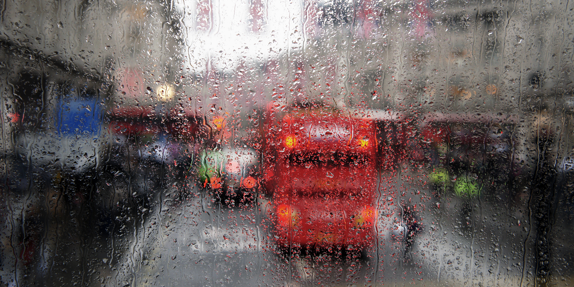
September has so far been defined by unsettled weather, with persistent rain and blustery winds sweeping across the UK.
As we look ahead to the coming week, the dominant theme remains low pressure, bringing further spells of wet and windy conditions. However, there are signs of a shift on the horizon, with the potential for drier and warmer weather as we move into the final week of the month.
Low pressure dominates the start of the week
Tuesday offers a brief respite for many, with a reduction in rainfall and a touch more warmth, especially in the south-east where temperatures could reach 20°C. However, it’s not entirely dry or sunny, as showers continue to affect western parts of England, western Scotland, Northern Ireland, and north Wales. The south enjoys a drier day, though cloud increases later as the next weather system approaches.
Winds pick up again through Tuesday evening, heralding the arrival of another batch of wind and rain from the Atlantic. While this low isn’t particularly fierce, it will bring strong winds, especially to the northwest. Offshore gusts could exceed 70 mph, but for most exposed areas, such as Northern Ireland, Irish Sea coasts, northern and western Scotland, gusts of 50 to 60 mph are likely. The low lingers, keeping conditions blustery through midweek.
Here's your weather summary:
— Met Office (@metoffice) September 15, 2025
Monday: Windy, as low pressure continues to dominate 🌬️
Tuesday: Calmer, with lighter winds and a few showers ⛅
Wednesday: Wet and windy to start, but some drier spells later ☔ pic.twitter.com/7MGXGAIBY9
Persistent rain and strong winds midweek
Wednesday starts with a band of heavy rain sweeping across the UK. The heaviest rainfall is expected across central areas, with Wales, particularly the south and west, prone to intense downpours. Some locations could see up to 50mm of rain in just six hours, especially over higher ground. Most of the country will experience a soggy day, though brighter spells may develop by afternoon in northern England, the north Midlands, and north Wales.
Two yellow weather warnings for rain have been issued for Wednesday. The first covers parts of north-west Wales between 3am and 12pm. The second covers south and south-west Wales between 12am and 11pm.
Showery rain persists across northern and north-western Scotland, while the south remains damp and humid. Despite the cloud and rain, temperatures could still reach 20 or 21°C. As the front moves through, a trailing weather front remains across central parts of the UK on Thursday. There’s some uncertainty about its exact position, but wet weather is likely for the Midlands and Wales, possibly extending into the south-west of England. This rain band will ebb and flow through the day, occasionally pushing northwards.
Brighter spells and warmth in the south
Between the rain bands and showers affecting northern Scotland, there will be drier and brighter intervals, particularly for northern England. The far south and south-east are most likely to stay dry, though gusty winds persist. The strongest winds will be confined to northern Scotland, where coastal gales could bring gusts of 50mph or more.
By Friday, the trailing weather front pushes further north, bringing more heavy rain to Wales, northern England, south-west Scotland, and Northern Ireland. Again, higher ground in the north-west will bear the brunt of the rainfall. In contrast, the south turns drier and brighter, with the best of the sunshine in the south-east. Winds begin to change direction, potentially ushering in warmer air to London and the south-east, where temperatures could climb to 23 or even 25°C, depending on wind orientation. However, conditions remain much less pleasant across north-western parts of the UK.
READ MORE: Hurricanes, typhoons and tornadoes: What’s the difference?
The jet stream and the weekend outlook
To understand the evolving weather, it’s helpful to look at the jet stream setup. On Tuesday, the jet stream is relatively flat across the North Atlantic, driving a succession of low-pressure systems towards the UK. Over the next few days, subtle changes occur, with the jet stream becoming more amplified as it crosses the Atlantic. One portion dips south, while another pushes north over the UK.
This shift brings several impacts. Firstly, it allows warmer air to move into the south-east on Friday and Saturday, raising the chance of thunderstorms as the warmth builds. Secondly, it pushes the wettest weather towards the north-west as the weekend begins. Within the trough of the jet stream, heavy rain and showers are likely to develop, especially as the system slowly crosses the UK during the weekend and into the start of next week.
Signs of a drier spell ahead
Despite the ongoing unsettled conditions, there are encouraging signs of change. A ridge of high pressure is building to the west of the UK, and as the jet stream shifts, this high pressure is expected to move across the country during the final week of September. This transition could bring an end to the relentless cycle of low-pressure systems, offering a drier interlude and a welcome break from the wet and windy weather that has dominated so far.
In summary, the week ahead will be marked by further spells of rain and strong winds, particularly in the north and west. The south-east will see the best of any warmth and sunshine, especially towards the end of the week, with temperatures potentially reaching the mid-twenties. The jet stream remains a key driver of our weather, but its evolving pattern hints at a shift towards drier and more settled conditions as we approach the end of September.
Keep up to date with weather warnings, and you can find the latest forecast on our website, on YouTube, by following us on X and Facebook, as well as on our mobile app which is available for iPhone from the App store and for Android from the Google Play store.


