The Azores High is a key player in shaping Britain’s weather, influencing everything from storm tracks to seasonal temperatures.
Also known as the North Atlantic Subtropical High or Bermuda High, the Azores High is a large semi-permanent centre of high atmospheric pressure typically located south of the Azores in the Atlantic Ocean.
This subtropical anticyclone plays a crucial role in shaping weather patterns across vast regions, including North Africa, Western Asia, Southern Europe, and, to a lesser extent, eastern North America.
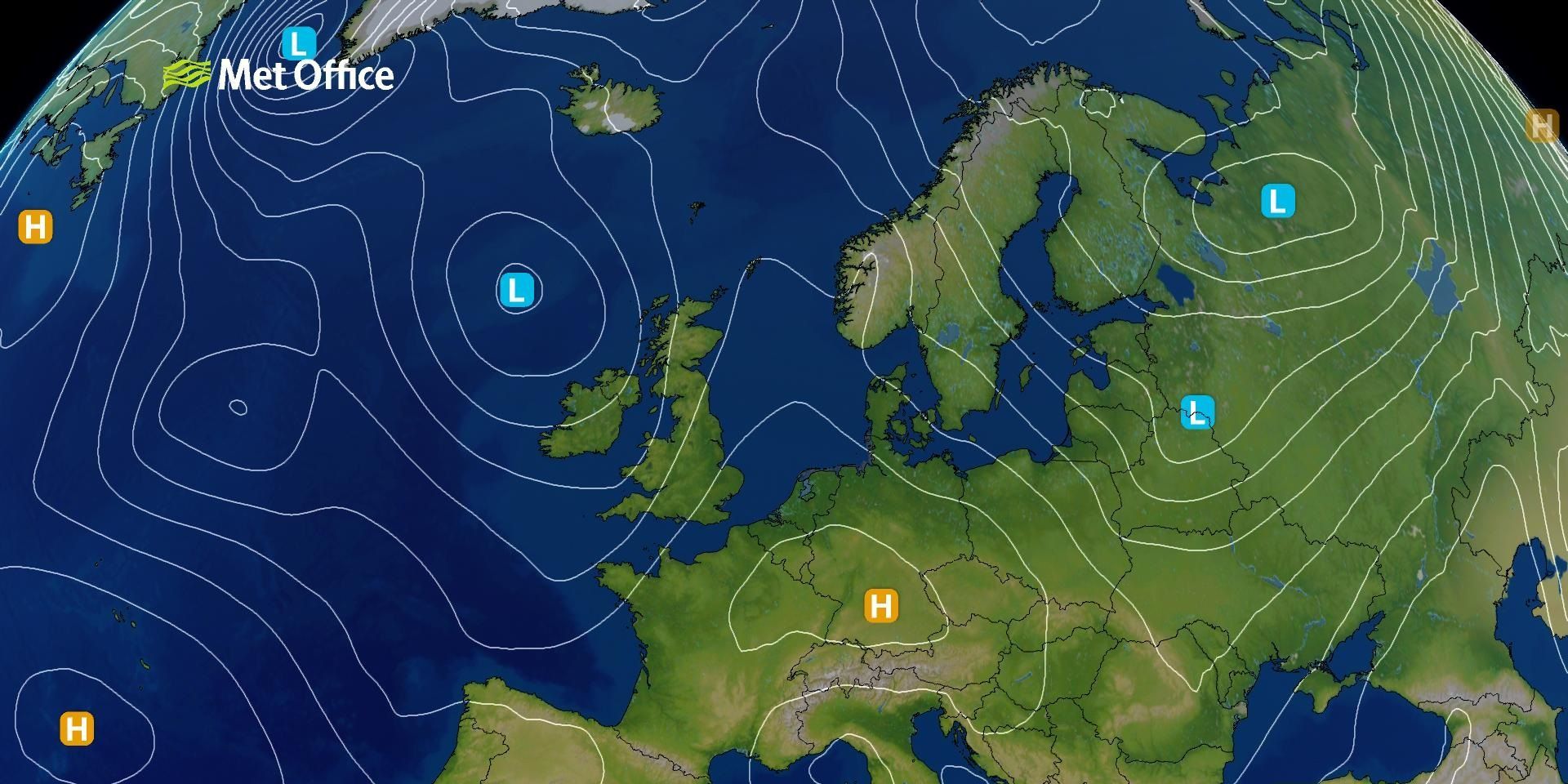
In the context of the North Atlantic, the Azores High forms one pole of the North Atlantic Oscillation (NAO), with the Icelandic Low forming the other. The NAO refers to fluctuations in the surface pressure gradient between these two systems. When the pressure difference is large, the NAO is said to be in a positive phase, leading to stronger westerly winds across the Atlantic.
This typically results in more frequent and intense storms tracking across northwestern Europe, including the UK. Conversely, a negative NAO phase, where the pressure difference is smaller, tends to shift storm tracks towards southern Europe, often bringing quieter conditions to Britain.
READ MORE: What are weather fronts?
The NAO is not static, it varies on multiple timescales, from daily weather system changes to seasonal and longer-term shifts. These variations can be predicted months in advance, particularly from November for the upcoming winter season.
Winter impacts on the UK
During winter (December to February), a strongly positive NAO index increases the likelihood of milder-than-average temperatures in northern Europe, including the UK. It also raises the chance of wetter conditions, especially in northwestern areas. In contrast, a negative NAO phase can bring colder and drier weather to Britain, with increased risk of snow and frost.
Summer influences
In July and August, the pressure patterns shift, and the Summer North Atlantic Oscillation (SNAO) becomes the key indicator. A positive SNAO index is associated with higher temperatures and reduced rainfall in north-western Europe, including the UK. This can lead to prolonged dry spells and heatwaves. A negative SNAO phase, on the other hand, increases the likelihood of cooler and wetter conditions.
READ MORE: Understanding the Foehn effect and its impacts
Understanding the behaviour of the Azores High and its interaction with the Icelandic Low is essential for anticipating seasonal weather trends in Britain. These pressure systems influence not only temperature and rainfall but also the frequency and intensity of storms.
As forecasting techniques continue to improve, monitoring the NAO and SNAO provides valuable insight into the UK’s changing weather patterns.
Keep up to date with weather warnings, and you can find the latest forecast on our website, on YouTube, by following us on X and Facebook, as well as on our mobile app which is available for iPhone from the App store and for Android from the Google Play store.