It has been a notably cool and unsettled start to June across the UK, but a transition is on the way as we head into the weekend and beyond.
The next ten days bring a shift from low pressure-dominated conditions towards a warmer and, at times, more settled spell, although changeable weather never strays too far away.
Unsettled conditions continue in the short term
Through the remainder of this week, low pressure remains in control, bringing further spells of rain and plenty of cloud. Thursday in particular will see a band of rain moving across much of the UK, producing a fairly wet and overcast day for many. While rainfall may not be especially intense, it is expected to be persistent.
Temperatures during this period will be somewhat muted, generally staying in the high teens at best due to limited sunshine. However, it will feel increasingly humid as milder air is drawn northwards on a southerly airflow.
By Friday, conditions begin to improve slightly. Although still rather cloudy with some showers, it will be comparatively drier than Thursday. With a little more sunshine expected, temperatures will start to edge upwards, particularly across central and southern areas.
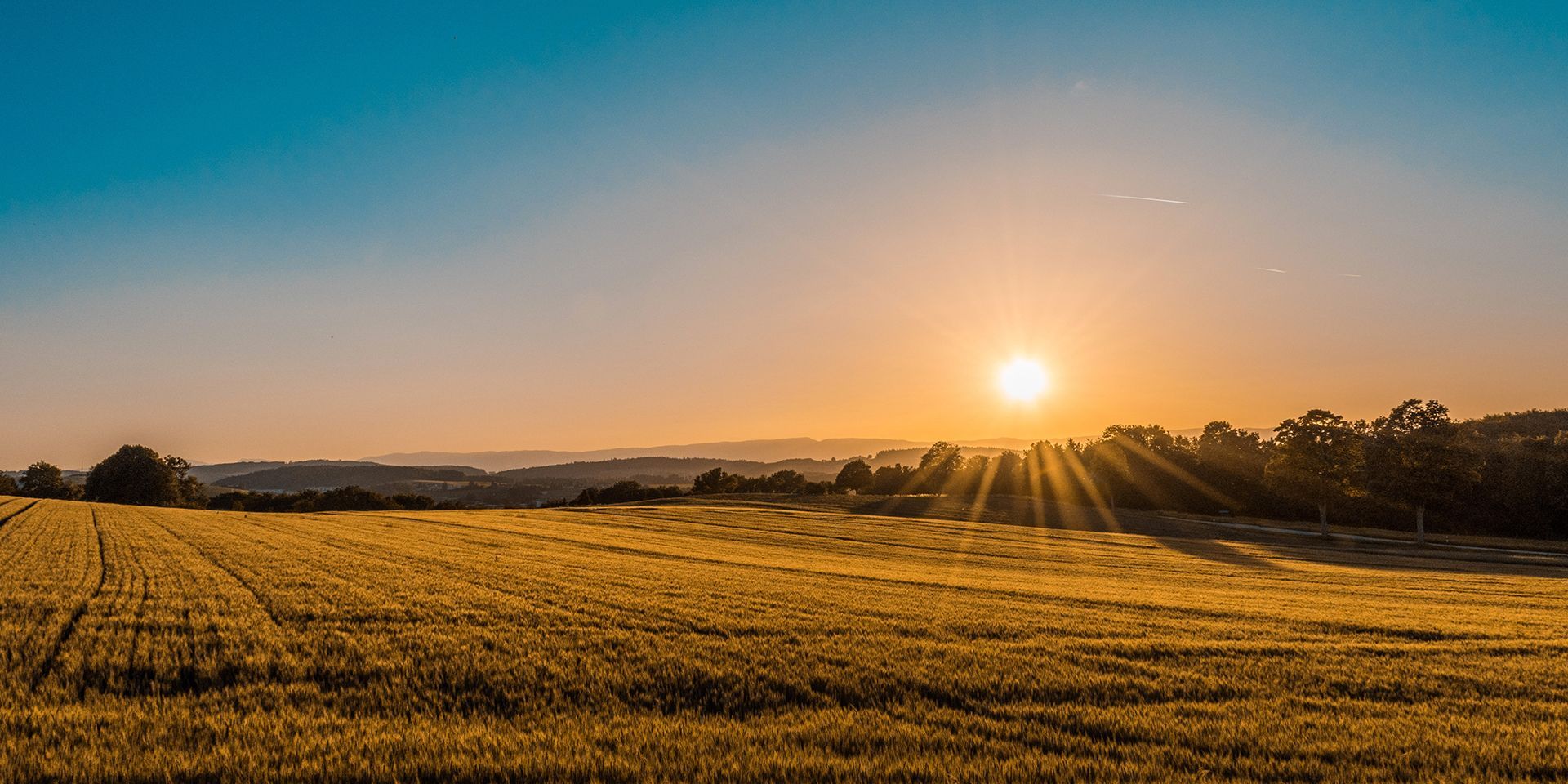
High pressure builds for the weekend
As we move into the weekend, a more significant change takes place. The jet stream begins to shift northwards, allowing high pressure to build from the south.
This brings a drier and warmer weekend for many. Saturday will see a more settled day weather across southern areas, with some sunny spells developing. Northern areas may still see some cloud and occasional rain early on, but conditions are expected to improve here too later in the day.
We've started the week under a cool and showery pattern
— Met Office (@metoffice) June 10, 2026
Tomorrow, an area of low pressure will move in, bringing a spell of rain
By the weekend, the jet stream is expected to shift northwards, allowing high pressure to build and conditions to become warmer and more settled 🌡️ pic.twitter.com/wLXqOKyzpo
Temperatures will respond quickly, climbing into the low to mid-20s for many, with the warmest conditions likely across the south and southeast where values could reach the mid-20s.
Sunday looks set to be widely dry across the UK, with further sunshine and temperatures continuing to rise. In the southeast, temperatures may reach the mid-20s once again, bringing a notably warmer feel compared to earlier in the week.
Warm but changeable into next week
Into the early part of next week, high pressure is expected to linger for a time, maintaining relatively settled and warm conditions. However, this area of high pressure is likely to drift eastwards, allowing low pressure to reassert itself to the west of the UK.
This setup brings a more mixed picture, with southern and southeastern areas likely to experience longer spells of dry and warm weather, while the north and west see more in the way of cloud and rain.
Despite the increasing influence of low pressure, winds are expected to have a southerly component, helping to keep temperatures above average for the time of year across many parts.
READ MORE: Festival forecast: unsettled start, improving into the weekend
A developing northwest–southeast split
A key feature of the outlook for next week is the emergence of a northwest–southeast split in conditions. Northern and western areas are more likely to see higher rainfall totals and more cloud, particularly as weather fronts move in from the Atlantic.
Further southeast, drier weather is expected to dominate more often, although some frontal systems may still bring occasional rainfall.
Temperatures will reflect this pattern, with the warmest conditions most likely across central, southern and eastern England. There is even the potential for very warm or locally hot weather later in the period if high pressure becomes more influential again.
Outlook towards the end of the period
Confidence decreases towards the end of the ten-day period, with some uncertainty around how dominant high pressure will be. While there is a chance of more settled conditions returning more widely, it is equally possible that the mixed pattern persists.
Overall, the trend points towards warmer conditions than those experienced at the start of June, with a balance of dry and sunny spells, particularly in the south, and more changeable weather in the north and west.
Keep up to date with weather warnings, and you can find the latest forecast on our website, on YouTube, by following us on X and Facebook, as well as on our mobile app which is available for iPhone from the App store and for Android from the Google Play store.