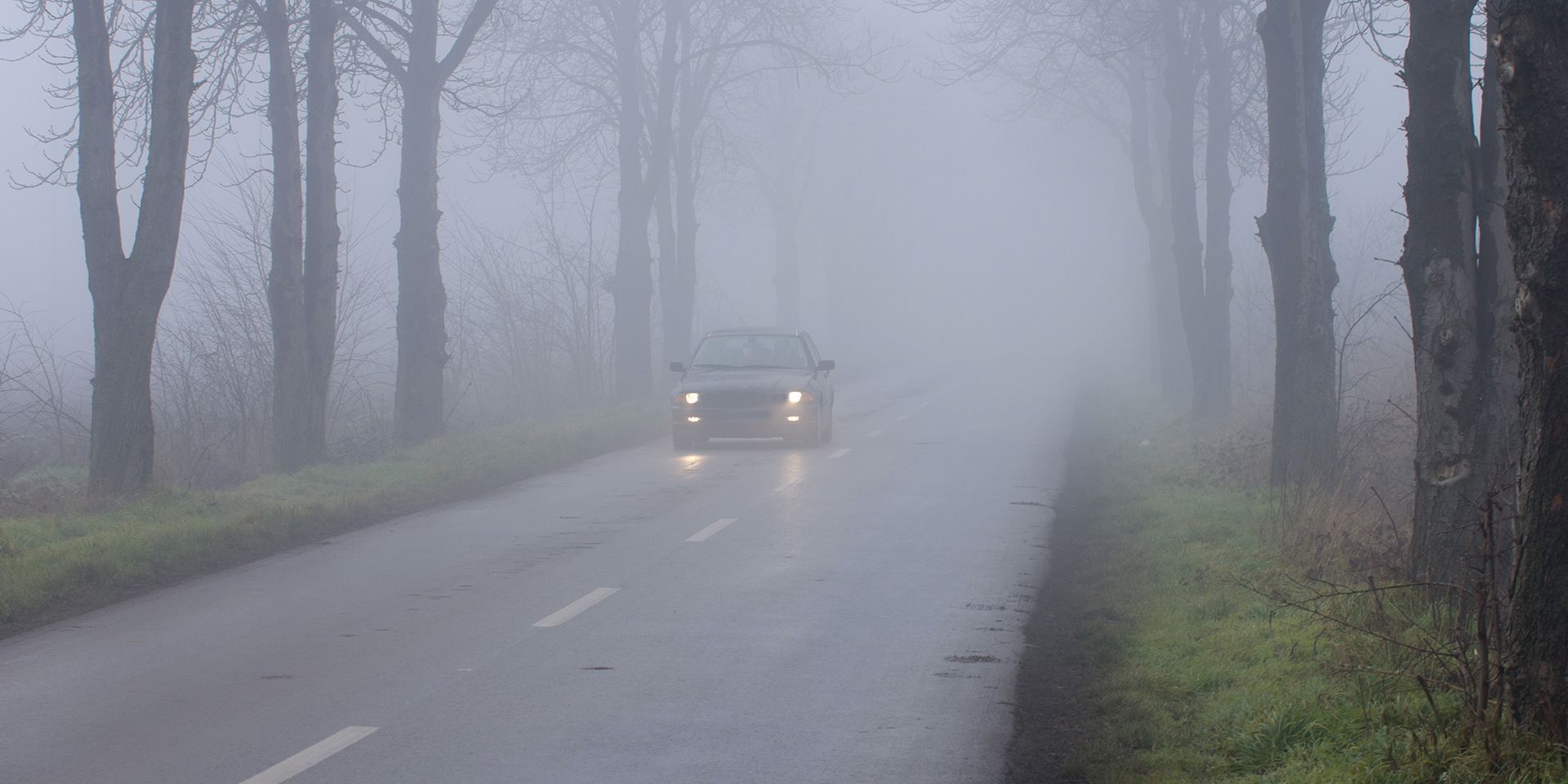
Fog can transform familiar surroundings in a matter of minutes, reducing visibility and creating difficult conditions on roads, at airports and across other transport networks.
But while weather warnings for wind and rain are familiar sights in the UK, how unusual is it for the Met Office to issue a warning for fog?
Fog warnings are less common than warnings for some other weather hazards, largely because fog is strongly linked to particular atmospheric conditions and times of year. However, they are not exceptionally rare. When widespread or dense fog is expected to cause disruption, warnings can be issued to help people prepare.
When is fog most likely in the UK?
Fog can occur at any time of year, but it is most frequently associated with autumn and winter. Longer nights give the land more time to cool, while clear skies and light winds can allow temperatures near the ground to fall sufficiently for water vapour to condense into tiny droplets.
These droplets remain suspended close to the surface, effectively creating a cloud at ground level. In meteorological terms, fog is present when visibility falls below 1,000 metres. For public forecasts, however, fog generally refers to visibility below around 180 metres, when its effects become more noticeable and potentially disruptive.
Dense fog occurs when visibility falls below 100 metres. At this point, journeys can become considerably more difficult, particularly during busy commuting periods. Severe disruption to road transport can occur when visibility drops below 50 metres.
Why are fog warnings less common?
Unlike large areas of wind or rain, fog can be highly localised. Visibility may vary significantly over a relatively short distance, meaning conditions can be clear in one place but much poorer nearby.
Fog is also difficult to forecast precisely. It develops when moist air cools to its dew point, the temperature at which water vapour condenses into liquid droplets. Small differences in temperature, wind speed, cloud cover and moisture can determine whether thick fog forms, remains as less-dense mist or fails to develop.
This sensitivity makes forecasting the location, density and duration of fog particularly challenging. Some fog clears soon after sunrise as the ground warms, but in colder and calmer conditions it can remain well into the afternoon. On occasion, especially during January and February, fog can persist for several days and cause disruption at airports and on the roads.
Fog warnings may therefore appear less frequently than wind or rain warnings, but they are issued when the conditions and expected impacts justify them. Their seasonal nature means people are more likely to encounter them during the colder months.
What is the difference between fog and mist?
The main difference is visibility. Fog is recorded when visibility is below 1,000 metres, while mist describes conditions in which visibility remains at or above 1,000 metres. Mist is generally less dense and often disperses more readily when the wind increases.
Haze is different again. Rather than suspended water droplets, haze consists of extremely small, dry particles such as dust, smoke or pollution. These particles can reduce visibility and give the atmosphere an opalescent appearance.
Staying safe when fog is forecast
Fog can develop locally and may not be present at the start of a journey. Drivers should check the latest forecast and allow additional time where poor visibility is expected.
The Highway Code says headlights must be used when visibility is seriously reduced, generally when drivers cannot see for more than 100 metres. Before travelling in fog, motorists should also ensure their lights, including fog lights, are working correctly.
Fog warnings may not be as familiar as those for wind or rain, but they provide important notice of conditions that could affect journeys. During autumn and winter, keeping up to date with the forecast can help people prepare before visibility deteriorates.
READ MORE:
10-day trend: High pressure brings largely dry and settled weather
How long will high pressure keep the UK dry?
Deep dive: Turning calmer and foggier after recent storms?
Halloween weather extremes: Howling winds and bitter chills
Keep up to date with weather warnings, and you can find the latest forecast on our website, on YouTube, by following us on X and Facebook, as well as on our mobile app which is available for iPhone from the App store and for Android from the Google Play store.