July 2026 will be remembered as one of the most remarkable weather months in modern UK records.
While many people enjoyed long spells of sunshine and warm weather, the statistics behind the month tell an extraordinary story of record-breaking warmth, exceptional sunshine and an acute lack of rainfall across many parts of the country.
This week’s weather also highlights another notable feature of the UK climate: striking regional contrasts. While rain is expected in parts of Scotland, Northern Ireland and northern England over the coming days, many areas further south are likely to remain comparatively dry.
A month of records
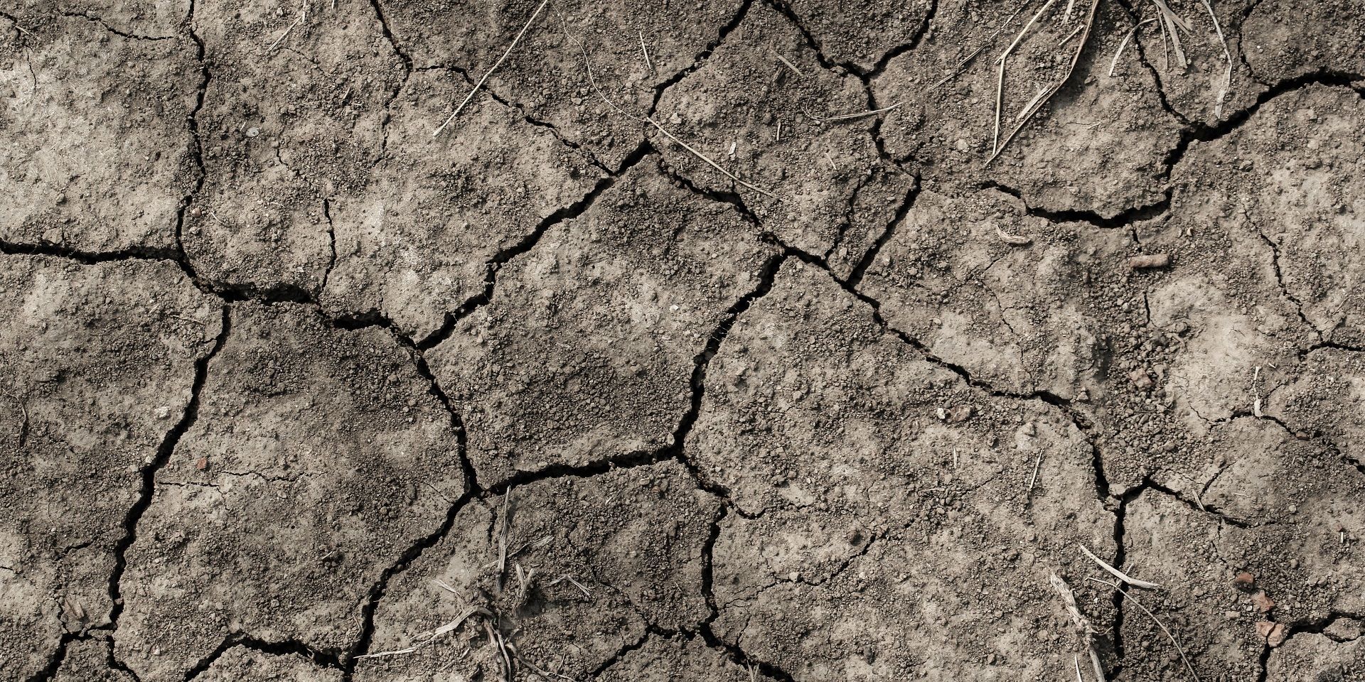
At a UK level, July was the third driest July on record and the sunniest July ever recorded. However, these national figures only tell part of the story. The rainfall distribution across the country was highly uneven, with some parts of Scotland experiencing near-average conditions while much of England and Wales saw exceptionally low rainfall totals.
Large areas of England and Wales recorded 20% or less of their typical July rainfall, making it the driest July on record for both countries. Scotland, by contrast, was less remarkable from a rainfall perspective and did not feature among its ten driest Julys.
Sunshine was another standout feature. The UK recorded its sunniest July on record, while England and Wales experienced their sunniest month of any kind in the observational record, surpassing the exceptionally sunny conditions seen in May 2020.
Persistent warmth throughout July
One of the most striking aspects of the month was the consistency of the warmth.
Across England and Wales, average daily maximum temperatures remained above normal on every single day of July. There was not a single day when average maximum temperatures fell below the long-term average.
READ MORE: July 2026 weather stats: A regional breakdown
The month also added to what has already been a remarkable year for heat. Numerous temperature thresholds have been reached unusually frequently during 2026, with the number of days exceeding 30°C already equalling the long-standing benchmark set in 1995 despite much of August and early autumn still lying ahead. Several higher temperature categories have also been either matched or exceeded compared with previous years.
Rather than being driven by one short-lived extreme event, the warmth has been notable because it has occurred repeatedly throughout the year.
Southern England’s extraordinary month
While July was remarkable across much of the UK, southern England experienced particularly exceptional conditions.
Analysis of temperature, rainfall and sunshine records shows July 2026 standing apart from almost every other month in the historical record for the region. The combination of extreme warmth, dryness and sunshine makes it one of the most unusual months observed in southern England.
The statistics are remarkable. Southern England recorded just 1.9mm of rainfall during the month, equivalent to only 3% of average rainfall. It also recorded 333.7 hours of sunshine, making it the sunniest month on record, while the mean temperature of 20.1°C established a new benchmark for warmth.
Taken together, these figures mean July 2026 was not simply the warmest, driest and sunniest July for southern England, but the warmest, driest and sunniest calendar month on record for the region.
Why was July so dry?
The answer lies largely in the location and persistence of high pressure.
Throughout much of July, areas of high pressure frequently dominated conditions across England and Wales. While weather fronts occasionally brushed northern parts of the UK and brought rainfall to Scotland, Northern Ireland and later some western areas, high pressure repeatedly re-established itself further south.
READ MORE: Why has it been so dry recently?
By the middle of the month, high pressure had become firmly established across large parts of the UK, keeping weather systems away and greatly reducing opportunities for rainfall. Even when fronts returned to northern Scotland later in July, southern regions stayed largely dry.
This prolonged pattern created not only rainfall deficits but also increasingly dry ground conditions.
Contrasting seasons
What makes the recent dry spell particularly noteworthy is how different it has been from conditions earlier in the year.
England and Wales experienced a notably wet autumn and winter, with rainfall totals well above average between October and March. Since April, however, rainfall has consistently tracked below average, producing a marked contrast between the two halves of the year.
A similar pattern has been observed in eastern Scotland, while northern Scotland has been comparatively wetter during the spring and summer period. These regional differences continue to play a significant role in the impacts being experienced across the UK.
Soil moisture levels illustrate the contrast particularly clearly. Parts of northern and western Scotland continue to retain abundant moisture, while extensive areas of England and Wales have very low soil moisture levels, reflecting the prolonged lack of rainfall.
Is rain on the way?
There is some rain expected through the remainder of the week, but it is unlikely to be distributed evenly.
A series of weak weather systems will move across the UK, bringing showers and longer spells of rain to northern and western regions. Scotland, Northern Ireland and parts of northern England are expected to receive the most significant totals, with rainfall accumulations continuing to build through the week.
Further south, rainfall looks far less substantial. While isolated showers may occur, large parts of the Midlands, East Anglia and southern England are expected to see very little meaningful rain, despite these being the areas where rainfall is needed most.
There is, however, a notable change on the way. A cold front moving southwards across the UK is set to introduce fresher air, reducing humidity levels and bringing temperatures back closer to seasonal averages. While this will not solve the rainfall deficit, it will make conditions feel considerably more comfortable for many.
For now, the headline remains unchanged: significant rain is likely for some northern and western areas, but many parts of England and Wales continue to wait for the widespread rainfall needed to ease the exceptionally dry conditions that have developed over recent months.
https://www.youtube.com/watch/m-omXmID0LE?start=0Keep up to date with weather warnings, and you can find the latest forecast on our website, on YouTube, by following us on X and Facebook, as well as on our mobile app which is available for iPhone from the App store and for Android from the Google Play store.