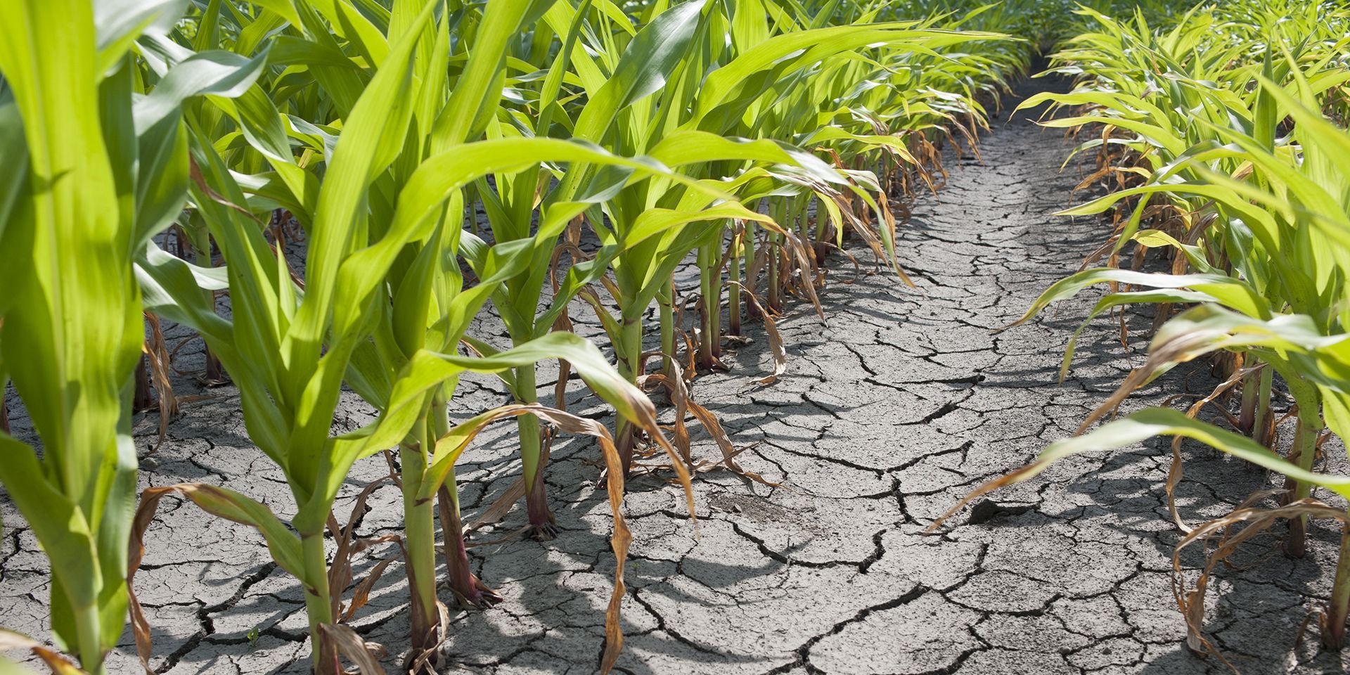
After an exceptionally dry July for many, questions are understandably being asked about why rainfall has been so limited and whether there is any meaningful rain on the way.
England and Wales have provisionally recorded their driest July on record, while southern England has seen its driest month ever recorded in a rainfall series dating back to 1836. These remarkable conditions come after a summer already marked by several heat records, contributing to drought conditions affecting all of Wales and around half of England.
Although 2026 has not been dry throughout, the recent lack of rainfall has been notable. So far this year, January, February, March and June have all seen above-average rainfall, while April, May and July have been drier than average. The issue has therefore been less about a whole year without rain and more about the timing, persistence and distribution of recent dry weather.
Persistent patterns have kept rain away
The main reason for the recent dry weather has been the persistence of weather patterns that have kept the wettest conditions away from the areas that need rain most.
Through much of July, the dominant pattern largely restricted rainfall to northern parts of the UK, while southern regions saw very little rain, often receiving only a small fraction of their typical monthly average. This meant that even when the UK as a whole saw some unsettled weather at times, rainfall was not evenly spread.
In summer, this can be particularly important. Showers and rain bands may bring locally heavy rainfall in some areas, but leave others almost completely dry. If the same broad pattern repeats over several weeks, rainfall deficits can build quickly. Southern and eastern areas are especially vulnerable in this type of setup, because they can often sit on the drier side of weather systems while the north and west see more frequent rain.
READ MORE: July 2026 weather stats: A regional breakdown
The role of heat
The dryness has also been intensified by heat. July was characterised by back-to-back heatwaves and exceptionally warm temperatures, which worsened the dry conditions by drying out soils and increasing pressure on water resources.
When temperatures are high, evaporation increases and soils lose moisture more quickly. This means that dry conditions can become more severe even without a complete absence of rain. Warm, sunny and breezy weather can all accelerate the loss of moisture from the ground, vegetation and water bodies.
The result is that rainfall deficits become more noticeable. Gardens, farmland, river catchments and reservoirs can all come under increasing stress, especially when warm conditions follow an already dry spell. That is why recent heat has played such an important role in how dry the summer has felt and in the development of drought conditions across Wales and parts of England.
Is significant rain on the way?
There is some rain in the forecast, but not everywhere will benefit equally.
The current outlook indicates that Thursday and Friday will be dry for many, before rain affects northern and western parts over the weekend. Dry conditions are expected to continue throughout for much of the south and southeast, where rainfall deficits are among the most notable.
Thursday is expected to bring a few showers during the morning, with more persistent light rain at first in northeast Scotland. Elsewhere, it will be widely dry and sunny, with breezy conditions for many and daytime temperatures generally a little below normal.
READ MORE: Week ahead: A change in the weather, but not for everyone
Friday looks widely dry after a chilly start, with sunny spells and variable amounts of cloud. It will be cloudier across Scotland, with rain moving into northwestern Scotland through the day. Winds will remain noticeable, especially in the northwest, while temperatures will be near normal for many but still a little below normal in the north and northwest.
Rain mainly for the north and west
By Saturday, rain across western Scotland is expected to spread south-eastwards, bringing wet conditions to windward-facing upslopes in Northern Ireland, western Scotland and later northwestern England. Much of England and Wales is expected to remain dry and warm.
On Sunday, the band of rain is likely to continue moving southeast, though it may ease with time. Southern areas are expected to remain mostly dry, although cloud may increase with perhaps some patchy rain later. Further north, sunshine and showers will follow the rain band.
So, while some rain is on the way, it is unlikely to provide a widespread solution to the recent dryness. The north and west are most likely to see significant rainfall, while much of the south and southeast may continue to miss out on meaningful rain.
Keep up to date with weather warnings, and you can find the latest forecast on our website, on YouTube, by following us on X and Facebook, as well as on our mobile app which is available for iPhone from the App store and for Android from the Google Play store.