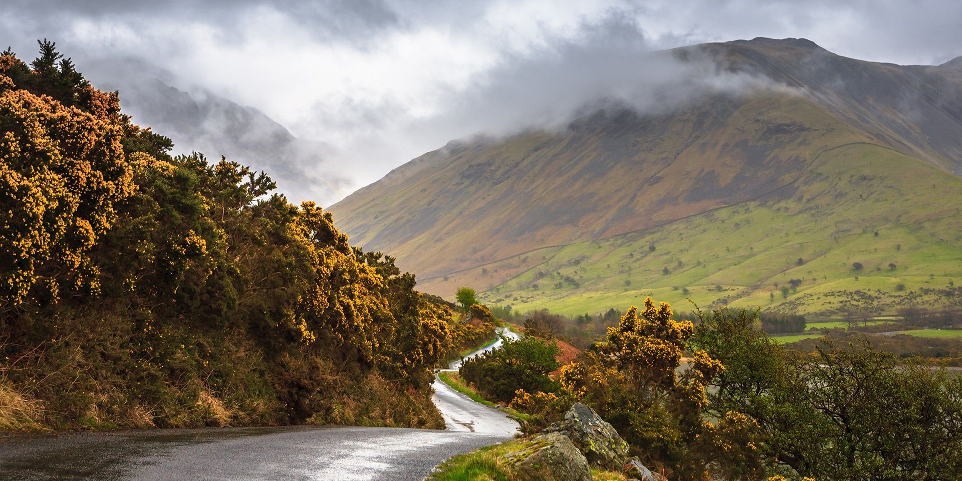
After an exceptionally unsettled spell featuring Storm Austen, Storm Boelo and a further period of wet and windy weather, the UK’s weather pattern is beginning to change.
High pressure is expected to bring calmer and drier conditions to many places, but fog could become an increasing hazard as Halloween approaches.
How powerful were Storm Austen and Storm Boelo?
Storm Austen affected southern parts of the UK before moving eastwards, while Storm Boelo passed to the northwest and brought its strongest impacts to northern and western areas. Both systems produced heavy rain and strong winds, although their tracks meant the most significant conditions were experienced in different regions.
Provisional observations from Storm Austen recorded a maximum gust of 69 knots on the Isle of Wight, equivalent to the mid-70s mph. Gusts of 66 knots were also recorded on the Isles of Scilly, with other exposed locations in Wales and Dorset experiencing strong winds. The lowest pressure associated with the storm was recorded at 975 hPa on the Isles of Scilly.
Storm Boelo was a deeper area of low pressure, with an observed pressure of 948.1 hPa. Some exposed locations recorded gusts in the low 70s knots, equivalent to the high 70s or low 80s mph.
Heavy rain was another feature of both storms. Abbey St Bathans in Berwickshire recorded 77.6 mm during Storm Austen, while 134.4 mm was recorded in Ross and Cromarty during Storm Boelo. The rain associated with Storm Boelo remained over some areas for longer, allowing totals to build.
Why did the storms intensify?
The jet stream played an important role in the development of both storms. This fast-flowing ribbon of air, typically located around 9 to 16 kilometres above the Earth, helps to steer weather systems across the Atlantic. Its strength is linked to the temperature contrast between colder polar air and warmer tropical air.
During Storm Austen’s development, winds in the jet stream reached around 200 mph. The developing low moved into a favourable region known as the left jet exit, where rising air can cause surface pressure to fall rapidly.
Storm Austen’s central pressure dropped by around 30 hPa in 24 hours, meeting the criteria for explosive cyclogenesis, sometimes referred to as a “weather bomb”. This rapid deepening helped generate the storm’s powerful winds. A similar interaction with the jet stream supported the development of Storm Boelo, although the jet stream was positioned farther north.
Why was the next low-pressure system not named?
A further spell of wet and windy weather brought wind gusts of around 60 to 70 mph to some exposed locations, but the system was not named.
Storms are not named according to one wind-speed or pressure threshold. The decision is based on the likelihood of significant impacts. Although the system produced comparable winds and prompted a weather warning, the likelihood of significant disruption was lower. A storm can still be named when only yellow warnings are issued, but the expected impacts must justify naming it.
Is the UK weather becoming more settled?
The jet stream remains wavy, but its position is helping a ridge of high pressure build across the UK. This is expected to block the most active Atlantic low-pressure systems, bringing lighter winds and drier weather for many places.
A weather front may still bring rain into northern and north-western areas around Friday and Saturday, while southern and south-eastern parts are more likely to remain influenced by high pressure. The exact location of the rain remains uncertain, but Halloween could be wet in some areas.
Why could fog become the next weather hazard?
Calmer weather does not necessarily mean hazard-free weather. Clearer skies, lighter winds and moisture feeding in from the North Sea will create favourable conditions for fog, particularly overnight and during the early mornings.
Fog may become slow to clear in prone locations, causing difficult driving conditions. High pressure is expected to remain influential into early November, especially across southern Britain, so the recent stormy weather could give way to a quieter but increasingly misty and foggy pattern.
READ MORE:
Halloween weather extremes: Howling winds and bitter chills
Where were Storm Austen’s strongest wind gusts recorded?
What does it take for a storm to be named?
Weather bombs: What causes explosive cyclogenesis?
Keep up to date with weather warnings, and you can find the latest forecast on our website, on YouTube, by following us on X and Facebook, as well as on our mobile app which is available for iPhone from the App store and for Android from the Google Play store.