The first 10-day trend of 2026 brings a dynamic mix of weather, with something for everyone.
The forecast period begins with high confidence, thanks to the current position of the jet stream, a fast-moving ribbon of air high in the atmosphere. This jet stream is fragmented, which is crucial for the development of Storm Goretti.
Storm Goretti approaches
Through Thursday, Storm Goretti will rapidly develop as it approaches the southwest of the UK. The storm is expected to intensify quickly, with tightly packed isobars bringing very strong winds, especially across southwest England. Gusts of 70–80 mph are possible, with the potential for 100mph. The strongest winds are likely on the southern flank of the storm, affecting the Channel Islands and northern France. Several weather warnings are in place.
Rain, snow, and biting winds
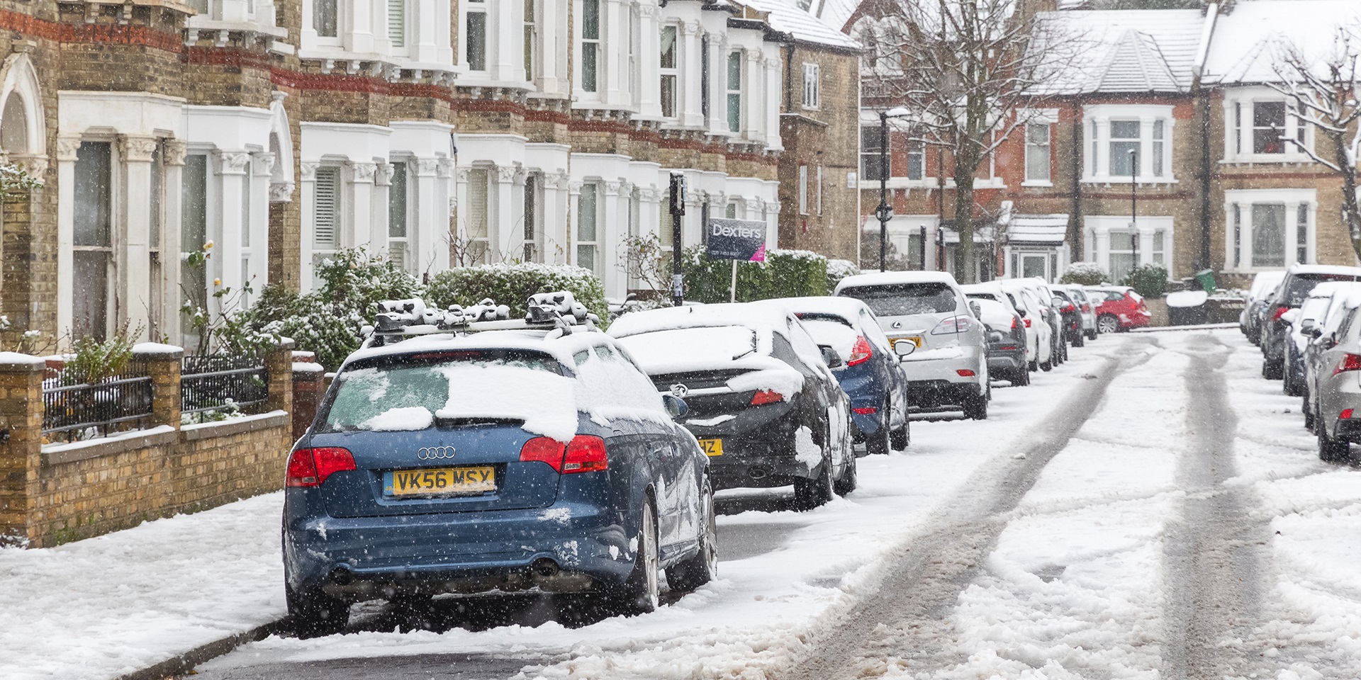
Heavy rain will arrive across southwest England and South Wales on Thursday, spreading eastwards. As the system encounters colder air, the risk of snow increases—initially over the hills of South Wales, then potentially into the Midlands. The intensity and persistence of the cold air will determine how much snow falls and where it settles.
READ MORE: How does the Met Office work with government, emergency and defence partners?
By Friday, eastern England will experience a cold, blustery day, with rain and a biting wind making it feel even colder than the thermometer suggests. Temperatures will struggle to reach 4–5°C, and the wind chill will make it feel colder still. Further west, conditions will dry out, but icy patches may linger where snow has fallen overnight.
A brief respite for the weekend
Saturday is expected to be the driest and brightest day for many, although another area of low pressure will bring gusty winds and potentially more snow to northern Scotland. Most other areas will remain dry, offering a welcome break from the unsettled conditions.
Uncertainty grows from Sunday
On Sunday, another area of low pressure will move in from the Atlantic, bringing a broad swathe of milder air. The timing of this milder air is crucial. As it pushes in, it will meet colder air already in place, raising the risk of further snowfall, especially in western areas late Sunday and potentially moving east overnight. Forecast models show a range of possible outcomes, with some keeping the cold air in place longer and others bringing in milder air more quickly.
READ MORE: December 2025 weather stats: A regional breakdown
The battleground: cold versus mild
Early next week, the UK will find itself in a battleground between dense, cold air and milder, wetter air from the Atlantic. Where these air masses meet, there is a real likelihood of further snow, potentially heavy in places. However, it is too early to pinpoint exactly where and when this will occur.
Beyond the weekend, the forecast becomes increasingly uncertain. Model runs for the middle and end of next week show a variety of possible scenarios: some keep the cold air entrenched, others bring temperatures closer to average with low pressure dominating. Probability maps for temperatures above 5°C next Thursday show low chances in northern Scotland and a 50/50 split further south, highlighting the difficulty in making precise predictions.
Keep up to date with weather warnings, and you can find the latest forecast on our website, on YouTube, by following us on X and Facebook, as well as on our mobile app which is available for iPhone from the App store and for Android from the Google Play store.


