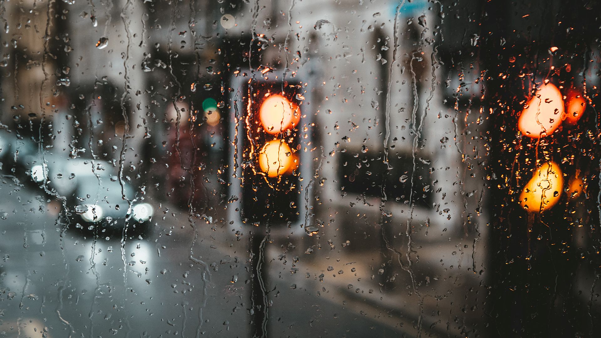
This winter has brought an extraordinary spell of weather across the UK, marked by striking contrasts, record‑breaking rainfall in some regions and an unusually stubborn atmospheric pattern that has refused to shift.
In this week’s Met Office Deep Dive, we take a closer look at the rainfall statistics, the geographical disparities, and the atmospheric drivers behind the relentless wet conditions felt by many.
A season of extremes
Since the start of the year, the UK has seen an exceptional distribution of rainfall. Some regions have endured repeated bouts of heavy rain, while others, surprisingly, have been remarkably dry. Rainfall totals from 1 December to 9 February already exceed the average rainfall for the whole winter in a broad swathe of locations.
Areas such as eastern Northern Ireland (especially County Down), the south and southwest of England, south Wales, the Midlands, northeast England and east Scotland have all recorded significantly higher‑than‑average seasonal rainfall, with some locations exceeding one‑and‑a‑half times their winter norm. In parts of East Devon, Dorset, County Down and eastern Scotland, the wettest areas have already surpassed those thresholds with nearly three weeks of winter still to go.
February’s exceptional early rainfall
The first nine days of February alone have further highlighted the extremity of this pattern. Several regions, again including south and central England, County Down, eastern Scotland and northeast England, have already reached or exceeded their entire February average rainfall within the opening days of the month.
In eastern Scotland, for example, some locations have recorded 175% to 200% of their typical February rainfall in just over a week. And more rain is still expected.
READ MORE: How much rain have we had so far this winter?
Stark contrasts across Scotland
Perhaps the most astonishing contrasts lie across Scotland, where the usual climatological pattern has been flipped. The east has been exceptionally wet, while the northwest, typically among the wettest parts of the UK in winter, has seen barely any rain at all.
Data from the early days of February illustrate this dramatically:
- Aberdeen recorded 120 mm in the first nine days.
- Aboyne recorded 107 mm.
- Aviemore, on the opposite side of the Cairngorms, recorded only 1.8mm.
In Kinloss and Lossiemouth, totals barely exceed 1mm, and at Aultbea, the period between 18 January and 7 February saw zero rainfall, a run of 21 consecutive dry days in a region typically accustomed to persistent winter rainfall. This marks a local record.
Meanwhile, eastern and central Scotland have been trapped under days of persistent rain, including record‑breaking runs of consecutive wet days, 24 in places such as Boyne and Inverbervie, surpassing records dating back to the 1980s.
Why has this happened?
To understand why this weather pattern has become so entrenched, we need to look beyond the UK to the broader North Atlantic region.
Analysis of temperature anomalies between 20 January and 3 February shows marked warmth across northern Canada and Greenland and unusually cold conditions across parts of the USA, Scandinavia and northeast Europe. This sharp contrast has strengthened the jet stream, effectively the atmosphere’s conveyor belt of weather systems, producing a more powerful flow than normal.
However, it’s not just the strength of the jet stream that matters, it’s the position. Typically, the winter jet stream emerges from North America and arcs north-eastwards toward Iceland and Scotland. This year, though, the jet stream has been pushed unusually far south. Warmer‑than‑average conditions over Greenland have raised pressure in the region, diverting the jet stream away from its usual path. Instead, it has been funnelled into Iberia, shifting the storm track well south of the UK.
The resulting weather pattern: systems stuck over the UK
With the jet stream displaced, low‑pressure systems emerging from the Atlantic have been steered towards southwest Europe. When these systems reach the UK, another factor comes into play: a block of cold air over Scandinavia. This block prevents weather systems from progressing eastwards. Instead, they stall over the UK, particularly affecting the south, southwest, Northern Ireland and eastern Scotland.
This has produced:
- Repeated rain events in the south and southwest.
- Persistent cloud and rain in northeast Scotland and northeast England.
- Remarkable dry spells in the northwest Highlands due to a pronounced rain‑shadow effect.
By animating the forecast maps for the week, we see fronts arriving from the southwest and repeatedly becoming trapped across eastern and central Scotland. As the systems pile up, persistent southeasterly winds will funnel moisture into the same regions again and again
READ MORE: Week ahead forecast: shifting patterns bring a colder end to the week
What this means for the days ahead
This entrenched pattern continues through Wednesday and early Thursday of this week. That means yet more rain for the areas already saturated. Weather warnings are in force for eastern Scotland, where an additional 30–50mm of rain may fall through Tuesday and 30-40mm through Wednesday, much of it transitioning to hill snow above 300-400metres.
Later in the week, a shift toward colder air from Scandinavia will further influence the pattern. As winds turn more easterly, colder air will gradually sink southwards, reducing rainfall in the northeast and increasing the likelihood of hill snow across northern England, Wales and Northern Ireland. Lower levels may see sleet at times, but accumulations will be confined primarily to higher ground.
A hint of change, but not a prolonged one
By Saturday, a brief ridge of high pressure brings a short‑lived window of drier, brighter and colder weather. Temperatures will fall into single digits nationwide, but conditions should feel much more pleasant compared with the relentless wet spells of recent weeks. This quieter weather will be fleeting, however, as another system moves in by Sunday, likely bringing further hill snow in the north before turning back to rain as milder air returns.
The good news is that next week’s pattern looks less stubborn. While unsettled weather will continue, systems should at least move through more quickly, offering some areas a much‑needed chance to dry out between fronts
Keep up to date with weather warnings, and you can find the latest forecast on our website, on YouTube, by following us on X and Facebook, as well as on our mobile app which is available for iPhone from the App store and for Android from the Google Play store.