Winter has truly arrived in the UK. From half a metre of snow in northern Scotland to temperatures plunging to -12.5°C in Marham, Norfolk, this week’s weather has been a reminder just how cold the UK's weather can get.
But how long will this wintry spell last, and what can we expect as the Atlantic tries to reassert itself? In this week’s Deep Dive, we’ll explore the latest conditions, the science behind the snow and cold, and what lies ahead for the UK’s weather.
A night of extremes: Record lows and deep snow
On Monday night, the UK experienced some of the coldest temperatures of winter so far. While Scotland is often the focus for such extremes, it was Norfolk that took the crown, with Marham recording a bone-chilling -12.5°C. Several other locations dipped below -10°C, including Dalwhinnie, Tulloch Bridge, Sandton Downham in Suffolk, Topcliff in North Yorkshire, and parts of north Wales and Cumbria. Even southern England wasn’t spared, with Bournemouth dropping to -8.5°C.
The reason for these remarkable lows in East Anglia and the southeast was clear skies, which allowed temperatures to plummet. In contrast, Scotland’s widespread snow cover could have led to even colder readings, but wind, rain, and cloud cover moderated the chill.
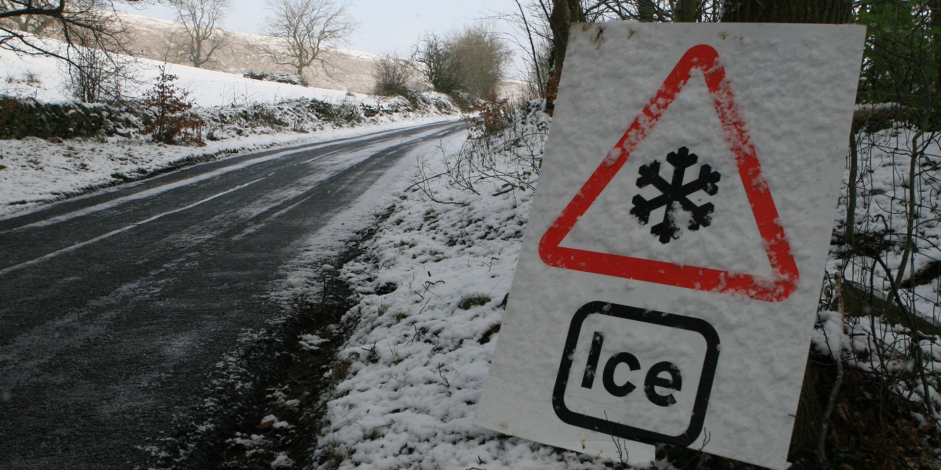
Snowfall: A tale of two countries
Not everyone in the UK has seen snow, but for northern Scotland, this has been one of the snowiest spells in living memory. Official recording stations have measured 52cm in Oyne (Aberdeenshire) and 50cm in Tomintoul (Moray). North and mid Wales have also seen significant accumulations, with Sennybridge reporting 13cm. North Yorkshire’s Whitby recorded 9cm.
READ MORE: December 2025 weather stats: A regional breakdown
Of course, these are official figures, and many will have seen more in their gardens or local parks. The variability across the country has been striking, with some regions facing severe disruption, especially Aberdeenshire, while others, particularly the Midlands and southeast, have barely seen a flake.
The science behind the snow: Arctic winds and precipitation
So why has there been such variation? The answer lies in the origin of the snow: Arctic winds. Very cold air, streaming directly from the North Pole, have impacted the UK. In these situations, the most exposed regions, northern Scotland, Northern Ireland, eastern England, north and mid Wales, and even parts of the southwest, bear the brunt. Inland areas, meanwhile, have enjoyed blue skies.
The relentless stream of showers has piled up snow in northern and northeast Scotland, while other areas have remained dry. But as this blog is being written, the weather is shifting, with the Atlantic making its first attempted comeback of the week.
The Atlantic’s comeback: Rain, sleet, and snow
This week, the UK will see three attempted comebacks from the Atlantic. The first system brings a relatively weak weather front from the northwest, starting as rain but quickly turning into a messy mix of rain, sleet, and hill snow as it collides with cold air. The mild air, originating just south of Greenland, isn’t warm enough to banish the snow entirely, resulting in a patchwork of precipitation types.
As the system moves south, most of England and Wales will see rain, but the cold air lingering in northeast Scotland means snow will persist at lower levels. The most significant issue for many will be ice, as clear skies and dropping temperatures overnight bring frost and slippery surfaces.
READ MORE: The year in weather: 2025
Midweek lull: Sunshine and cold winds
Thursday promises a brief respite, with fewer showers and more sunshine. However, it will remain cold, with “feels like” temperatures dipping below zero due to brisk winds. Deep snow will linger in northern Scotland, and another weak front will bring mostly rain to Northern Ireland and Wales, with a touch of hill snow.
Storm Goretti: A clash of air masses
The weather heats up again, figuratively, if not literally, as Storm Goretti, named by Météo-France, approaches. The jet stream, dormant during the recent northerly winds, becomes active, picking up Goretti and driving it towards the UK. The storm’s track is uncertain, but it’s likely to run along the south coast, bringing a sharp boundary between rain and snow. A number of weather warnings, including amber warnings for wind and snow, have been issued.
Computer models show a number of possible tracks. The difference between rain on the southern flank and snow on the northern flank is razor-thin, with the freezing level just a few hundred metres above sea level in some areas.
As Goretti’s rain pushes in, it will turn to snow across the Midlands, mid and south Wales, and possibly the far north of Devon and Somerset. The main chance of disruptive snow lies in Wales, the Midlands, and northern England, with accumulations of 10 to 20cm possible in the most exposed spots.
Further south, rain will dominate, but as the storm moves away and northerly winds return, even the southwest could see a brief spell of snow. London and the southeast are less likely to see significant accumulations, but alternative scenarios remain possible depending on the storm’s track.
READ MORE: Week ahead forecast: Arctic air and an Atlantic comeback
Northern Scotland will retain its deep snow, with only showery precipitation adding to the totals. The focus for disruption is firmly on Thursday’s system in the south.
Warnings and impacts: Snow, ice, and wind
Come Thursday evening, Storm Goretti will bring snow warnings for Wales, the Midlands, and northern England, with five to ten centimetres expected, and up to 20cm over higher ground. Wind warnings are also in place for the southwest, with gusts of 50 to 60mph, and even higher in the most exposed areas.
Looking ahead: A changing pattern
Friday sees an improving picture as the low moves away, with fine weather for many and lingering cold. Temperatures will remain low, especially where snow persists, and the weekend starts with crisp, sunny conditions and widespread frost.
But the Atlantic isn’t finished yet. A third and potentially final comeback is expected on Sunday, with another low approaching from the west. The interaction between rain-bearing fronts and cold air could bring further snow to some areas, though uncertainty remains.
Keep up to date with weather warnings, and you can find the latest forecast on our website, on YouTube, by following us on X and Facebook, as well as on our mobile app which is available for iPhone from the App store and for Android from the Google Play store.