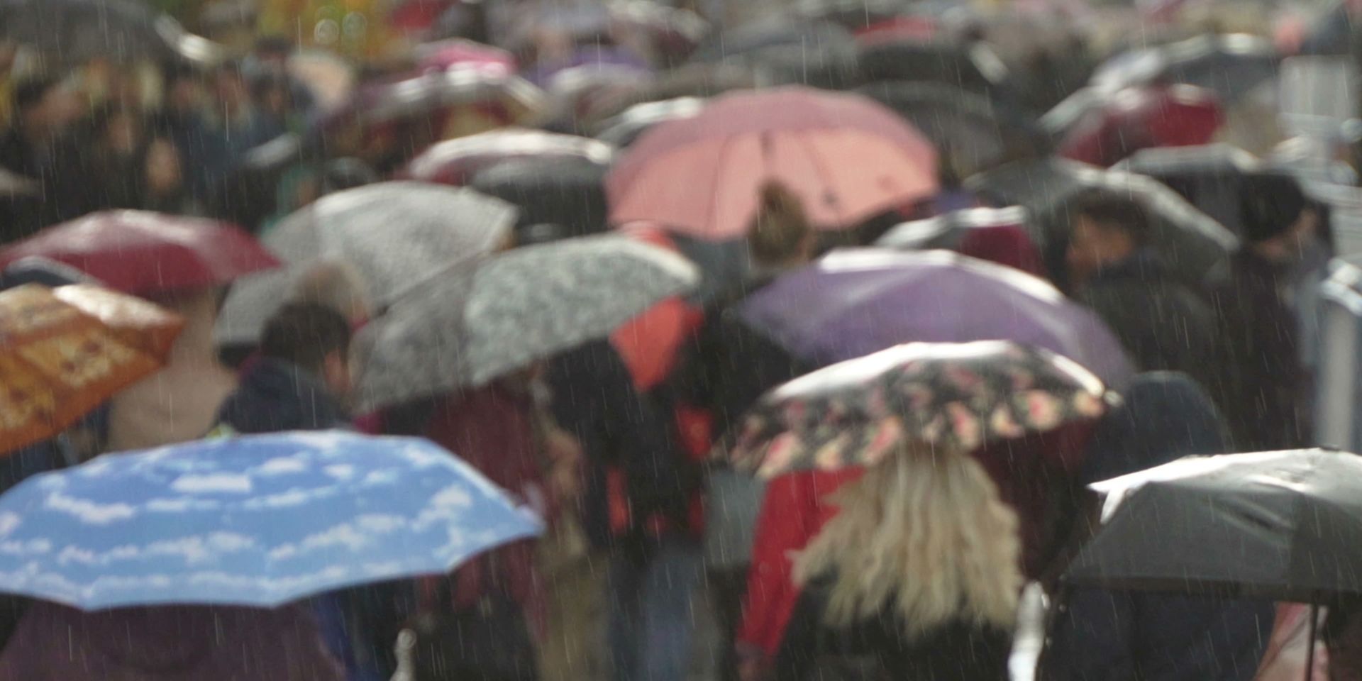
A changeable week of weather is expected across the UK, with bands of rain, blustery winds and heavy showers moving in from the Atlantic.
There will also be some drier and brighter interludes, particularly across parts of England and Wales, but low pressure will frequently influence northern areas.
The warm and humid air present at the beginning of the week will clear away, replaced by fresher north-westerly winds. Temperatures will consequently be lower for many places, although values may recover slightly towards the end of the working week.
Rain clearing southeast on Tuesday
Tuesday will begin with a weakening weather front moving southwards across England and Wales. This will bring a good deal of cloud and some outbreaks of rain, which could briefly become heavier before gradually clearing. Brighter conditions will follow, with sunshine developing across many areas by lunchtime, although a few showers will remain possible.
Conditions will be more unsettled further north. Strong winds and persistent rain will affect northeastern Scotland, while showers elsewhere across Scotland, Northern Ireland and northern England could be heavy and thundery. A cool north-westerly wind will add to the fresher feel.
Temperatures will be several degrees lower across England and Wales, reaching 21 to 23°C at best. Northern England, Northern Ireland and central Scotland will generally reach the high teens, while northern Scotland may only reach 14 or 15°C.
READ MORE: How 54 million historical weather records are being made globally accessible
Briefly quieter on Wednesday
Showers will continue across northern areas on Tuesday night, with a continued risk of thunder. However, a temporary ridge of high pressure will help to reduce the shower activity during Wednesday.
Wednesday morning will still bring showers to several areas, including Northern Ireland, Wales, southwest England and the Midlands. Some will move into central and eastern England later, but brighter breaks should develop between them. Western Scotland will have an improved start before cloud thickens and rain approaches later in the afternoon.
Temperatures will remain subdued, reaching around 18 or 19°C in the warmest areas. Much of England and Wales will see values in the mid to high teens, while northeastern Scotland may reach only 13 or 14°C in the cool breeze.
Wet and windy weather returns
During Wednesday evening and overnight, another area of rain will spread across the country as winds strengthen. Coastal gales are possible in western Scotland before the wet weather moves southwards into Thursday.
Thursday will begin wet across parts of eastern England, southeast Wales and southern England. Winds will be strong around western and southern coasts, with the most unsettled conditions across western Scotland and parts of Northern Ireland. Strong to near-gale-force winds are possible around exposed northern coasts.
The rain will gradually clear south-eastwards, allowing brighter spells to develop across central and eastern England later. However, frequent showers will continue across Scotland and Northern Ireland, sometimes merging into longer spells of rain. Showers will also affect northern England, northwest Wales and the Isle of Man. Temperatures will generally peak at 17 to 19°C.
READ MORE: Do changing seasons affect the jet stream?
Brighter spells developing on Friday
A ridge of high pressure should bring a brighter start to Friday across England and Wales. There will be a mixture of cloud and sunny spells, with mainly dry conditions in the east and a few showers possible further west. Temperatures could reach 19 or 20°C.
Scotland will remain more unsettled, with frequent showers and strong winds in the far north. Northern Ireland should begin largely dry, but showery rain may arrive later. Sheltered eastern Scotland could feel somewhat warmer, while temperatures will be lower beneath showers.
The mobile Atlantic pattern is expected to continue beyond Friday, with low-pressure systems passing to the north of the UK. Westerly winds will bring further rain or showers, although occasional ridges of higher pressure may provide some short-lived drier and brighter periods.
https://www.youtube.com/watch/98gBIqMWvJw?start=0Keep up to date with weather warnings, and you can find the latest forecast on our website, on YouTube, by following us on X and Facebook, as well as on our mobile app which is available for iPhone from the App store and for Android from the Google Play store.