As summer 2025 enters its final stretch, the UK’s weather has delivered a mix of summer warmth, some cooler periods and even the influence of Atlantic storms.
This week’s headlines reflect the changeable nature of the forecast, with dramatic phrases like “horror weather maps” and “heat blast” dominating online coverage. But what does the Met Office forecast actually say?
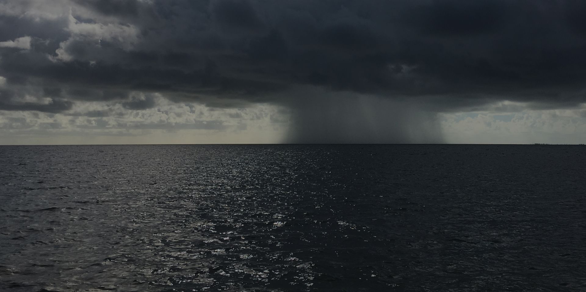
Is the UK bracing for a rainstorm?
“Horror weather maps show when 600-mile rainstorm will batter UK,” reads one headline.
What our forecast says: While the language is eye-catching, the forecast paints a more nuanced picture. Low pressure is expected to dominate early in the period, bringing spells of rain and showers, with the potential for windy conditions. However, confidence in deeper low-pressure systems near the UK is currently low. Drier and brighter spells are also likely, and temperatures may be above average at times, though broadly near-average overall. The chance of hot spells or heatwaves is reduced compared to earlier in August.
READ MORE: Met Office festival forecast: Largely dry but without the high temperatures
Will Britain be hotter than Ibiza?
“UK weather: Exactly when Britain will be hotter than Ibiza with major 31C heat blast forecast,” claims another headline.
What our forecast says: The forecast suggests a mobile Atlantic pattern with intermittent rain and showers. While temperatures may rise above average briefly, the overall outlook remains near-average. The reduced likelihood of heatwaves means that while some areas may experience warmth, it’s unlikely to rival Mediterranean conditions across the board.
Are temperatures set to plummet?
“Weather maps show exactly when UK temperatures to plummet to a bitter 4°C,” warns a headline.
What our forecast says: The forecast for Thursday through Saturday indicates a cooler start, especially under clear skies in western areas. However, daytime temperatures will rise to near-average levels. However, we could see overnight minimum temperatures across the north-western half of the UK tonight. Some Scottish Glens, the Pennines and Cambrians, might even see temps as low as 1°C or 2°C tonight. Temperatures during the day will be relatively supressed across the north to the low to mid-teens, and closer to average in the south, around the low to mid 20’s.
Eastern coastal areas may remain rather cool, but most places will experience dry conditions with variable cloud and sunny spells. By Saturday, temperatures are expected to be around or slightly above average, with light showers possible in some areas.
READ MORE: Will Hurricane Erin affect UK weather?
Is Hurricane Erin heading for the UK?
“UK set to be hit by rain and wind as Hurricane Erin moves across Atlantic,” suggests another headline.
What our forecast says: Hurricane Erin, currently a category three storm, is not forecast to make direct landfall in the UK. As it transitions into a mid-latitude low, it may be picked up by the jet stream and move towards northwest Scotland by next Tuesday or Wednesday. There is a low-probability risk of Erin, as a deep extra tropical depression, moving close to or across the UK. Although not technically a warm-cored hurricane, such a deep low would bring damaging winds.
Keep up to date with weather warnings, and you can find the latest forecast on our website, on YouTube, by following us on X and Facebook, as well as on our mobile app which is available for iPhone from the App store and for Android from the Google Play store.