As we approach the weekend, the UK is set for a dynamic spell of weather.
The latest forecasts are showing a combination of heavy rain, warmth, and a marked drop in temperatures is expected to affect much of the country.
Warnings in force
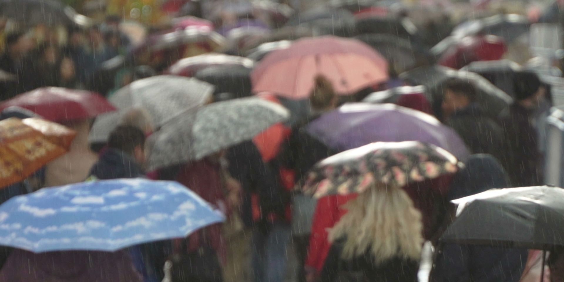
The first thing to note is the presence of Met Office weather warnings. These are in place for southern Scotland, parts of Northern England, and areas of North and West Wales. The warnings reflect the risk of persistent and, at times, heavy rainfall, which could lead to localised flooding and disruption to travel. If you are planning to travel on Saturday, especially in the evening, it is advisable to check the latest updates and consider your plans carefully, as conditions could deteriorate quickly.
⚠️ Yellow weather warning issued ⚠️
— Met Office (@metoffice) September 18, 2025
Rain across parts of Wales, England and Scotland
Saturday 0900 – Sunday 0600
Latest info 👉 https://t.co/QwDLMfRBfs
Stay #WeatherAware⚠️ pic.twitter.com/JoRfGQf2ub
The evolving weather pattern
The weekend’s weather is being driven by an area of low pressure developing to the southwest of the UK. This system is expected to push slowly northwards, but as of Friday, it has not fully formed, adding a degree of uncertainty to the precise location and timing of the heaviest rainfall. Nevertheless, confidence is high that a broad swathe of the country will see significant impacts.
On Saturday, a zone stretching across northern England, Wales, and southwest England is likely to start the day very wet. Bright radar colours will indicate some particularly heavy bursts of rain, which will gradually push further north, returning to Scotland as the day progresses. Northern Scotland, meanwhile, will see thicker cloud, showery rain, and a brisk northerly wind, making for a rather unsettled day.
Warmth in the south, but not for long
While the north contends with rain and wind, the south of England will remain relatively warm and humid for much of Saturday. There is the potential for one or two heavy, thundery showers, but sunny spells are also likely to break through at times.
Temperatures in the south could still climb above 20°C where the sun appears, though it will not be as warm as Friday. In contrast, areas stuck under the persistent rainband will feel much cooler, with highs of just 13 or 14°C. Across the far north of Scotland, some places may struggle to reach 10 or 11°C, especially with the brisk northerly wind.
Winds strengthen as low pressure develops
As the area of low pressure continues to develop and move northwards, winds will strengthen, particularly across parts of Wales and southwest England during Saturday afternoon. Gusty conditions are expected, with winds in the south coming from the south and those in the north coming from the north, creating a marked contrast in temperatures across the country.
Saturday night into Sunday: a colder turn
By Saturday night and into Sunday, the northerly winds will begin to dominate, bringing cooler air to all areas as the low pressure system finally pulls away. Gusty winds will persist in many regions overnight and into the first part of Sunday. The weather front will continue to bring thicker cloud and outbreaks of rain, which will trickle southwards during Sunday, adding to the chilly feel.
In the south, Sunday may start dry, but showers are likely to develop, particularly for Wales and southwest England. Showers feeding in on the northerly wind could even bring a little snow over the tops of the Scottish mountains.
READ MORE: 'Volcanic' heat maps? 600-mile wall of rain? Met Office weather headline review
Temperatures drop below average
The most noticeable change by Sunday will be the drop in temperatures. In the north, highs will struggle to reach 10 or 11°C, while further south, after being over 20°C on Saturday, some places will be 7°C, 8°C, or even 9°C lower by Sunday afternoon. These values are quite a bit below the seasonal average, especially across parts of the Midlands and eastern England, where cloud cover is likely to persist.
In summary, the weekend will bring a marked change in the weather, with heavy rain, gusty winds, and a significant drop in temperatures for all areas by Sunday. The Met Office advises everyone to keep up to date with the latest forecasts and pay particular attention to weather warnings, especially if you have travel plans or outdoor activities scheduled. Flooding and disruption are possible in the warning areas, and conditions could change rapidly.
Keep up to date with weather warnings, and you can find the latest forecast on our website, on YouTube, by following us on X and Facebook, as well as on our mobile app which is available for iPhone from the App store and for Android from the Google Play store.