September has begun with a notable shift in the UK’s weather pattern, delivering widespread rainfall across much of the country.
For many regions, the first two weeks have brought rainfall totals above what would typically be expected by mid-month. Yet, despite this soggy start, the legacy of a dry spring and summer continues to shape the year’s rainfall story, with every region remaining in a year-to-date deficit.
This week's Deep Dive with Aidan focuses on big weather pattern changes taking place during the next few days. The jet stream becomes more amplified leading to fewer but slow-moving lows (as well as highs).
— Met Office (@metoffice) September 16, 2025
Watch the full episode on YouTube 📹 https://t.co/kvAWEZQ1XI 👈
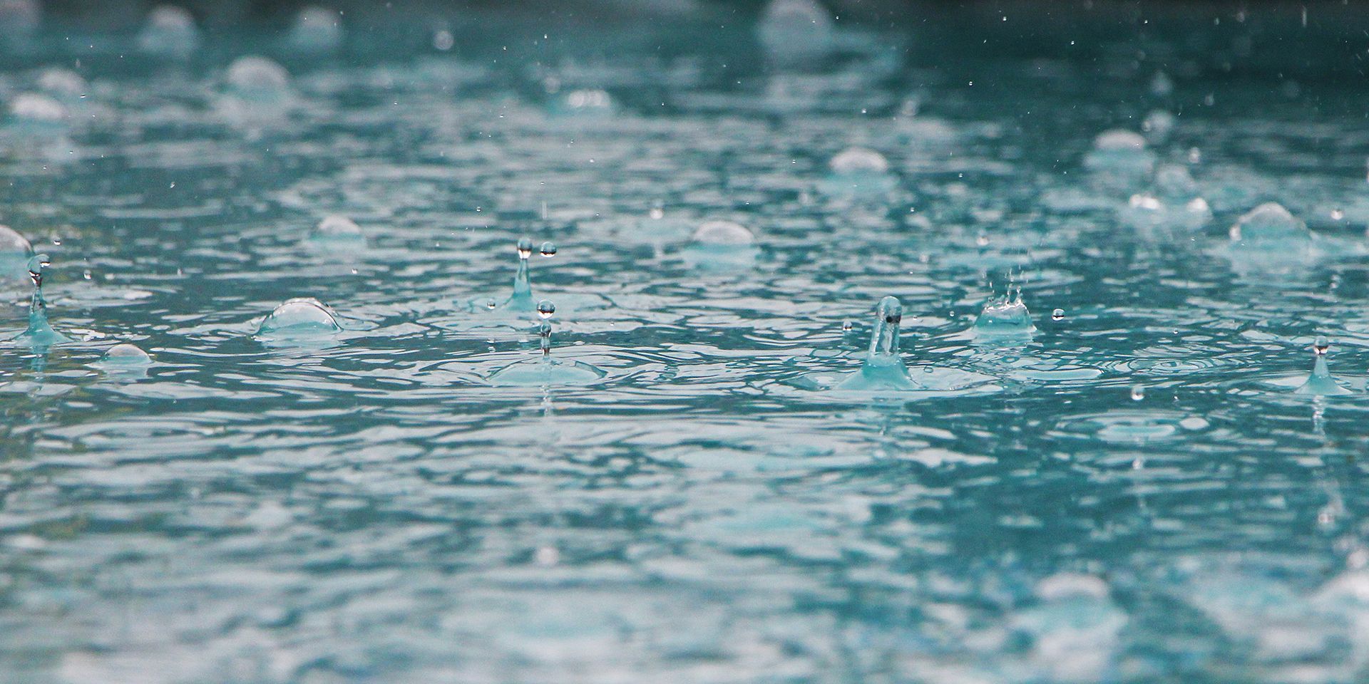
Above-average rainfall in many regions
The statistics for the first half of September reveal that several areas have already exceeded their monthly rainfall averages, while others have passed the half-way mark. England, Wales and Northern Ireland have all recorded more than the average rainfall for the full month. The figures are particularly striking in Northern Ireland which saw 125% of its whole month average, and southwest England and south Wales, which 123% of the whole month average.
Elsewhere, the picture is more mixed. Northern Scotland is relatively dry, seeing 77.3mm of rainfall which is 56% of the whole month average, about what one would expect at this point in the month. However, western Scotland and eastern Scotland are a bit wetter, although not yet exceeding the whole month average.
The year-to-date deficit: Context is key
As September progresses, the question remains whether the current wet spell will persist and, if so, whether it will be enough to reduce rainfall deficit. The data suggest that, while the recent rainfall has been welcome, it is only a step towards recovery. The UK’s hydrological balance is shaped by long-term trends as much as short-term fluctuations, and the effects of a dry spring and summer are not easily undone.
READ MORE: Summer 2025: A regional breakdown
Northern Scotland offers a useful perspective on the scale of the challenge. As one of the UK’s rainiest regions, it has accumulated around 700mm so far this year. While this might seem modest for northern Scotland, it would be close to record-breaking if seen in parts of eastern England. Yet, even here, the deficit remains and the region would need to see about 1000mm of rainfall in the next few months to reach the annual average, underscoring the impact of the dry months earlier in the year.
The east and northeast of England continue to show the most significant shortfalls, with little sign that the recent wet weather has made a substantial dent in the deficit. In contrast, southern and western regions have seen a more pronounced deficit reduction, but the overall picture is one of continued shortfall across the UK.
September’s current weather records
September is a month of transition in the UK, often marked by a mix of lingering summer warmth and the first hints of autumn’s arrival.
The Met Office’s current weather records for September, drawn from over a century of observations, reveal just how varied and sometimes dramatic the month can be.
Temperature extremes: From summer heat to autumn chill
The highest daily maximum September temperature ever recorded in the UK stands at 35.6°C, observed at Bawtry, Hesley Hall in South Yorkshire on 2 September 1906. This record is shared by both the UK and England, underlining the exceptional nature of that early September heatwave.
READ MORE: How is temperature measured?
Scotland’s record high is 32.2°C, set at Gordon Castle (Moray) on 1 September 1906, while Wales reached 32.3°C, at Hawarden Bridge (Clwyd) on the same day. Northern Ireland’s warmest September day was more recent, with 28.0°C recorded at Castlederg (Tyrone) on 8 September 2023.
At the other end of the scale, September can also deliver notable cold snaps. The UK’s lowest daily minimum temperature in September is -6.7°C, measured at Dalwhinnie (Inverness-shire) on 26 September 1942, a record that also stands for Scotland. England’s coldest September night was -5.6°C, recorded at both Santon Downham (Norfolk) and Grendon Underwood (Buckinghamshire) on 30 September 1969. Wales saw -5.5°C at St Harmon (Powys) on 19 September 1986, and Northern Ireland’s record low is -3.7°C at Katesbridge (County Down) on 27 September 2020.
Rainfall records: Exceptional downpours
September’s rainfall records highlight the potential for intense, localised downpours. The UK and England share the record for the highest daily rainfall: 190.7mm at West Stourmouth (Kent) on 20 September 1973. Scotland’s wettest September day brought 157.7mm to Skye Broadfoot (Inverness-shire) on 13 September 2005. Wales experienced 171.0mm at Cowlyd (Gwynedd) on 2 September 1983, while Northern Ireland’s record is 147.2mm at Dungonnell (County Antrim) on 24 September 2012.
Wind and sunshine: Autumn’s variability
Wind can be a defining feature of September, particularly as Atlantic storms begin to make their presence felt. The UK’s strongest September gust was 97 knots (112 mph) at Dounreay (Caithness) on 28 September 1969, a record also held by Scotland.
READ MORE: What is wind and how do we measure it?
England’s highest gust reached 84 knots (97 mph) at High Bradfield (South Yorkshire) on 27 September 1975. Wales has seen gusts up to 73 knots (84 mph) at Valley (Gwynedd) on 5 September 1967 and Capel Curig (Gwynedd) as recently as 27 September 2023. Northern Ireland’s record is 79 knots (91 mph) at Killowen (County Down) on 19 September 2018.
Sunshine, too, can be a feature of early autumn. The UK’s sunniest September day on record was 13.6 hours at Fyvie Castle (Aberdeenshire) on 1 September 1964, a record also held by Scotland. England’s sunniest day was 13.4 hours at Poole and Weymouth (Dorset) on 1 September 2002. Wales recorded 13.3 hours at Tenby (Dyfed) on the same day, and Northern Ireland’s sunniest September day was 12.9 hours at Lowtown (County Antrim) on 2 September 1965.
These records illustrate the breadth of weather that September can bring to the UK. As the month unfolds, it remains to be seen whether any new records will be set, but the historical data provides valuable context for understanding the month’s weather patterns and their potential impacts.
In summary, the first half of September has delivered a much-needed boost to rainfall totals across the UK, with many regions experiencing above-average precipitation. However, the year-to-date deficit remains a defining feature of 2025’s weather story. Continued monitoring and analysis will be essential as the autumn unfolds, with the hope that further rainfall will help restore balance to the country’s water resources.
Keep up to date with weather warnings, and you can find the latest forecast on our website, on YouTube, by following us on X and Facebook, as well as on our mobile app which is available for iPhone from the App store and for Android from the Google Play store.