As winter edges toward spring, UK weather headlines have once again surged with dramatic language - warnings of snow “bombs”, “week‑long monsoons”, and maps “turning yellow” with heat.
But how do these stories compare with what the latest Met Office forecast actually says? In this review, we take a closer look at several prominent recent headlines and examine how well they reflect the true picture of our evolving late‑February weather.
Britain ‘hotter than Greece’ and the battle between winter and spring
One headline claims “Britain forecast to be hotter than Greece as maps turn springtime yellow”, suggesting unusually warm conditions ahead.
What the forecast says: Temperatures this week will be milder than average, and some areas, particularly the southeast, could see highs of 17–18°C where sunshine breaks through. Mist and low cloud may linger early in the day, but many areas will see brighter spells later on. Elsewhere, cloud remains extensive with patchy rain or drizzle, particularly in the north and west, where more persistent rain is likely. Western Scotland may see heavier rainfall at times before conditions become more showery. Winds stay mostly light or moderate.
While temperatures may momentarily outpace parts of southern Europe, the broader story is one of unsettled late‑winter variability, rather than a decisive early spring, with temperatures returning closer to average by the end of the weekend.
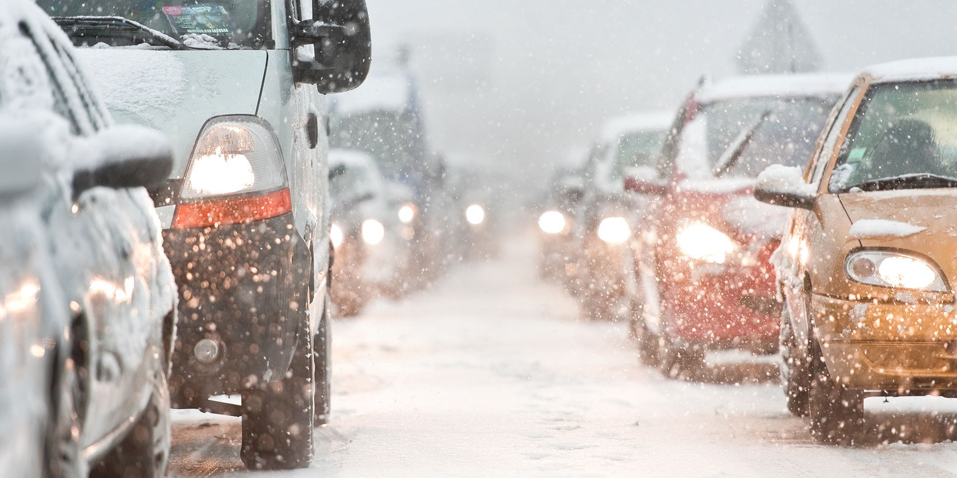
Snow ‘bomb’ claims and talk of a 578‑mile weather system
Another headline warns of a vast “578‑mile snow bomb” said to be “burying” large parts of the UK on 5 March. The language here is among the most dramatic, and while snow is indeed possible, particularly across Scottish high ground, the official forecast presents a more moderated picture.
What the forecast says: For most, there is no snow in the forecast. The most likely scenario is for continuing changeable weather as low‑pressure systems track to the north and west of the UK, bringing rain or showers in many places. Northern and western areas are expected to see the most frequent rainfall and the strongest winds, while southern and eastern areas are likely to be comparatively drier and brighter. Temperatures should stay near or above average overall, although overnight frost and fog remain possible at times.
While snow is possible over the high ground in Scotland, something that is not unusual at this time of year, widespread heavy accumulations as suggested in the headline are not supported by current forecast.
READ MORE: Week ahead forecast: Temperatures on the rise going into midweek
Claims of a ‘week‑long monsoon’ and a supercharged jet stream
Several articles suggest a major shift in weather conditions driven by a “supercharged jet stream”, bringing a “week‑long monsoon deluge” to the UK.
What the forecast says: While it is true that a strong jet stream can enhance rainfall across parts of the country, the forecast presents a more nuanced view.
Mild south‑westerly winds remain a key theme, with cloudier and wetter conditions chiefly affecting the north and west. Rainfall continues to be most significant in Scotland, Northern Ireland, Wales, and parts of northwest and southern England, where active frontal systems brush close to the UK. Meanwhile, southern and southeastern areas will stay drier overall and may see occasional sunshine, though fog and low cloud could form at times. Temperatures are expected to remain mild or even very mild for late February, but talk of a “monsoon” is overstated.
Maps ‘turning yellow’ and talk of an 18°C February ‘mini‑heatwave’
Some online maps highlight warmer colours and have led to headlines predicting an “18°C February mini‑heatwave”.
What the forecast says: While temperatures could indeed reach the high teens in favoured spots, the Met Office’s official definition of a heatwave requires at least three consecutive days exceeding regional thresholds—conditions not expected this week.
The actual forecast again emphasises a mixture of misty starts, bright periods in the southeast, cloudier and wetter weather elsewhere, and persistent rainfall in western Scotland. Winds remain mostly light but can strengthen near coasts. Temperatures are undeniably on the mild side, yet the term “heatwave” is misleading in this context.
READ MORE: When does Spring start?
Warmer weather to ‘mark the start of spring’?
A more optimistic headline suggests that sun and warmer temperatures will “mark the start of spring”. While there is certainly some truth in the prospect of milder days ahead, southern England, for instance, may reach highs around 18°C, the overall outlook remains changeable.
What the forecast says: Low‑pressure systems continue to dominate to the north and west, keeping the wettest weather in those regions. By contrast, southern and eastern parts may enjoy brighter, drier interludes. Overnight frost and fog are still possible, and temperatures, while mostly near or above average, do not signal a sustained shift into genuinely settled spring weather.
Keep up to date with weather warnings, and you can find the latest forecast on our website, on YouTube, by following us on X and Facebook, as well as on our mobile app which is available for iPhone from the App store and for Android from the Google Play store.