The next ten days will bring a very changeable spell of weather across the UK, with a clear signal for unsettled and, at times, windy conditions, particularly around the Easter weekend.
While there will be some quieter and brighter interludes, especially early on and again into early next week, the overall theme is one of active Atlantic weather systems driven by a strong jet stream. This will lead to periods of rain, blustery winds and fluctuating temperatures, with notable regional contrasts between north‑western and south‑eastern areas.
The wider picture
The key driver of the weather over the coming days is a marked temperature contrast across the North Atlantic. Cold air over parts of Canada is pushing southwards, while much milder air lies further south. This sharp contrast is strengthening the jet stream and positioning it across or close to the UK. As a result, a succession of low‑pressure systems will track eastwards, bringing unsettled conditions.
The jet stream will remain active through much of the period, particularly during the Easter weekend, before gradually easing later next week.
Late week: a brief lull before unsettled weather
Thursday will be a relatively decent day in many areas. It will not be especially sunny everywhere, but there should be some brighter spells, particularly across Wales and south‑west England. Here, temperatures are likely to reach the low teens, making it feel reasonably mild.
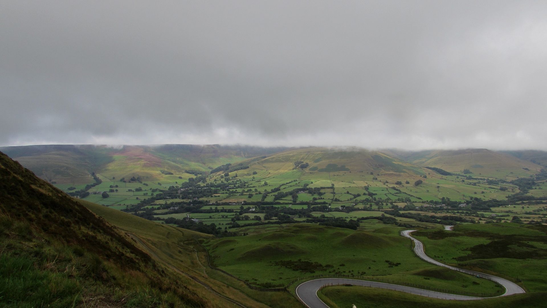
READ MORE: Easter weather extremes: the records behind a famously changeable weekend
Elsewhere, cloud will be more persistent and temperatures a little lower. By later on Thursday and into Thursday night, cloud, rain and strengthening winds will move into north‑western parts of the UK, marking the start of a more unsettled spell.
Good Friday: wet, windy and turning cooler
Through Thursday night into Good Friday, rain and strong winds will sweep south‑eastwards across much of the UK. Rain may be heavy at times, particularly across northern and western areas, with further showers following behind. Winds will be gusty, with locally strong gusts possible in exposed areas and downwind of higher ground.
As the day goes on, slightly colder air will feed in behind the weather front. While temperatures may initially hold up, they will begin to fall later in the day, and showers in Scotland are likely to turn wintry over higher ground, with sleet or snow at times.
Saturday and Easter Sunday: Storm Dave
Saturday morning is likely to start on a colder note for many, with a chilly feel and some early sunshine. However, attention quickly turns to a deepening area of low pressure approaching from the Atlantic that has been named as Storm Dave. As this system crosses the jet stream, it is expected to intensify rapidly, bringing the risk of a particularly wet and windy spell.
Read more: Storm Dave named ahead of windy Easter Weekend weather
A number of Yellow severe weather warnings for wind have been issued covering the whole of Scotland, Northern Ireland north Wales and parts of northern England. The medium impact Yellow warnings are likely to be updated as confidence in the detail of the severe weather increases. Across all warning areas gusts of 50-60mph are expected widely, with 60-70mph gusts possible in exposed locations. The strongest gusts will be in Scotland, where there is a small chance of gusts up to 80-90mph for a short time in exposed locations.
The wind speeds will peak at different times as the deep area of low pressure moves across the north of the UK, with peak gusts in Northern Ireland expected earlier on Saturday afternoon before spreading more widely across the north of the UK.
As well as strong winds heavy snow is likely to cause disruption, with accumulations of 5-10cm possible at location over 200m in elevation in northern Scotland. Some areas could see 10-20cm and with strong wind blizzards and drifting snow will be an additional hazard. A Yellow warning for snow has also been issued for 15:00 Saturday to 03:00 Sunday covering northwest Scotland.
As Storm Dave clears into the North Sea on Sunday afternoon, frequent blustery snow showers will feed into Scotland and Northern Ireland. These showers falling as rain further south in parts of England and Wales.
READ MORE: How accurate was the Met Office during winter’s weather?
Easter Monday and early next week: milder but still changeable
Easter Monday will be the driest day of the weekend for weather, with a brief ridge of higher pressure in the wake of Storm Dave bringing a more settled day. There will be lots of cloud across the UK, though brighter spells will break through in some regions such as the far south of England and northeastern parts of Scotland.
Later next week: still unsettled, but less extreme
As we move deeper into next week, the overall pattern looks to remain changeable, though less extreme than during the Easter weekend. A more zonal, westerly flow is likely to develop, bringing further spells of rain to northern areas, while the south may see longer dry intervals at times.
Temperatures are expected to ease back closer to seasonal averages after the early‑week mild spell, with no strong signal for either prolonged warmth or cold. There are tentative signs that higher pressure could begin to build later next week, potentially bringing more settled conditions, but confidence in this remains low at this stage.
You can find the latest forecast on our website, on YouTube, by following us on X and Facebook, as well as on our mobile app which is available for iPhone from the App store and for Android from the Google Play store.