After a brief spell of milder, brighter weather in parts of the UK, the outlook over the next 10 days turns more changeable once again.
While some settled periods are likely, especially into early March, the overall theme is one of fluctuating temperatures, occasional heavy rain, and short‑lived ridges of high pressure. As we move towards the start of meteorological spring, the weather begins to show signs of shifting towards something more settled, but not before another round of widespread wet and windy conditions.
Turning cooler and wetter through the end of the week
Following an exceptionally mild midweek period, particularly in the southeast, temperatures will fall away as a colder, cloudier and more unsettled pattern develops. A strengthening jet stream will help drive a sequence of low‑pressure systems across the UK, bringing spells of rain and brisk winds.
On Thursday, a band of rain pushes southeast across the country, reducing the sunshine many places enjoyed the day before. The heaviest and most persistent rain looks set to fall across western Wales, southwest England and parts of northwest England. Twenty to thirty millimetres are expected quite widely, with 50 to 70 millimetres possible over higher ground. With soils still saturated in some areas and lingering flood water in places, further rainfall could bring renewed impacts, including surface water issues and minor river rises.
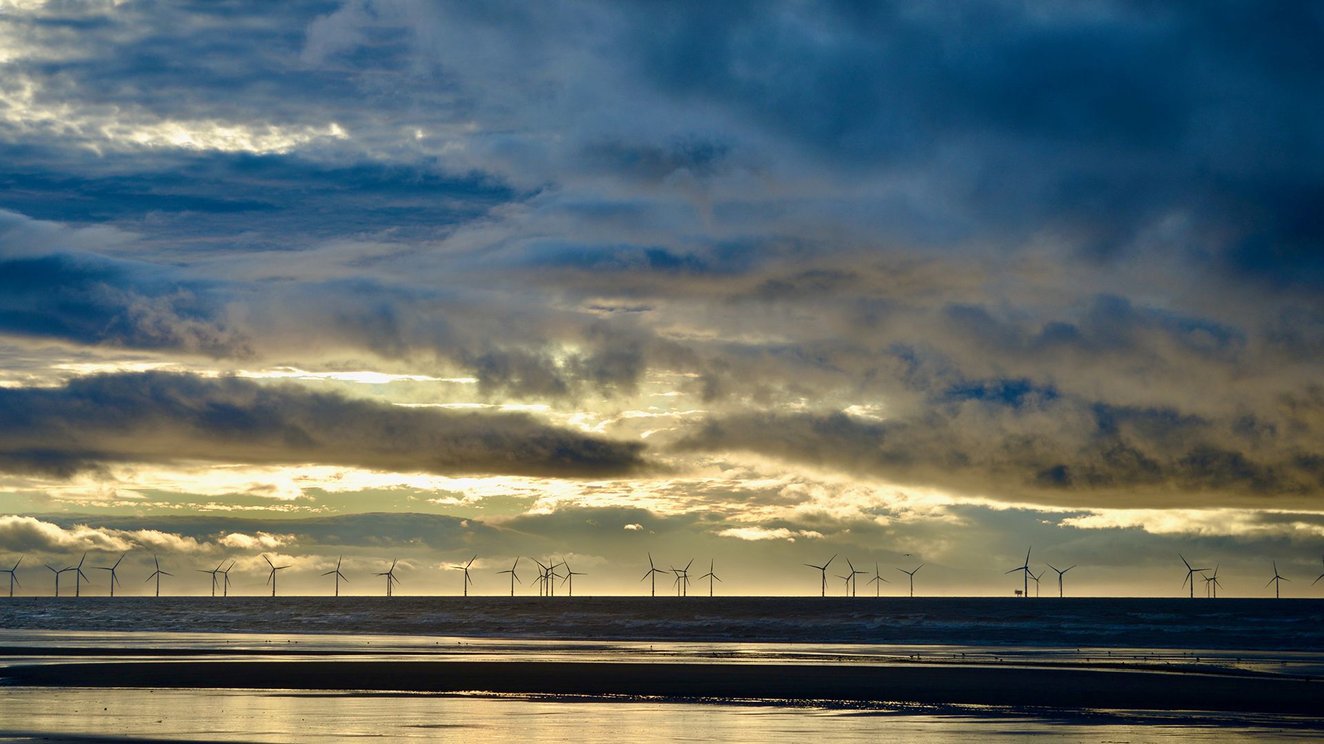
READ MORE: Contextualising February’s warm spell: A notably mild end to winter
Northern Ireland and Scotland will see a mix of showery rain and clearer intervals, with some of the showers turning wintry over higher ground. Winds will be blustery at times, adding to the chillier feel, and temperatures will drop several degrees compared with midweek.
A brief quieter spell on Saturday
As we move into Friday night and Saturday, a ridge of high pressure builds briefly from the west. This brings a quieter day with lighter winds, clearer skies and a significantly more settled feel for many. Saturday morning could begin with a touch of frost in places, particularly across central and northern areas, before sunshine develops through the day.
Despite the sunnier skies, temperatures will be nearer average rather than the unusually mild values seen earlier in the week. For many, it will feel cooler than it has recently, although the dry, bright weather will be welcome after a generally unsettled February.
Unsettled again from late Saturday into Sunday
The settled spell does not last long. Another frontal system approaches from the Atlantic late on Saturday, bringing widespread and at times heavy rain overnight and into Sunday. There remains some uncertainty around the exact placement of the heaviest rainfall, but current indications point towards southwest Scotland, northwest England, and possibly Northern Ireland bearing the brunt. Totals could reach 100 millimetres in some spots, a significant amount likely to lead to renewed travel disruption and perhaps further flooding.
Wales and southwest England may avoid the worst of this period of rain, though outbreaks will still spread through from time to time. The southeast looks comparatively drier, although cloud and occasional lighter rain cannot be ruled out.
Early March: signs of a more settled pattern
Looking further ahead into the first week of March, the broader weather pattern begins to shift. Higher‑than‑average pressure is expected to build across much of the UK, though its exact position will be crucial in determining how settled, dry and mild it becomes.
The most likely scenario suggests that Monday may begin unsettled, as the weekend’s system slowly clears eastwards, but high pressure then starts to establish itself. Where the high situates itself will influence temperatures: if it strengthens to the east, the UK could draw up milder southerly or southeasterly winds. If it sits more overhead or slightly to the west, conditions may remain cooler, particularly by night, but still largely dry.
READ MORE: “Hotter than Greece?”, “578-mile snow bomb?” Weather headline review
Even under a generally settled pattern, fronts may continue to graze the northwest at times, bringing occasional rain here. However, the trend favours more widespread dry spells, especially across southern and eastern areas—something many will welcome after a winter dominated by stalled weather systems and persistent rain.
Temperature trends into next week
Temperature fluctuations will continue into early March. After dipping towards average values late this week and into Saturday, a milder push of air is expected as the next frontal system arrives on Sunday and Monday. By Tuesday, conditions may resemble Saturday: largely dry for many with clearer nights and chilly starts.
Heading further into next week, forecast models show a broad spread in potential temperatures, which is typical at this range. Some suggest a return to milder conditions towards the end of next week, potentially rising into the mid‑teens. However, confidence in any significant warm‑up remains low at this stage.
As we enter meteorological spring, the pattern slowly evolves towards something calmer, though occasional unsettled interludes, particularly in the northwest, will continue. For now, the coming days will bring a mix of weather types, with some challenging conditions before a more stable pattern begins to take hold.
You can find the latest forecast on our website, on YouTube, by following us on X and Facebook, as well as on our mobile app which is available for iPhone from the App store and for Android from the Google Play store.