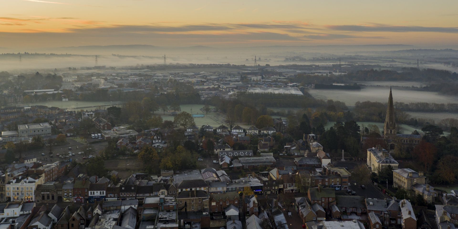
After the recent stormy weather, the UK is heading into a very different pattern, with high pressure increasingly dominating the forecast.
Much of the next 10 days is expected to be dry and settled, although fog, low cloud and some rain in the northwest will provide a few complications.
Why is the UK weather becoming more settled?
The jet stream remains active but is now meandering to the north of the UK, allowing high pressure to build. Through Friday and into the start of the weekend, a frontal system will make some progress into the northwest before weakening. By the end of the weekend and start of next week, two centres of high pressure are expected to merge, leaving a large blocking area of high pressure across the UK.
On Friday, rain will move across parts of Scotland and Northern Ireland, but it is not expected to make much progress south and east. The rain will continue into Saturday in places, generally bringing moderate rather than especially heavy rainfall.
Rainfall totals over the coming days will be highest across Northern Ireland and western Scotland, but even here totals are expected to stay below 50mm over several days. Many places will see very little rain, with some remaining completely dry.
Fog could become a key feature
With high pressure bringing dry weather and light winds, fog is likely to be one of the main weather themes.
Fog could be locally dense, particularly where skies clear overnight. In the London area, Friday morning could be foggy, with another potential fog risk on Sunday morning. As the weakening front edges south and the breeze increases, the risk of fog across southern areas should diminish into next week.
Further north, the opposite trend is possible. Fog could become more likely around the Central Belt of Scotland towards the end of the weekend and beginning of next week. With overnight temperatures potentially falling below freezing, there is also a possibility of freezing fog.
How long will high pressure last?
There is strong agreement that high pressure will remain in control through the weekend and much of next week. The most likely pattern for Monday gives a 91% chance of high pressure dominating the UK, while Tuesday's most likely scenario has a 75% probability. Pressure could reach around 1040 hPa in some areas on Tuesday.
High pressure is then still expected to influence the weather through Wednesday, Thursday and Friday. While confidence naturally decreases further ahead, the predominantly settled theme remains. It may not be completely dry everywhere, with the possibility of some light showers reaching eastern and south-eastern areas.
Will it turn colder?
Temperatures are expected to gradually fall through the next 10 days as the relatively stagnant air mass remains over the UK. Conditions could vary considerably depending on cloud and fog.
Where sunshine breaks through and winds remain light, it could feel pleasantly warm for early November. Conversely, places stuck beneath persistent low cloud, mist or fog could feel much colder, particularly if freezing fog develops in Scotland.
Looking towards the first full weekend of November, there are indications of a return to somewhat more changeable conditions, but uncertainty is greater by this stage. Until then, the dominant message is one of high pressure, light winds and very limited rainfall for much of the UK.
READ MORE:
How long will high pressure keep the UK dry?
Deep dive: Turning calmer and foggier after recent storms?
Halloween weather extremes: Howling winds and bitter chills
Where were Storm Austen’s strongest wind gusts recorded?
Keep up to date with weather warnings, and you can find the latest forecast on our website, on YouTube, by following us on X and Facebook, as well as on our mobile app which is available for iPhone from the App store and for Android from the Google Play store.