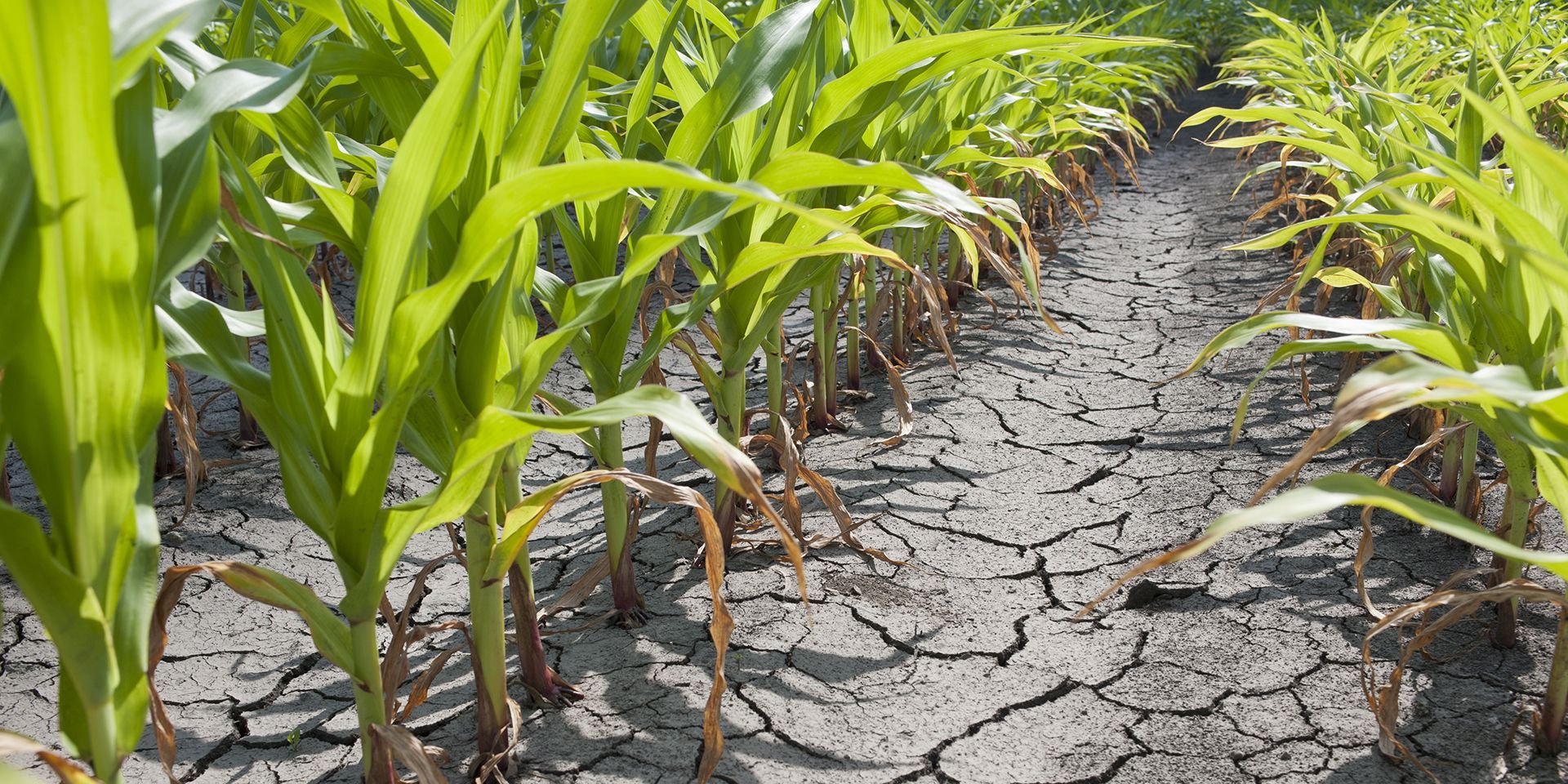
After weeks of hot, dry weather and widespread heatwave conditions across many parts of the UK, one of the questions we're hearing most often is: when will it rain again?
The short answer is that for many areas, significant rainfall is not expected in the immediate future. Current Met Office forecasts suggest rain will remain in short supply across much of the UK over the coming days.
Why has it been so dry?
High pressure has been the dominant feature of the UK's weather pattern in recent weeks, bringing prolonged spells of sunshine, light winds and very limited rainfall. The settled pattern has allowed temperatures to climb well above average, with several parts of the UK experiencing their third heatwave of the year so far.
While some locations have seen isolated showers or thunderstorms, these have been very localised, with many areas having remained completely dry for extended periods.
Is there any rain on the horizon?
For the next few days, high pressure is expected to remain close to the UK, meaning dry weather will continue for most areas. The most likely chance of rain will be in the far south or south-west, where a few isolated showers are possible. However, these are expected to be scattered and short-lived, with many places remaining dry.
Could thunderstorms bring meaningful rainfall?
There is a small chance of thunderstorms developing in places later this week. While these could bring brief spells of heavy rain, they are expected to be localised rather than widespread. As a result, they are unlikely to deliver the sustained rainfall that many gardens, reservoirs and agricultural fields may be hoping for.
The settled pattern is expected to continue into the weekend. Most areas are expected to be mostly dry, with the best of the sunshine in the south and west. There is a low chance of an isolated shower in parts of Scotland, Northern Ireland and northern England, but many locations will remain rain-free.
What happens later in July?
Looking further ahead, there are signs that the settled pattern may begin to weaken towards the latter part of July. As the high-pressure becomes less dominant, there will be an increasing chance of weather fronts, showers and thunderstorms reaching parts of the UK. However, confidence in the timing, location and extent of any wetter conditions remains relatively low at this range.
This does not necessarily mean a return to prolonged wet weather. Instead, a more changeable pattern could develop, bringing a mixture of dry, sunny periods and occasional showers, thunderstorms or longer spells of rain.
So, if you're wondering when it will rain, the latest Met Office forecast suggests most areas will have to wait a little longer.
As always, keep up to date with the latest forecasts as the details become clearer.