Esri UK
Helping young people see the effect climate change could have on temperature changes in their area.
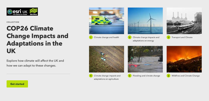
A collaboration between Esri UK and the Met Office saw the launch of a new set of free teaching resources designed to help children aged 7-16 learn more about climate change and its impact on their local area.
By combining the Met Office’s climate change expertise and latest UK Climate Projections with Esri UK’s interactive maps and dashboards, the online materials focus on how climate change will impact our daily lives over the next 50 to 100 years.
Aimed at geography teachers in key stage 2, 3 and 4, the three different resource packs examine weather, climate and how climate change will affect key areas of everyday life, including transport, agriculture, health and energy.