
Albedo
Albedo (sometimes referred to as 'reflection coefficient') is a measure of how reflective a surface is.
The term is derived from the Latin albus meaning 'white' and is either determined by a value between 0 and 1 or a percentage value.
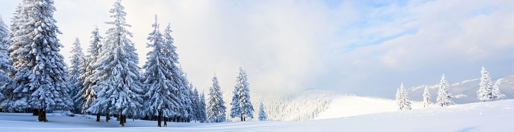
The more reflective a surface is the higher the albedo value. Very white surfaces, such as fresh snow, reflect a very high fraction of incoming radiation back to space. Darker surfaces such as water, forests or asphalt have a much lower albedo and more of the sun's energy is absorbed.
Interestingly, the surface of the ocean is mostly dark but becomes very reflective when the sun is low in the sky. This sun-glint effect is regularly seen in satellite images near sunrise and sunset.
Much of the planet each day is covered by cloud which will have a different albedo to the surface. White clouds reflect more sunlight than water and darker land surfaces. Tiny particles in our atmosphere such as dust, smoke and pollen (known as 'aerosols') also affect the overall reflection of incoming solar radiation.
In a weather and climate context we often refer to the Earth's surface albedo for the reflectivity of the surface, and the planetary albedo for the reflectivity of the Earth when viewed from space, including the effect of the atmosphere, clouds and aerosols.
Albedo in weather and climate
Albedo is a very important factor in both weather and climate. The amount of sunlight that is absorbed or reflected is a driving force of our weather. As different surface types absorb different amounts of energy, heating to differing extents, temperature gradients are created in the atmosphere above these surfaces and these gradients drive our weather systems.
Changes in the albedo of the Earth's surface, caused by changes in land surface type affect the Earth's 'energy budget'. If less energy is reflected then there will be a warming effect. This can lead to feedbacks, as if there is extensive snow melt, more energy will be absorbed, leading to more surface heating and more snow melt. On a large scale this has implications for our climate.
Measuring albedo
We can measure albedo to a high accuracy using satellite and this information is fed into weather and climate models. Using measurements of current and historical albedo from satellite has resulted in more accurate weather and climate predictions. We use land-surface albedo from Global Albedo for both the Met Office Numerical Weather Prediction models and Met Office seasonal and climate models.
