
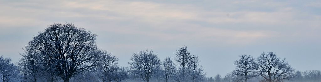
Freezing fog
Find out more about how freezing fog is formed and when we typically see it.
What is freezing fog?
Freezing fog forms in the same way as normal fog when the land cools overnight under clear skies. If there are clear skies, the heat radiates back into space leading to cooling at the earth's surface. This results in a reduction of the air's ability to hold moisture which allows water vapour to condense into tiny water droplets eventually leading to the formation of fog.
When fog forms in temperatures that are below freezing, the tiny water droplets in the air remain as liquid. They become supercooled water droplets remaining liquid even though they are below freezing temperature.
This occurs because liquid needs a surface to freeze upon. When droplets from freezing fog freeze onto surfaces, a white deposit of feathery ice crystals is formed. This is referred to as rime; rime is a characteristic of freezing fog and is often seen on vertical surfaces exposed to the wind.
When do we see freezing fog?
In the UK, we tend to get freezing fog during winter when temperatures are around freezing and there are clear skies and calm conditions. Any rime that develops as a result of freezing fog will be visible on the windward side of the object. It is quite rare for rime to develop at low levels in the UK, however it is more frequent on mountain tops and higher ground.