
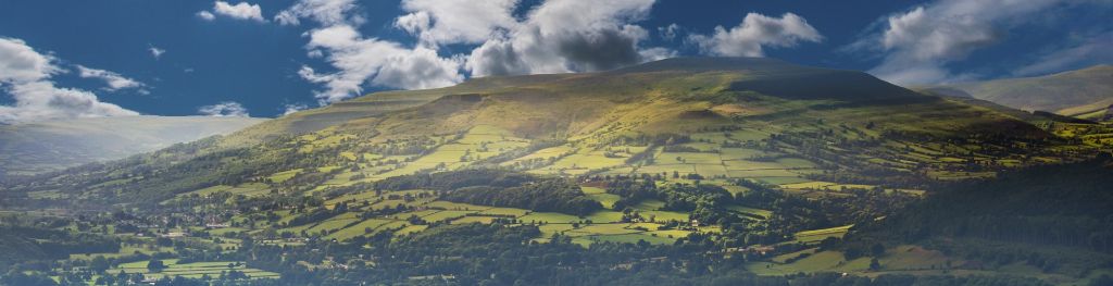
Mountain weather
Bannau Brycheiniog / Brecon Beacons Mountain weather forecast table
Confidence
High for mainly dry weather for the next couple of days but medium for cloud details. Then good confidence for more changeable conditions but low for details and timing of any rain or stronger winds from Friday onward.
Mountain weather hazards
Hazards apply at or above 300m, reflecting the more severe conditions which can occur at altitude.
 Poor Visibility
Poor visibility presents challenging route finding conditions. Visibility could be significantly less than 50 metres in all directions with few or no visual references, especially on featureless moors or plateaux. Distances become hard to judge and cliff or cornice edges can be difficult to recognise. These conditions require good navigational skills. There is a risk of white-out conditions when mist or fog is combined with extensive snow cover.
Mountain weather forecast
Cloud breaking to brighter intervals. Strong winds.
| 06:00 | 09:00 | 12:00 | 15:00 | 18:00 | 21:00 | |
|---|---|---|---|---|---|---|
Weather (at 600m) |
|
|
|
|
|
|
Chance of precipitation (at 600m) |
20% | 10% | <05% | <05% | 10% | 10% |
Wind direction and speed (mph)
Altitude above mean sea level
| 06:00 | 09:00 | 12:00 | 15:00 | 18:00 | 21:00 | |
|---|---|---|---|---|---|---|
| 600m |
SW
14
|
SW
14
|
S
17
|
S
17
|
S
19
|
S
23
|
| 300m |
SW
5
|
SW
7
|
SW
10
|
S
8
|
S
9
|
S
9
|
| Valley |
SW
4
|
SW
5
|
SW
8
|
S
6
|
S
7
|
S
6
|
Wind gust (mph)
Altitude above mean sea level
| 06:00 | 09:00 | 12:00 | 15:00 | 18:00 | 21:00 | |
|---|---|---|---|---|---|---|
| 600m | 18 | 18 | 23 | 23 | 26 | 31 |
| 300m | 15 | 15 | 18 | 17 | 21 | 22 |
| Valley | 13 | 12 | 17 | 14 | 19 | 19 |
Altitude above mean sea level
| 06:00 | 09:00 | 12:00 | 15:00 | 18:00 | 21:00 | |
|---|---|---|---|---|---|---|
| 600m |
8°
|
8°
|
9°
|
10°
|
9°
|
8°
|
| 300m |
10°
|
11°
|
12°
|
13°
|
11°
|
10°
|
| Valley |
10°
|
11°
|
13°
|
13°
|
11°
|
11°
|
| Freezing Level |
1,700m
|
1,700m
|
1,600m
|
2,000m
|
1,900m
|
1,900m
|
Altitude above mean sea level
| 06:00 | 09:00 | 12:00 | 15:00 | 18:00 | 21:00 | |
|---|---|---|---|---|---|---|
| 600m |
5°
|
5°
|
6°
|
7°
|
5°
|
4°
|
| 300m |
8°
|
9°
|
11°
|
11°
|
9°
|
8°
|
| Valley |
10°
|
10°
|
12°
|
12°
|
10°
|
9°
|
Additional weather information
Meteorologist's view
Winds likely peaking around 40-50mph by dark, across the highest tops.
Weather
Cloudy start, with hills obscured, although it will be mainly dry. Cloud then lifting during the afternoon, and becoming more broken with the chance of some sunny intervals at all levels. Some clear spells in the evening but some patchy low cloud again forming over the hills.
Chance of cloud-free hill tops
30% in morning rising 90% in afternoon dropping 60% after dark
Low cloud and visibility
Cloud obscuring hills above 500m in morning, before lifting to give just a patchy covering at 800m, likely rising off most tops for much of the afternoon. Cloud again lowering and thickening again above 700m during the evening. Good views likely for much of the day
Recent rainfall
Location: Neuadd (Near Pontsticill)
Altitude: 353m
| Last 24 hours | Last 48 hours | Last 72 hours |
|---|---|---|
| 7.4mm | 7.4mm | 20.6mm |
Measurement date:
Rainfall data provided by Natural Resources Wales. The Met Office is not responsible for content provided by third parties and may remove this data without warning.
Mountain weather information
Weather
Mainly dry, with broken cloud and some sunny intervals. Cloud thickening through the afternoon, as rain erratically approaches from the west, perhaps moving in by midnight.
Chance of cloud-free hill tops
70% rising to above 90% by day, falling 20% during the afternoon.
Maximum wind speed expected
Southerly 35mph gusts 45-50mph.
Temperature
- At 600m Plus 6 Celsius rising to Plus 9 Celsius.
- Valley Plus 9 Celsius rising to Plus 15 Celsius.
- Freezing level Above the summits.
Low cloud and visibility
Patchy cloud around 600m soon rising to 800m during the morning, with clear tops possible. Cloud returning at 600m during the afternoon, perhaps down to 500m after dark, most likely on southern facing slopes. Good visibility for much of the day, falling to moderate with any rain after dark.
Mountain weather information
Fri 25 Oct
Sunrise:
Sunset:
Cloudy with showers or longer spells of rain and hill fog. Cloud potentially obscuring some lower hills at times. Winds will occasionally be strong, especially at height, but with a chance of dropping light.
Sat 26 Oct
Sunrise:
Sunset:
Starting similar to Friday with further spells of rain and hill fog. Some brighter or clearer conditions likely spread east later in the day, but perhaps not until after dark.
Sun 27 Oct
Sunrise:
Sunset:
Cloudy again, with occasional rain or drizzle, mostly light, and many hill tops likely obscured. Strong west to southwest winds, perhaps gales
Updated at:
Summit specific forecast
Mountain summit forecast map
Loading map…
Key
The Bannau Brycheiniog / Brecon Beacons is a mountain range in South Wales comprising six main peaks, with the highest peak, Pen y Fan, standing at 886 metres.