
Mountain weather
Peak District Mountain weather forecast table
Confidence
High confidence for overall themes, lower for shower detail on Saturday.
This evening forecast
Evening sun followed by some clear spells once the sun has set.
Mountain weather hazards
Hazards apply at or above 300m, reflecting the more severe conditions which can occur at altitude.
 Strong Sunlight
Harmful UV levels from sunlight increase with altitude giving a greater risk of sunburn and eye damage, even on some overcast days. On breezy days, the cooling effect of wind on exposed skin may disguise any feeling of sunburn until it is too late. If there is snow cover, glare increases the effect of UV rays especially on the eyes. It is advisable to wear sun block, protective clothing such as a long-sleeved top and hat and have good quality eye protection.
Poor Visibility
Poor visibility presents challenging route finding conditions. Visibility could be significantly less than 50 metres in all directions with few or no visual references, especially on featureless moors or plateaux. Distances become hard to judge and cliff or cornice edges can be difficult to recognise. These conditions require good navigational skills. There is a risk of white-out conditions when mist or fog is combined with extensive snow cover.
Thunderstorms
Lightning is a significant mountain hazard which can result in serious injury or death. Mountain terrain often leaves one highly exposed to lightning strikes. Hail may give unpleasant conditions with torrential rain and localised flash flooding also possible, mainly in Summer months.
Mountain weather forecast
Sunny spells with scattered showers, perhaps heavy at times with a risk of thunder.
| 00:00 | 03:00 | 06:00 | 09:00 | 12:00 | 15:00 | 18:00 | 21:00 | |
|---|---|---|---|---|---|---|---|---|
Weather (at 600m) |
|
|
|
|
|
|
|
|
Chance of precipitation (at 600m) |
00% | <05% | 10% | 20% | 40% | 40% | 20% | 00% |
Wind direction and speed (mph)
Altitude above mean sea level
| 00:00 | 03:00 | 06:00 | 09:00 | 12:00 | 15:00 | 18:00 | 21:00 | |
|---|---|---|---|---|---|---|---|---|
| 600m |
SW
7
|
SW
9
|
SW
10
|
SW
12
|
SW
12
|
W
11
|
W
9
|
W
6
|
| 300m |
SW
6
|
S
5
|
S
6
|
SW
9
|
SW
9
|
W
8
|
W
7
|
W
4
|
| Valley |
S
3
|
SE
4
|
S
4
|
SW
7
|
SW
6
|
W
6
|
W
6
|
NW
4
|
Wind gust (mph)
Altitude above mean sea level
| 00:00 | 03:00 | 06:00 | 09:00 | 12:00 | 15:00 | 18:00 | 21:00 | |
|---|---|---|---|---|---|---|---|---|
| 600m | 9 | 12 | 14 | 16 | 16 | 15 | 13 | 9 |
| 300m | 9 | 10 | 10 | 14 | 13 | 12 | 11 | 7 |
| Valley | 7 | 10 | 10 | 13 | 12 | 12 | 11 | 8 |
Altitude above mean sea level
| 00:00 | 03:00 | 06:00 | 09:00 | 12:00 | 15:00 | 18:00 | 21:00 | |
|---|---|---|---|---|---|---|---|---|
| 600m |
10°
|
9°
|
10°
|
11°
|
11°
|
12°
|
13°
|
11°
|
| 300m |
12°
|
11°
|
11°
|
13°
|
14°
|
15°
|
15°
|
14°
|
| Valley |
12°
|
11°
|
12°
|
14°
|
15°
|
17°
|
16°
|
13°
|
| Freezing Level |
2,000m
|
2,000m
|
2,000m
|
2,000m
|
2,300m
|
2,400m
|
2,300m
|
2,300m
|
Altitude above mean sea level
| 00:00 | 03:00 | 06:00 | 09:00 | 12:00 | 15:00 | 18:00 | 21:00 | |
|---|---|---|---|---|---|---|---|---|
| 600m |
9°
|
7°
|
7°
|
8°
|
9°
|
10°
|
11°
|
10°
|
| 300m |
12°
|
10°
|
10°
|
11°
|
13°
|
14°
|
14°
|
13°
|
| Valley |
12°
|
10°
|
12°
|
13°
|
14°
|
16°
|
15°
|
13°
|
Additional weather information
Meteorologist's view
Heavy showers may cause some localised surface water flooding, care should be taken underfoot. Despite largely cloudy conditions, UV is still likely to be high with appropriate sun protection advised.
Weather
Clear skies overnight with cloud thickening and filling in from the west during the morning. Showers soon developing, perhaps turning heavy at times with a low risk of thunder. Skies clearing and showers easing by the evening.
Chance of cloud-free hill tops
80% becoming greater than 95% in the evening.
Low cloud and visibility
Some isolated patches of low cloud on western slopes above 300m at first otherwise cloud bases generally above summits. During the morning, patchy cloud covering hills above 500-600m in any showers, but this rises above summits by the afternoon. Poor visibility on western slopes at first, but otherwise good becoming very good by the afternoon, dropping back down to poor in heavy showers.
Recent rainfall
Location: Cat & Fiddle (Midway between Buxton and Macclesfield)
Altitude: 511m
| Last 24 hours | Last 48 hours | Last 72 hours |
|---|---|---|
| 0mm | 3.6mm | 3.6mm |
Measurement date:
Rainfall data provided by the Environment Agency. The Met Office is not responsible for content provided by third parties and may remove this data without warning.
Mountain weather information
Weather
Isolated patches of mist and fog in the low valleys around dawn, quickly clearing to see a fine day across the Park with plenty of sunshine. High UV levels to be expected.
Chance of cloud-free hill tops
Greater than 95%.
Maximum wind speed expected
Westerly becoming southerly 5-10mph gusting 15mph.
Temperature
- At 600m Plus 8 Celsius becoming Plus 19 Celsius
- Valley Plus 10 Celsius becoming Plus 24 Celsius.
- Freezing level Above summits.
Low cloud and visibility
Mist and fog in the low valleys around dawn bringing some poor or very poor visibilities to start, but summits remaining clear, any patches of mist or fog quickly burns away leaving good or very good visibilities for much of the day.
Mountain weather information
Mon 29 Jul
Sunrise:
Sunset:
Mist and isolated foggy patches in the valleys, clearing quickly to see a fine and dry day with plenty of sunshine. High UV. Gentle to Moderate southerly or southwesterly winds.
Tue 30 Jul
Sunrise:
Sunset:
Another day of sunny spells with high UV levels. Gentle to Moderate northwesterly winds.
Wed 31 Jul
Sunrise:
Sunset:
Settled weather continues with a good deal of sunshine persisting. High UV. Light and variable winds.
Updated at:
Summit specific forecast
Mountain summit forecast map
Loading map…
Key
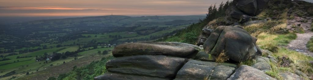
The Peak District is home to a wide variety of magnificent hills, moors, outcrops and gritstone edges.