
Mountain weather
Peak District Mountain weather forecast table
Confidence
Generally high confidence, lower for detail of low cloud through the week.
This evening forecast
Clear skies at first this evening, soon clouding over from the northwest, with outbreaks of rain following later. Moderate southwesterly winds, becoming northwesterly later.
Mountain weather hazards
Hazards apply at or above 300m, reflecting the more severe conditions which can occur at altitude.
 Poor Visibility
Poor visibility presents challenging route finding conditions. Visibility could be significantly less than 50 metres in all directions with few or no visual references, especially on featureless moors or plateaux. Distances become hard to judge and cliff or cornice edges can be difficult to recognise. These conditions require good navigational skills. There is a risk of white-out conditions when mist or fog is combined with extensive snow cover.
Mountain weather forecast
Dry and sunny through much of the day, clouding over later with rain into the evening.
| 00:00 | 03:00 | 06:00 | 09:00 | 12:00 | 15:00 | 18:00 | 21:00 | |
|---|---|---|---|---|---|---|---|---|
Weather (at 600m) |
|
|
|
|
|
|
|
|
Chance of precipitation (at 600m) |
30% | <05% | <05% | <05% | <05% | <05% | 20% | 70% |
Wind direction and speed (mph)
Altitude above mean sea level
| 00:00 | 03:00 | 06:00 | 09:00 | 12:00 | 15:00 | 18:00 | 21:00 | |
|---|---|---|---|---|---|---|---|---|
| 600m |
W
14
|
NW
12
|
NW
9
|
SW
8
|
SW
14
|
SW
17
|
SW
23
|
SW
24
|
| 300m |
W
12
|
NW
6
|
S
5
|
S
6
|
SW
10
|
SW
11
|
SW
13
|
SW
17
|
| Valley |
NW
8
|
NW
4
|
NW
3
|
S
3
|
SW
8
|
SW
9
|
SW
9
|
SW
11
|
Wind gust (mph)
Altitude above mean sea level
| 00:00 | 03:00 | 06:00 | 09:00 | 12:00 | 15:00 | 18:00 | 21:00 | |
|---|---|---|---|---|---|---|---|---|
| 600m | 19 | 18 | 15 | 12 | 19 | 24 | 33 | 34 |
| 300m | 18 | 12 | 7 | 8 | 14 | 18 | 23 | 26 |
| Valley | 18 | 12 | 9 | 8 | 15 | 18 | 23 | 24 |
Altitude above mean sea level
| 00:00 | 03:00 | 06:00 | 09:00 | 12:00 | 15:00 | 18:00 | 21:00 | |
|---|---|---|---|---|---|---|---|---|
| 600m |
6°
|
4°
|
4°
|
4°
|
6°
|
6°
|
6°
|
5°
|
| 300m |
8°
|
6°
|
6°
|
6°
|
8°
|
8°
|
8°
|
8°
|
| Valley |
9°
|
6°
|
5°
|
6°
|
9°
|
9°
|
8°
|
8°
|
| Freezing Level |
1,600m
|
900m
|
1,000m
|
1,000m
|
1,100m
|
1,100m
|
2,900m
|
3,000m
|
Altitude above mean sea level
| 00:00 | 03:00 | 06:00 | 09:00 | 12:00 | 15:00 | 18:00 | 21:00 | |
|---|---|---|---|---|---|---|---|---|
| 600m |
2°
|
0°
|
0°
|
2°
|
2°
|
1°
|
0°
|
0°
|
| 300m |
5°
|
4°
|
4°
|
5°
|
6°
|
6°
|
5°
|
4°
|
| Valley |
6°
|
5°
|
4°
|
6°
|
7°
|
7°
|
6°
|
5°
|
Additional weather information
Meteorologist's view
Feeling cold at height, be prepared with appropriate layers.
Weather
Cloud and patchy light rain clearing southeast during the early hours, then dry and clear. A sunny start to the day with extensive blue skies through the morning and into the early afternoon. Clouding over by late afternoon with rain following behind by late evening, this giving some heavy bursts.
Chance of cloud-free hill tops
>90% reducing 40% by late evening
Low cloud and visibility
Scattered cloud base 500-700m spreads in from the northwest by late evening. Visibility good or very good, falling moderate in rain later.
Recent rainfall
Location: Cat & Fiddle (Midway between Buxton and Macclesfield)
Altitude: 511m
| Last 24 hours | Last 48 hours | Last 72 hours |
|---|---|---|
| 2.8mm | 3mm | 3.1mm |
Measurement date:
Rainfall data provided by the Environment Agency. The Met Office is not responsible for content provided by third parties and may remove this data without warning.
Mountain weather information
Weather
Outbreaks of heavy rain during the overnight period will ease early morning but low cloud will linger throughout the day, with outbreaks of light rain or drizzle at times.
Chance of cloud-free hill tops
10-20%
Maximum wind speed expected
Southwesterly 15-20mph gusting 30-40mph at first, falling light into the afternoon
Temperature
- At 600m Plus 6 to 12 Celsius
- Valley Plus 7 to 14 Celsius
- Freezing level Above summits
Low cloud and visibility
Scattered or broken cloud base 400-600m. Visibility moderate or poor, good at lower levels in drier interludes.
Mountain weather information
Tue 29 Oct
Sunrise:
Sunset:
Rather cloudy with outbreaks of rain or drizzle, brightening up later. Light winds.
Wed 30 Oct
Sunrise:
Sunset:
Sunny spells during the morning, cloudier later with some drizzle. Light to moderate westerly winds.
Thu 31 Oct
Sunrise:
Sunset:
A cloudy day with some rain or drizzle. Moderate westerly winds.
Updated at:
Summit specific forecast
Mountain summit forecast map
Loading map…
Key
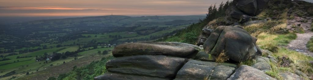
The Peak District is home to a wide variety of magnificent hills, moors, outcrops and gritstone edges.