

Storm Freya
Storm Freya affected the UK on 3rd-4th March 2019, bringing strong winds to parts of England and Wales.
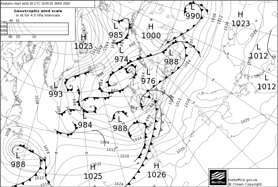
Storm Freya was named after a yellow warning for wind was issued on Friday 1st March; a low pressure system was forecast to bring strong winds on Sunday 3rd and Monday 4th March.
Storm Freya formed in the Atlantic, the low pressure centre first bringing strong winds and rain to the southwest on 3rd, before affecting large areas of England and Wales on her transit northeastwards; eventually clearing into the North Sea on 4th. Snow fell on the northern flank of the low, across the northern Pennines and southern Scotland. The strongest winds were recorded in south Wales. Storm Freya arrived after a period of record-breaking warmth at the end of February.
Storm Freya maximum wind gusts (mph)
| Site Name | Area | Max gust (mph) |
|---|---|---|
| Mumbles | Swansea | 76 |
| Capel Curig | Conwy | 74 |
| Pembrey | Carmarthenshire | 70 |
| Scilly | Isles of Scilly | 68 |
| Needles | Isle of Wight | 68 |
| Chivenor | Devon | 68 |
Storm Freya Impacts:
No amber warnings were issued as forecast wind speeds were lower than some other named storms, but there were still some impacts causing disruption. Reports of fallen trees, damage to power lines and coastal flooding due to waves overtopping were all reported, having an impact on travel, homes and businesses. Snow across the northern Pennines had an impact on travel between Northumberland and Cumbria.