
Storm Gareth
Storm Gareth affected the UK and Ireland on 12th and 13th March 2019
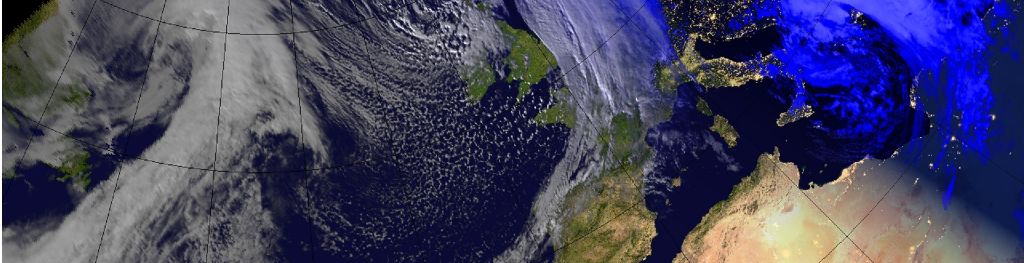
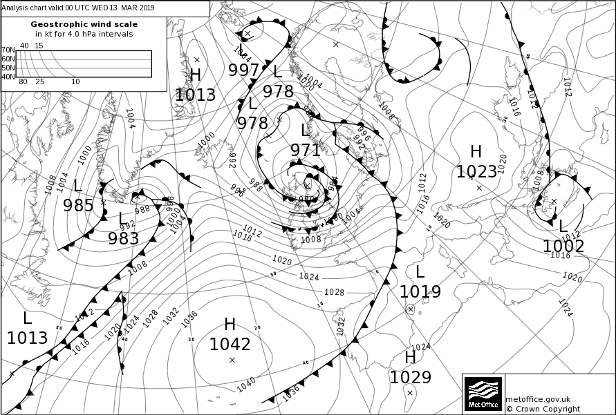
Low pressure initially formed in the western Atlantic on the 10th March. This was picked up by a vigorous jet stream and deepened rapidly, with central pressure falling 37 hPA in 24 hours, a process known as explosive cyclogenesis. This meant that by the 11th March, a very deep area of low pressure was located to the south of Iceland and to the west of Scotland. This system was named Storm Gareth by Met Eireann on Monday 11th March, with very strong winds and heavy rain affecting the Republic of Ireland and United Kingdom on Tuesday and Wednesday. The highest wind gust of 80 mph was recorded at Malin Head in Donegal, with the highest gust in the United Kingdom being 75 mph at Machrihanish on the Mull of Kintyre. That said, all parts of the country saw some strong winds, heavy rain as well as snow, especially for the mountains of Scotland. After bringing very disturbed conditions to the UK, Storm Gareth went on to bring very windy weather to parts of northern Europe.
Storm Gareth maximum gust speeds (mph)
| Site name | Area | Max gust (mph) |
|---|---|---|
| Malin Head | ROI | 81 |
|
Machrihanish |
Argyll | 75 |
|
Donegal |
ROI | 74 |
| South Uist | Hebrides | 71 |
| Capel Curig | Conwy | 70 |
| Orlock Head | NI | 69 |
| St Bees Head | Cumbria | 64 |
| Port Ellen | Islay | 64 |
| Benbecula | Hebrides | 64 |
|
Mumbles |
Swansea | 61 |
| Berry Head | Devon | 60 |
| Southampton | Hampshire | 60 |
Storm Gareth Impacts
Strong winds were first felt across Ireland and Northern Ireland before moving across the rest of the UK. Roads and bridges were restricted, while ferries and train services saw some delays and cancellations. Fallen trees and power lines were observed. Localised coastal flooding due to wave overtopping, as well as reports of flooding across parts of Cumbria due to heavy rain. Six fishermen had to be rescued by helicopter close to Land's End due to overwhelming waves.