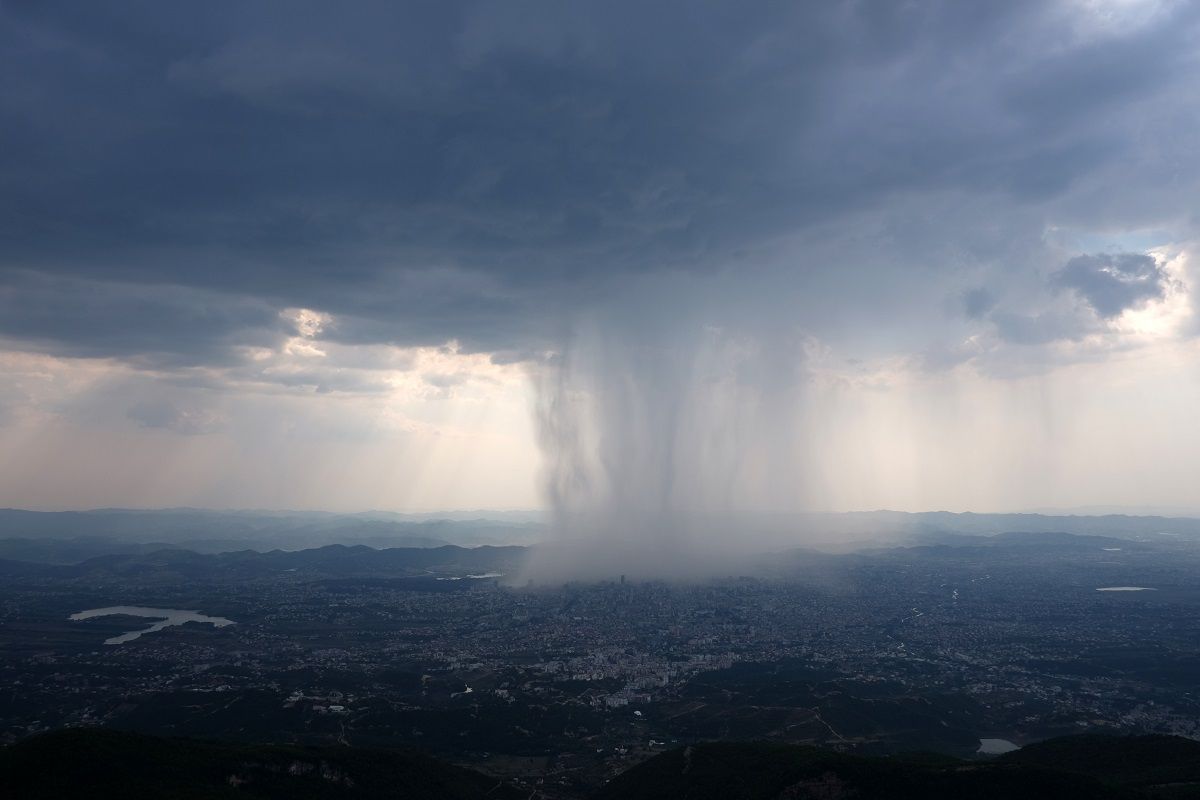
The UK faces unsettled weather this weekend with gusty winds, frequent showers, and occasional sunny spells.
A dynamic and unsettled weekend is in store across the UK, with low pressure firmly in control of our weather charts. Expect a mix of gusty winds, frequent showers, and occasional brighter spells as we move through Saturday and Sunday.
Here’s a look at what to expect and what it means for your weekend plans.
Saturday: Gusty winds and frequent showers
Saturday dawns with a boisterous feel, as gusty winds sweep across much of the country. The presence of numerous isobars on the weather charts signals a windy day ahead, with low pressure dominating the scene. Weather fronts will be trying to clear through, but not before bringing some heavy rain on Friday that lingers into Saturday, particularly across northeastern parts of Scotland.
Elsewhere, the story is one of showers—lots of them. Bands of showers will be whizzing in on a brisk westerly wind, affecting South Wales and southwest England most persistently. Some of these showers will be heavy, with the chance of the odd rumble of thunder. The ground in these areas is already very wet, so any extra heavy downpours will be far from welcome, potentially leading to tricky travel conditions and localised surface water issues.
⚠️ Yellow weather warning issued ⚠️
— Met Office (@metoffice) December 5, 2025
Strong southeasterly winds across Northern Ireland
Today 1200-1900
Latest info 👉 https://t.co/QwDLMfS950
Stay #WeatherAware⚠️ pic.twitter.com/8ccKZio77u
The Midlands and southwestern parts of Scotland will also see showers moving in at times, though eastern areas may escape with fewer showers and, for some, a largely dry Saturday. Where the showers do ease, there will be opportunities for some sunny spells to break through, especially in the east. However, the brisk and gusty wind will be a constant companion, making it feel cooler than the thermometer might suggest.
Northeast Scotland will see the more persistent rain gradually easing, but further showers will continue to move in, driven by winds coming in from the North Sea. Temperatures will generally be around average for the time of year, though in the south it may be a touch above average. Even so, the combination of wind and frequent showers will make it feel cooler, especially in exposed areas.
Saturday night: Another weather system approaches
As Saturday draws to a close, attention turns to the next weather system gathering to the west. This system is set to bring almost a repeat performance, with another weather front extending across the country from west to east. The isobars remain tightly packed, signalling that winds will stay brisk, though perhaps not quite as strong as earlier in the day.
Sunday: Rain clearing, brighter spells, and milder air
Sunday begins on a rather grim note for many, with a bank of rain arching its way northward and spreading steadily across most of Scotland. This rain will be persistent for a time, especially in the north, but as it clears, it will leave behind a much brighter picture for England, Wales, and much of Northern Ireland. Sunday afternoon promises some sunny spells breaking through, with just a few showers lingering in the north and west.
For southernmost counties of England, the situation is less clear-cut. Weather fronts may not completely clear the area, leaving these regions susceptible to lingering cloud and, at times, some drizzly rain. However, for many, the trend will be towards brighter and drier conditions as the day progresses.
READ MORE: 10-day trend: Wet and mild conditions dominate early December
Temperatures on Sunday will be a little warmer than Saturday, with values of 9 or 10°C across the north, and 11, 12, or even 13°C in the south. When compared to the average for mid-December, a good part of central and eastern England and South Wales will be about three or four degrees above the seasonal norm. Winds will be a touch lighter than on Saturday, but still brisk enough to remind us that low pressure remains in charge.
As we look beyond the weekend, the weather remains on a changeable footing. Low pressure continues to dominate, with further spells of wet and windy weather likely as we head into the start of next week. While it won’t be raining all the time, there will be plenty of rain around, and the risk of further heavy downpours cannot be ruled out.
Keep up to date with weather warnings, and you can find the latest forecast on our website, on YouTube, by following us on X and Facebook, as well as on our mobile app which is available for iPhone from the App store and for Android from the Google Play store.

