A more settled weekend is on the way as high pressure becomes increasingly dominant across the UK.
Many places will be dry with some autumn sunshine, but dense fog could cause difficult travelling conditions, while rain and brisk winds affect parts of Scotland and Northern Ireland.
What will the weather be like on Saturday?
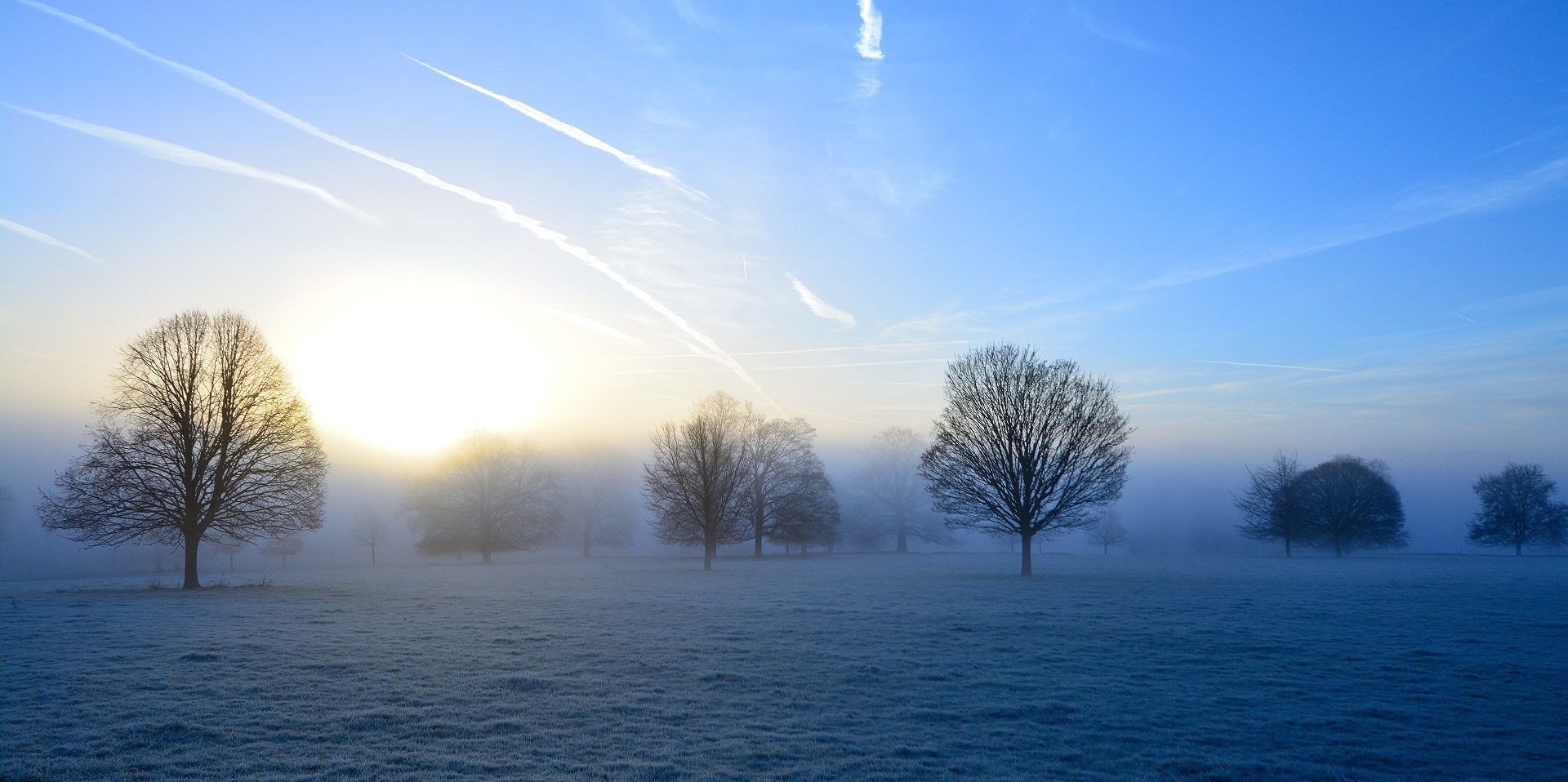
Saturday will begin on a foggy note across much of England and Wales. A moist easterly airflow, combined with clearer skies beneath high pressure, is expected to allow widespread fog to form overnight.
Some fog patches could be dense, particularly across rural areas and parts of southwest England. Visibility may be poor during the morning, so anyone travelling should allow extra time for their journey. Although most of the fog will gradually lift, a few patches could linger and keep temperatures suppressed locally.
Once the fog clears, much of England and Wales should experience a dry and increasingly bright day. There is likely to be plenty of autumn sunshine during the afternoon, making it feel pleasant in sheltered locations.
Conditions will be very different further northwest. A weather front moving in from the Atlantic will encounter the area of high pressure and become slow-moving. This means rain could persist through much of Saturday across western Scotland and parts of Northern Ireland. It will also be breezy beneath the rain, adding to the unsettled feel.
Temperatures will generally be a little lower than on Friday, although highs of around 14°C or 15°C remain possible. Locations where fog or low cloud persists will feel noticeably colder.
Will Halloween stay dry?
Saturday evening is Halloween, and the weather will vary depending on location.
Rain is likely to continue across northern and western Scotland, while some lighter outbreaks may move south-eastwards across Northern Ireland. However, Aberdeenshire, eastern Scotland and much of England and Wales should have a largely dry end to the day.
For those heading out trick-or-treating, conditions should therefore be fairly benign across many areas. Nevertheless, low cloud will begin to move into parts of East Anglia, southeast England and possibly London during the evening.
With darkness falling and visibility potentially deteriorating, it is worth checking the latest local forecast before travelling. Further patches of dense fog are then expected to develop overnight, especially in fog-prone rural locations.
Where will it rain on Sunday?
The weekend’s weather front will slowly move southwards overnight into Sunday, but it will become increasingly weak as it does so.
By Sunday morning, some light rain or drizzle may affect northern England and perhaps northwest Wales. A few showers are also possible across the far north and northwest of Scotland, but most places will have a dry start.
Clearer skies across Scotland and Northern Ireland may result in a chillier morning than Saturday. Temperatures in many towns and cities are expected to be around 5°C to 7°C, with lower values possible in rural areas.
Fog will again be an important feature across southern parts of the UK. Some patches may be slow to clear, especially across southern and south-eastern England. Where fog lingers, it will remain chilly and grey for longer.
Through the afternoon, the weakening front will continue to edge southwards, producing occasional spots of rain. Many areas will nevertheless stay dry, with brighter skies increasingly developing across Scotland, Northern Ireland and northern England as the front clears.
Winds will begin to turn northerly or north-easterly, bringing cooler air into northern parts of the UK. Temperatures could still reach around 15°C in the far southwest, depending on how readily cloud and fog clear.
How long will the settled weather last?
High pressure is expected to remain influential into the beginning of next week. This will keep daytime conditions predominantly dry and settled, although further fog is likely to develop during the nights and mornings.
While the drier outlook may be welcome after recent unsettled weather, large parts of England and Wales remain in drought or severe drought conditions. High pressure will therefore bring quieter weather rather than the sustained rainfall needed to ease those conditions.
READ MORE:
10-day trend: High pressure brings largely dry and settled weather
How long will high pressure keep the UK dry?
Deep dive: Turning calmer and foggier after recent storms?
Halloween weather extremes: Howling winds and bitter chills
Keep up to date with weather warnings, and you can find the latest forecast on our website, on YouTube, by following us on X and Facebook, as well as on our mobile app which is available for iPhone from the App store and for Android from the Google Play store.